MyTopo
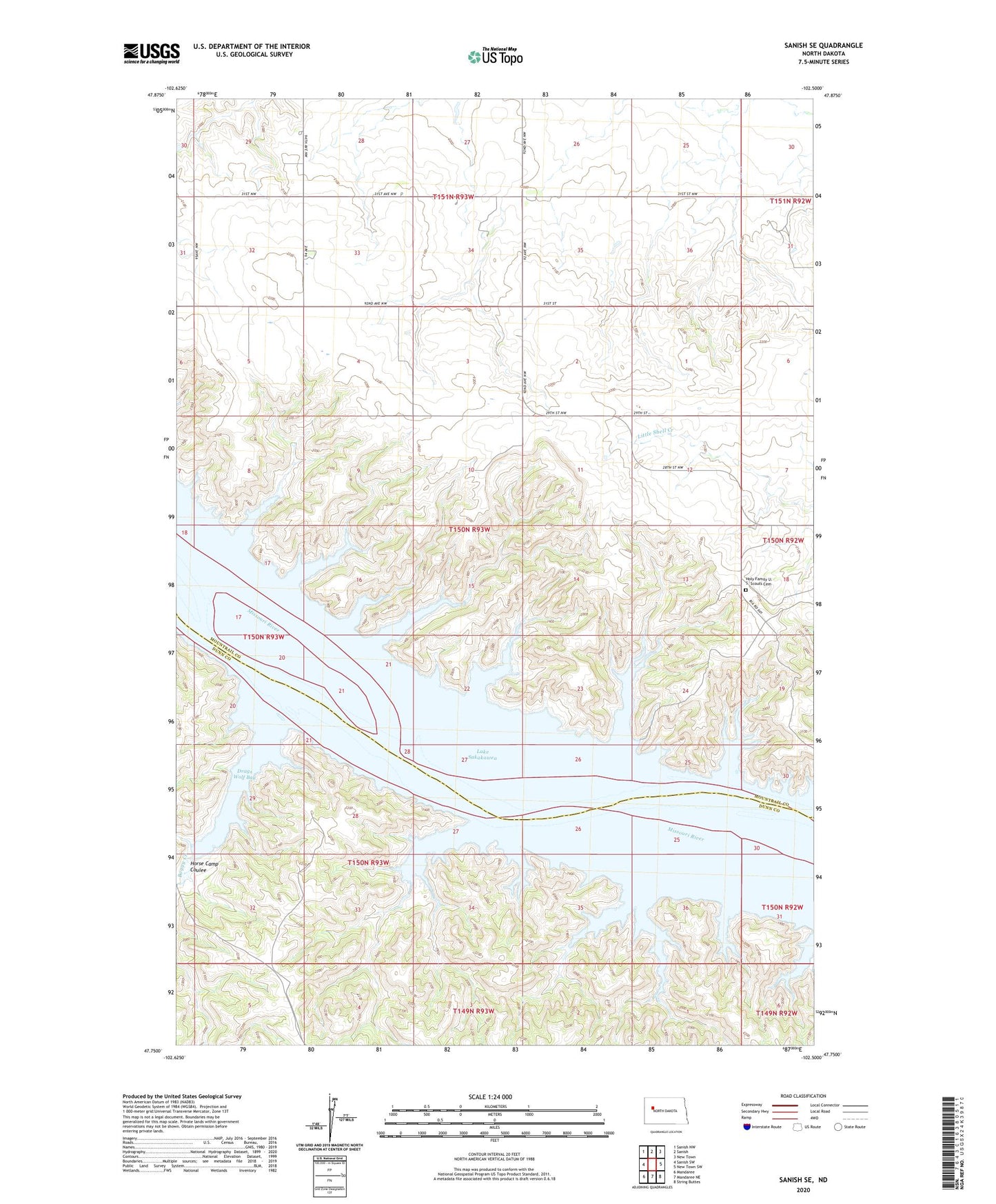
Sanish SE North Dakota US Topo Map
Couldn't load pickup availability
2020 topographic map quadrangle Sanish SE in the state of North Dakota. Scale: 1:24000. Based on the newly updated USGS 7.5' US Topo map series, this map is in the following counties: Mountrail, Dunn. The map contains contour data, water features, and other items you are used to seeing on USGS maps, but also has updated roads and other features. This is the next generation of topographic maps. Printed on high-quality waterproof paper with UV fade-resistant inks.
Quads adjacent to this one:
West: Sanish SW
Northwest: Sanish NW
North: Sanish
Northeast: New Town
East: New Town SW
Southeast: String Buttes
South: Mandaree NE
Southwest: Mandaree
Contains the following named places: Boggy Creek, Drags Wolf Bay, Holy Family U. S. Scouts Cemetery, Horse Camp Coulee, Little Shell Creek Public Use Area, Shell Creek Church, Sunday Island