
MyTopo
Selfridge North Dakota US Topo Map
Couldn't load pickup availability
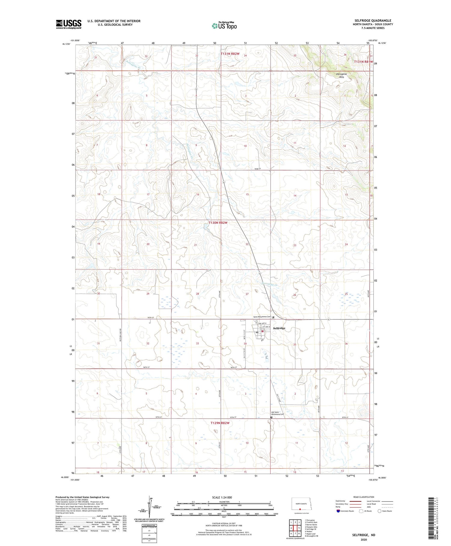
2020 topographic map quadrangle Selfridge in the state of North Dakota. Scale: 1:24000. Based on the newly updated USGS 7.5' US Topo map series, this map is in the following counties: Sioux. The map contains contour data, water features, and other items you are used to seeing on USGS maps, but also has updated roads and other features. This is the next generation of topographic maps. Printed on high-quality waterproof paper with UV fade-resistant inks.
Quads adjacent to this one:
West: Pamplin Hills
Northwest: Porcupine
North: Froelich Dam
Northeast: Barren Butte
East: Selfridge SE
Southeast: McLaughlin NE
South: Maple Leaf
Southwest: Walker
Contains the following named places: City of Selfridge, Old Saint Philomena Cemetery, Porcupine Hills, Saint Philomena Cemetery, Selfridge, Selfridge Post Office, Selfridge Public School, Selfridge Rural Fire District Station


