
MyTopo
Simcoe North Dakota US Topo Map
Couldn't load pickup availability
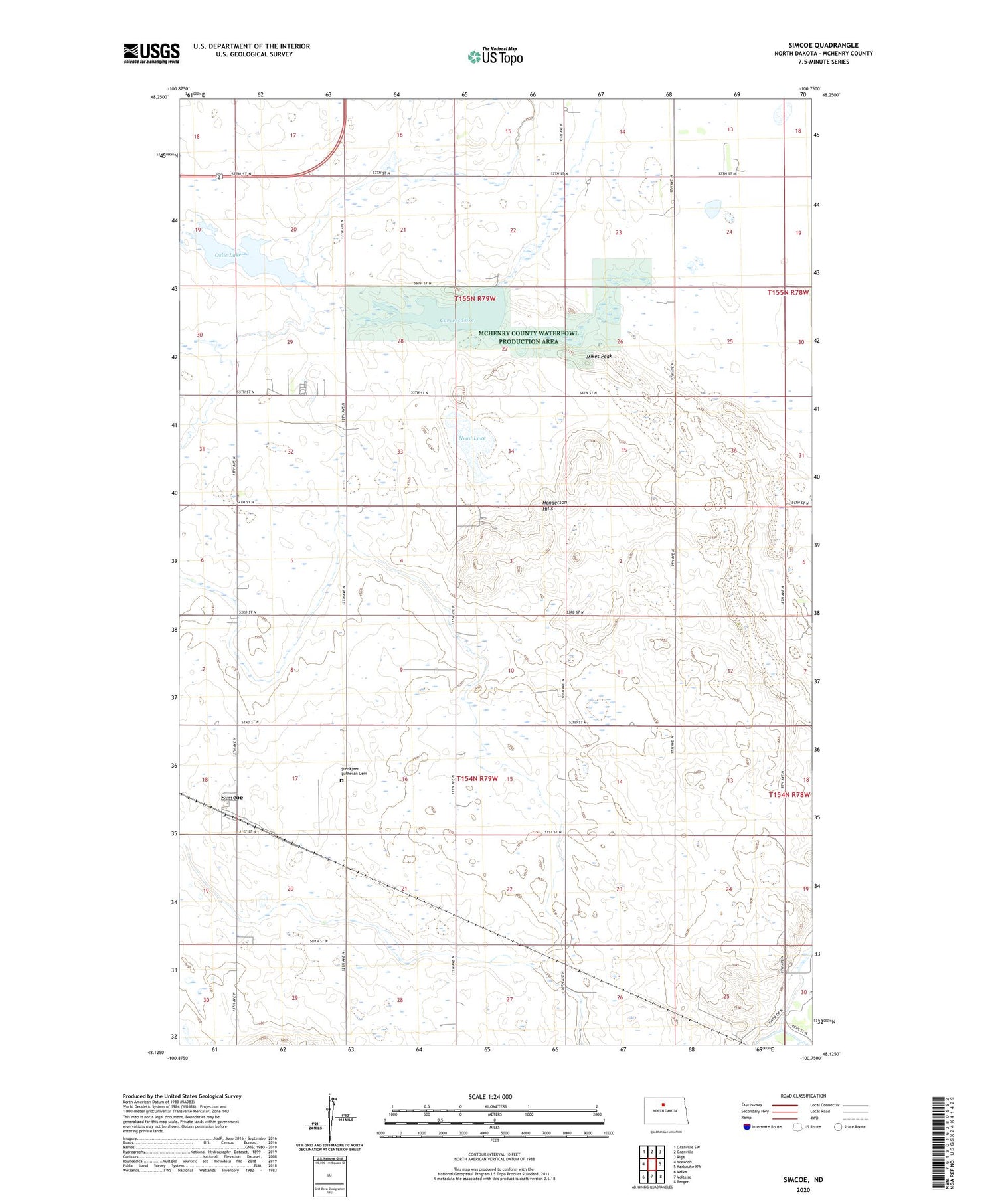
2020 topographic map quadrangle Simcoe in the state of North Dakota. Scale: 1:24000. Based on the newly updated USGS 7.5' US Topo map series, this map is in the following counties: McHenry. The map contains contour data, water features, and other items you are used to seeing on USGS maps, but also has updated roads and other features. This is the next generation of topographic maps. Printed on high-quality waterproof paper with UV fade-resistant inks.
Quads adjacent to this one:
West: Norwich
Northwest: Granville SW
North: Granville
Northeast: Riga
East: Karlsruhe NW
Southeast: Bergen
South: Voltaire
Southwest: Velva
Contains the following named places: Carvers Lake, Henderson Hills, McHenry County Waterfowl Production Area, Mikes Peak, Nead Lake, Oslie Lake, Simcoe, Stenkjaer Lutheran Cemetery, Township of Granville, Township of Hendrickson, Walters School Number 1, Walters School Number 2, Walters School Number 3, Walters School Number 4


