MyTopo
Stanton North Dakota US Topo Map
Couldn't load pickup availability
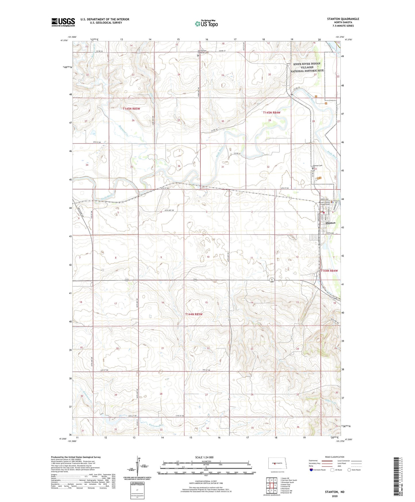
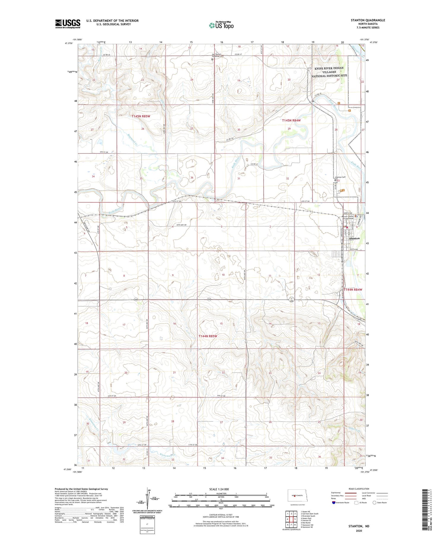
2020 topographic map quadrangle Stanton in the state of North Dakota. Scale: 1:24000. Based on the newly updated USGS 7.5' US Topo map series, this map is in the following counties: Mercer, McLean. The map contains contour data, water features, and other items you are used to seeing on USGS maps, but also has updated roads and other features. This is the next generation of topographic maps. Printed on high-quality waterproof paper with UV fade-resistant inks.
Quads adjacent to this one:
West: Hazen East
Northwest: Hazen NE
North: Garrison Dam South
Northeast: Riverdale South
East: Stanton SE
Southeast: Hannover NE
South: Hannover NW
Southwest: Red Butte
Contains the following named places: Arrowhead Dam, City of Stanton, Elm Creek, Knife River Indian Villages National Historic Site, Mercer County Courthouse, Mercer County Jail, Mercer County Sheriff's Office, Our Saviors Lutheran Cemetery, Raymond Creek, Stanton, Stanton Cemetery, Stanton City Fire Station, Stanton City Hall, Stanton Police Department, Stanton Post Office, Stanton Public Library, ZIP Code: 58571