MyTopo
Walhalla North Dakota US Topo Map
Couldn't load pickup availability
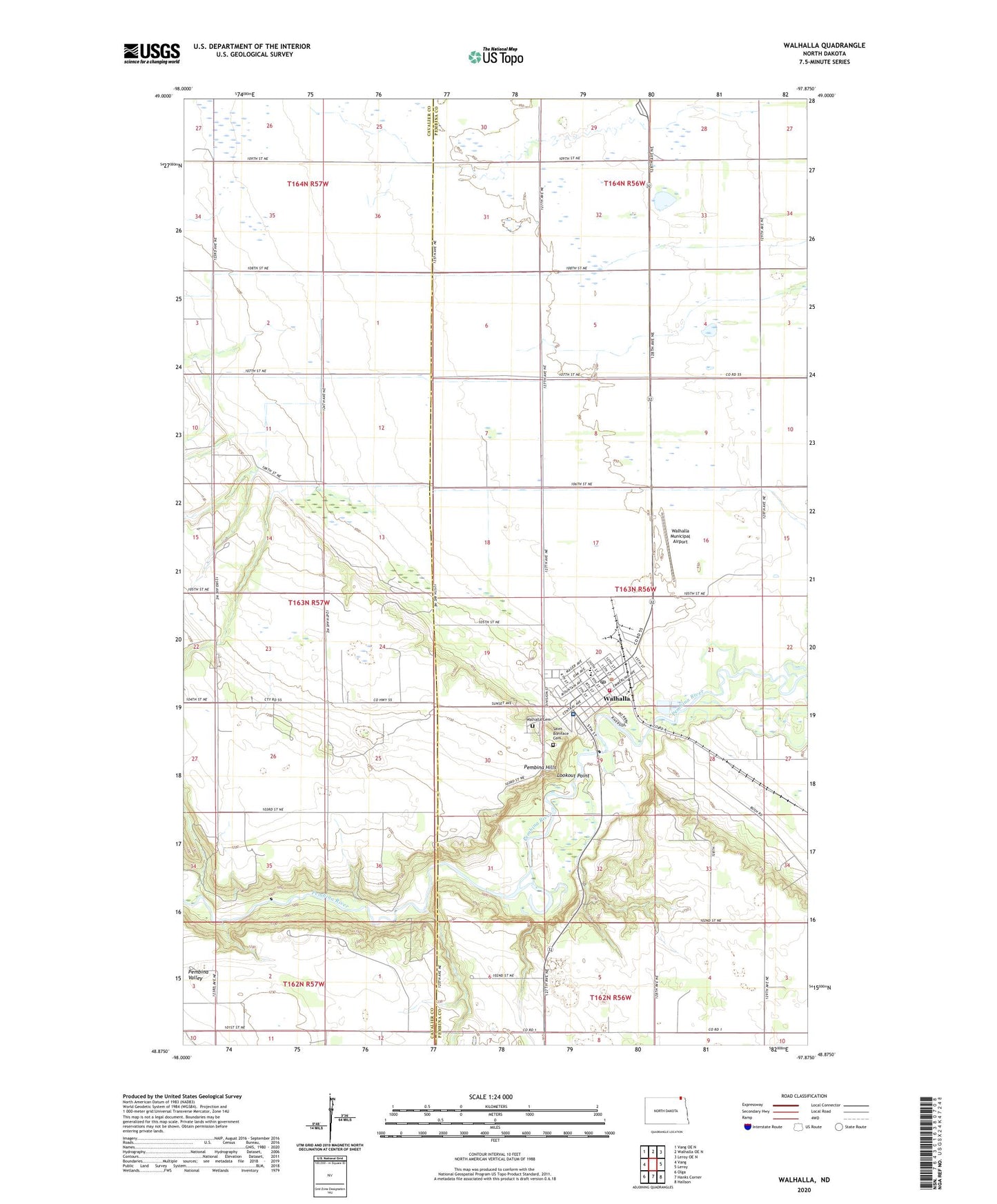
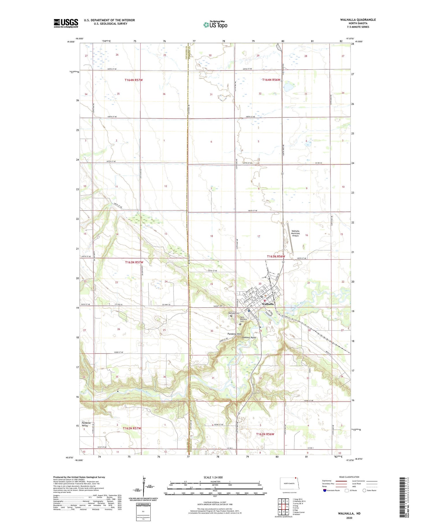
2020 topographic map quadrangle Walhalla in the state of North Dakota. Scale: 1:24000. Based on the newly updated USGS 7.5' US Topo map series, this map is in the following counties: Pembina, Cavalier. The map contains contour data, water features, and other items you are used to seeing on USGS maps, but also has updated roads and other features. This is the next generation of topographic maps. Printed on high-quality waterproof paper with UV fade-resistant inks.
Quads adjacent to this one:
West: Vang
Northwest: Vang OE N
North: Walhalla OE N
Northeast: Leroy OE N
East: Leroy
Southeast: Hallson
South: Hanks Corner
Southwest: Olga
Contains the following named places: City of Walhalla, Lookout Point, North Border-Walhalla Public School, Pembilier Nursing Center, Pembina Hills, Pembina Valley, Saint Boniface Cemetery, Tetrault Woods State Forest, Tetrault Woods State Forest Scenic Overlook, Tetrault Woods State Forest Trailhead, Township of Walhalla, Walhalla, Walhalla Ambulance Service, Walhalla Cemetery, Walhalla City Hall, Walhalla Fire Department and Fire Protection District, Walhalla Municipal Airport, Walhalla Post Office, Walhalla Public Library, ZIP Code: 58282