MyTopo
Wolf Coulee North Dakota US Topo Map
Couldn't load pickup availability
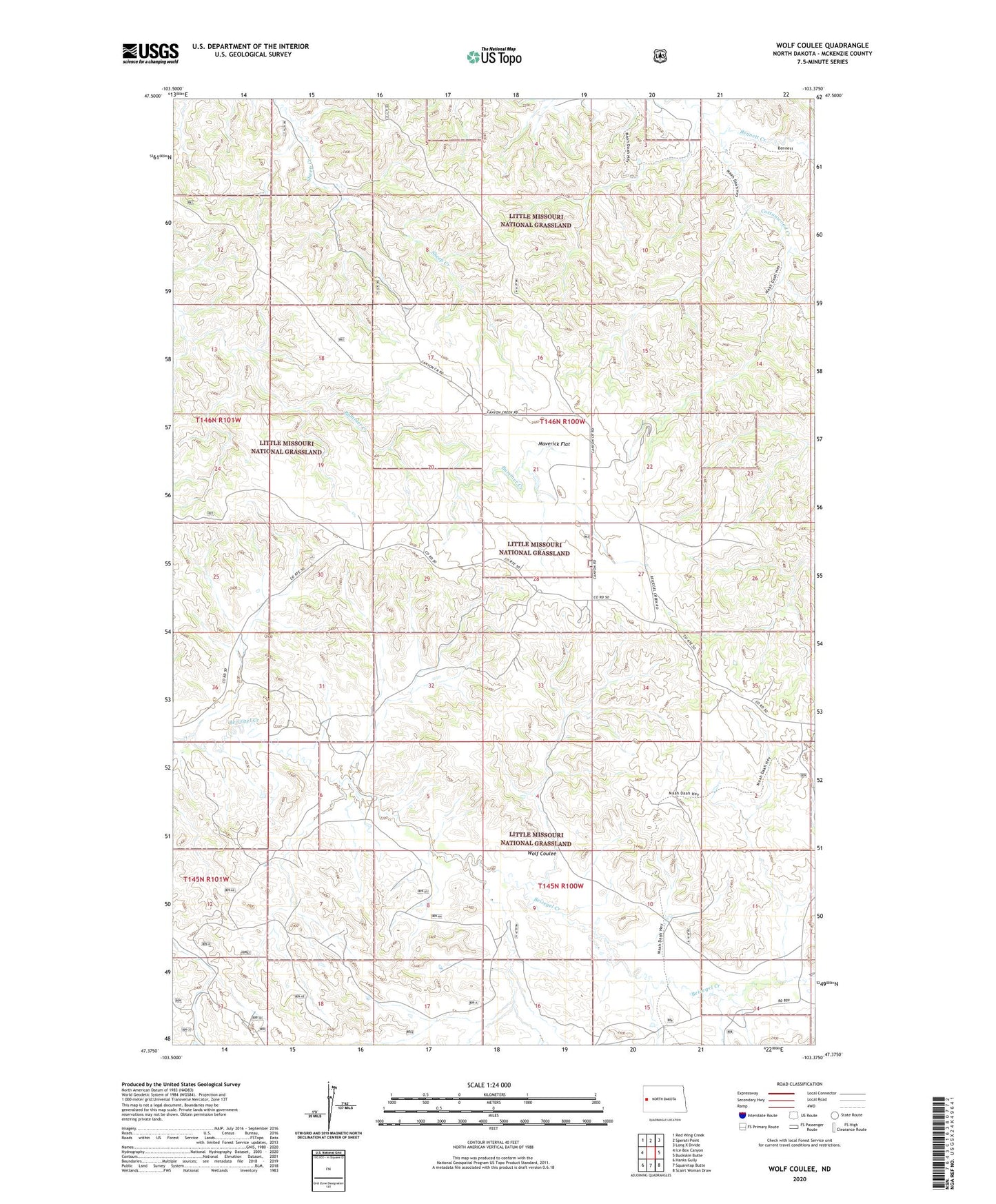
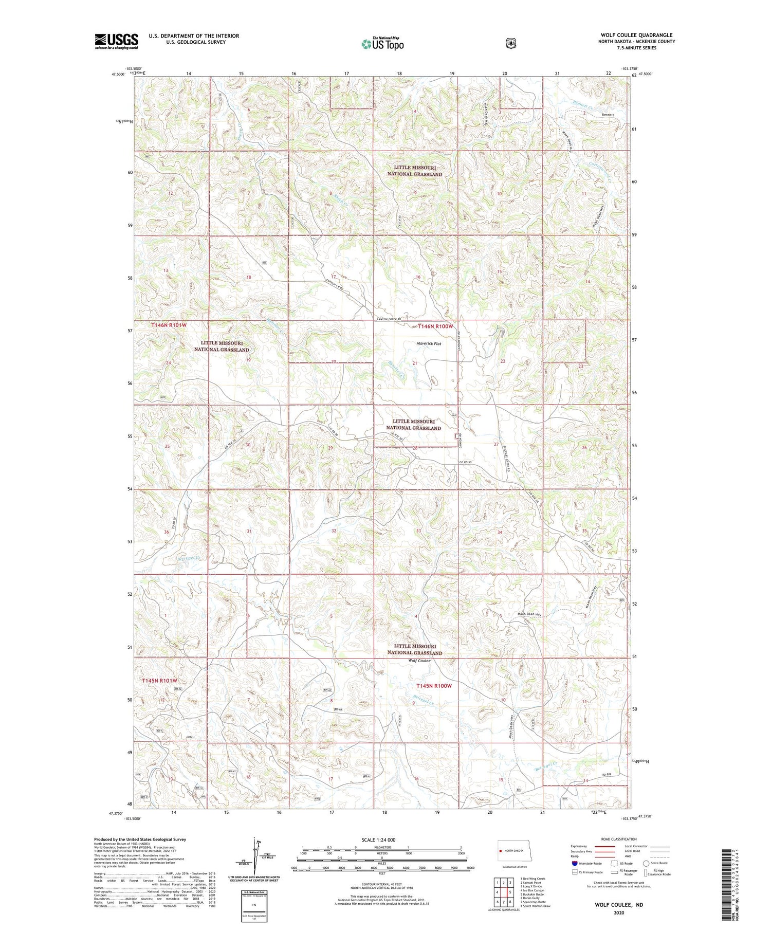
2020 topographic map quadrangle Wolf Coulee in the state of North Dakota. Scale: 1:24000. Based on the newly updated USGS 7.5' US Topo map series, this map is in the following counties: McKenzie. The map contains contour data, water features, and other items you are used to seeing on USGS maps, but also has updated roads and other features. This is the next generation of topographic maps. Printed on high-quality waterproof paper with UV fade-resistant inks.
Quads adjacent to this one:
West: Ice Box Canyon
Northwest: Red Wing Creek
North: Sperati Point
Northeast: Long X Divide
East: Buckskin Butte
Southeast: Scairt Woman Draw
South: Squaretop Butte
Southwest: Hanks Gully
Contains the following named places: Cottonwood Creek, Maverick Flat, McNaney Ranch, New Comb Ranch, Robinson Ranch, Schaper Ranch, Wolf Coulee