MyTopo
Otsego Ohio US Topo Map
Couldn't load pickup availability
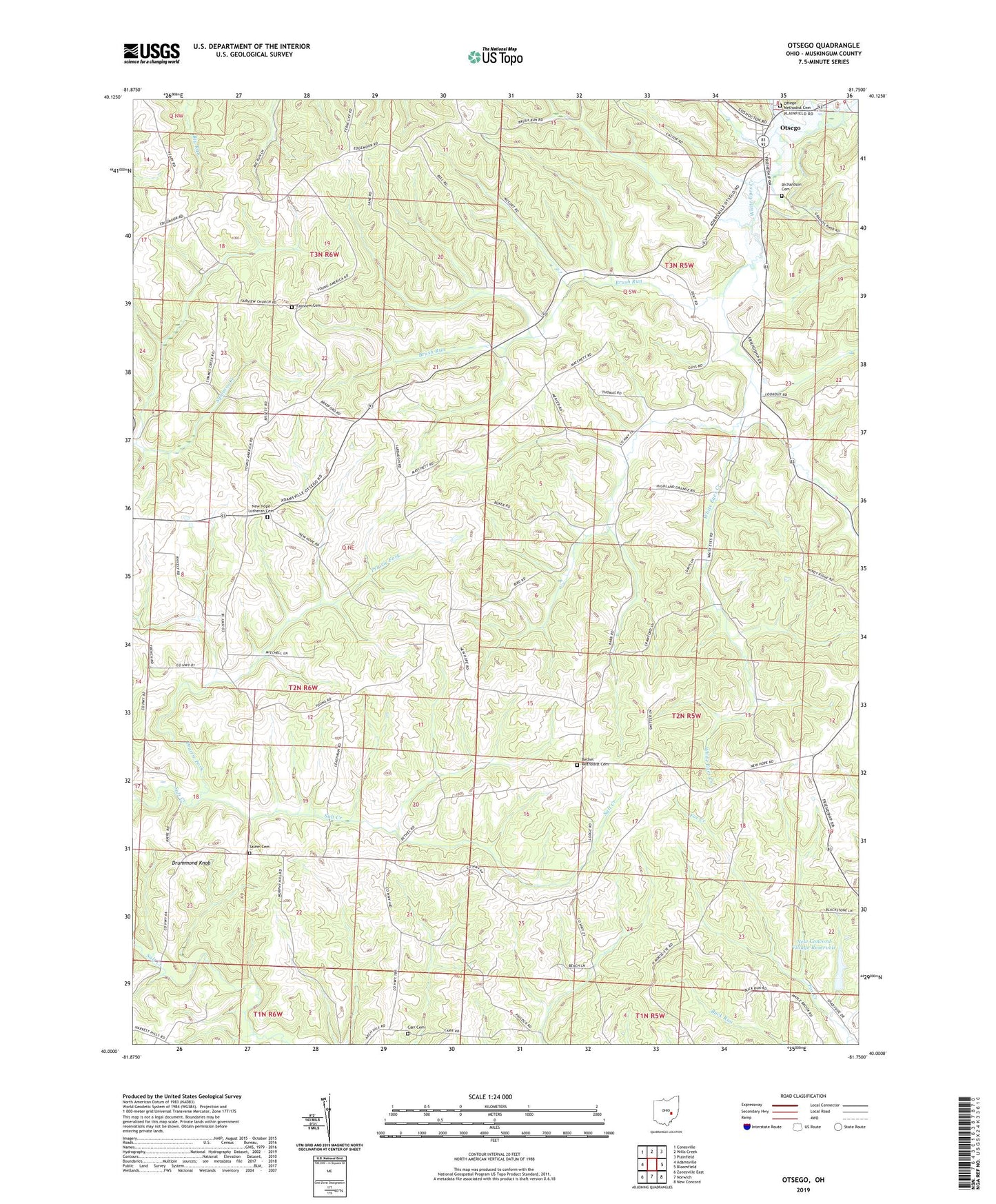
2019 topographic map quadrangle Otsego in the state of Ohio. Scale: 1:24000. Based on the newly updated USGS 7.5' US Topo map series, this map is in the following counties: Muskingum. The map contains contour data, water features, and other items you are used to seeing on USGS maps, but also has updated roads and other features. This is the next generation of topographic maps. Printed on high-quality waterproof paper with UV fade-resistant inks.
Quads adjacent to this one:
West: Adamsville
Northwest: Conesville
North: Wills Creek
Northeast: Plainfield
East: Bloomfield
Southeast: New Concord
South: Norwich
Southwest: Zanesville East
Contains the following named places: Anderson School, Barnett School, Bethel Methodist Cemetery, Bethel Methodist Church, Brush Run, Buker School, Burnt Mill School, Carr Cemetery, Drummond Knob, Fairview Cemetery, Fairview Methodist Church, Ferncliff, Ferncliff Post Office, Highland Orchard, Jamison School, Milligan School, Monroe Rural High and Grade School, New Concord Village Reservoir, New Concord Village Reservoir Dam, New Hope Lutheran Cemetery, New Hope Lutheran Church, Otsego, Otsego Baptist Church, Otsego Methodist Cemetery, Otsego Methodist Church, Otsego Post Office, Prairie Fork, Richardson Cemetery, Salem Cemetery, Salem Methodist Church, Township of Adams, Township of Highland, Township of Monroe, Township of Salem, Yearys Orchard, Young American School, ZIP Codes: 43767, 43802