MyTopo
Shults Oklahoma US Topo Map
Couldn't load pickup availability
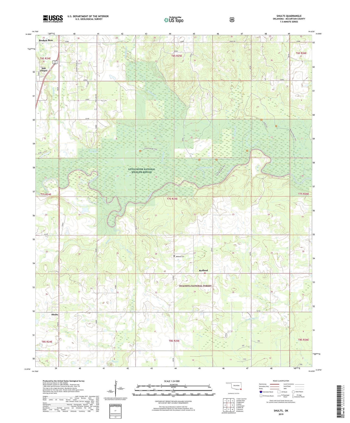
2019 topographic map quadrangle Shults in the state of Oklahoma. Scale: 1:24000. Based on the newly updated USGS 7.5' US Topo map series, this map is in the following counties: McCurtain. The map contains contour data, water features, and other items you are used to seeing on USGS maps, but also has updated roads and other features. This is the next generation of topographic maps. Printed on high-quality waterproof paper with UV fade-resistant inks.
Quads adjacent to this one:
West: Idabel
Northwest: Steel Junction
North: Broken Bow
Northeast: Eagletown
East: Goodwater
Southeast: Bokhoma
South: Haworth
Southwest: Idabel SE
Contains the following named places: Crooked Creek, Deeberry Lake, Haworth Volunteer Fire Department Station 2, Hill Chapel, Kulichito Church, Little River National Wildlife Refuge, Lukfata, Mount Zion Church, Mud Creek, Oknoname 089014 Dam, Oknoname 089014 Reservoir, Pine Lake, Redland, Redland Cemetery, Rock Creek, Shults, Terrapin Creek, Welch Store, Yanubbee Creek, Yashau Creek