MyTopo
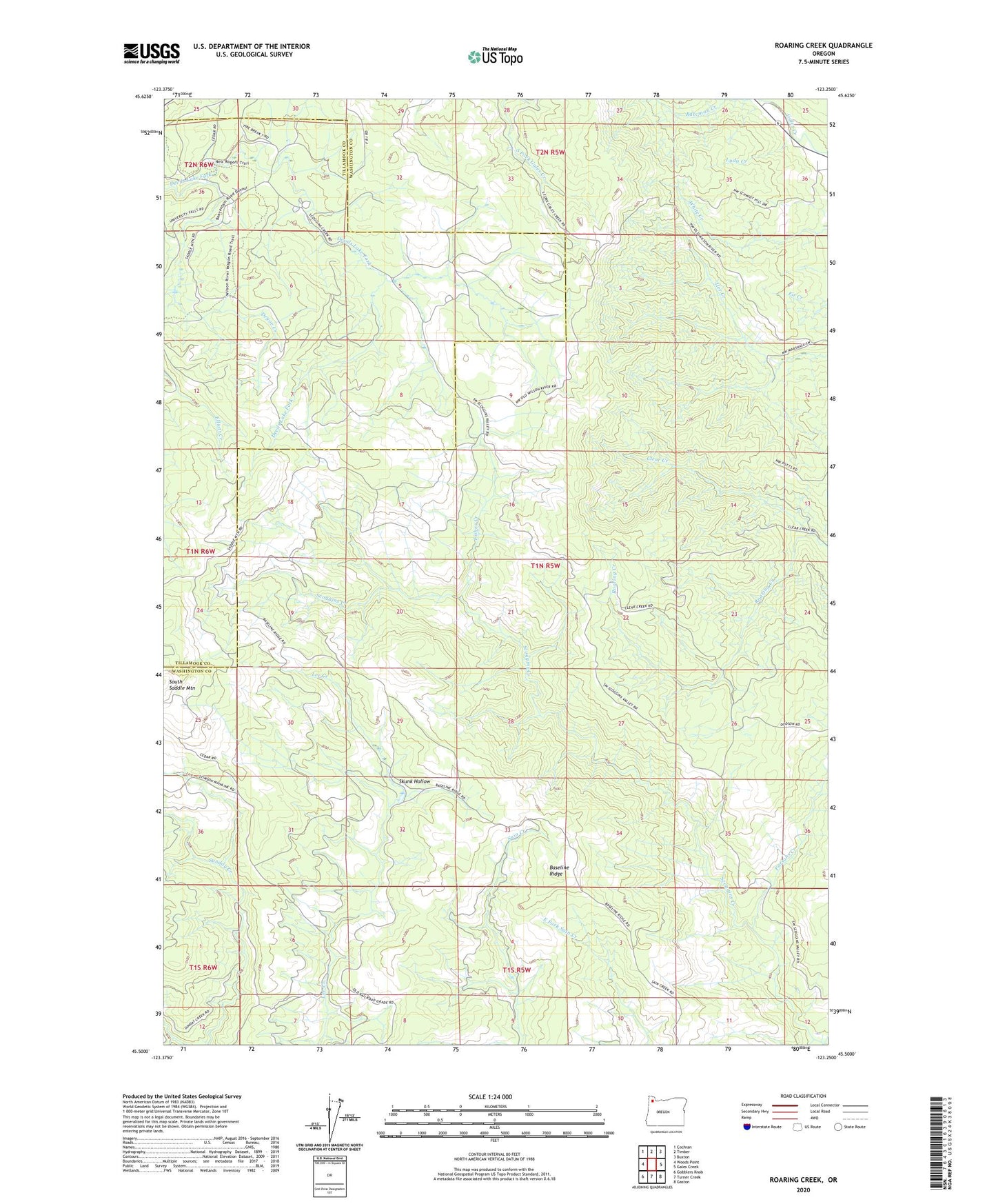
Roaring Creek Oregon US Topo Map
Couldn't load pickup availability
2020 topographic map quadrangle Roaring Creek in the state of Oregon. Scale: 1:24000. Based on the newly updated USGS 7.5' US Topo map series, this map is in the following counties: Washington, Tillamook. The map contains contour data, water features, and other items you are used to seeing on USGS maps, but also has updated roads and other features. This is the next generation of topographic maps. Printed on high-quality waterproof paper with UV fade-resistant inks.
Quads adjacent to this one:
West: Woods Point
Northwest: Cochran
North: Timber
Northeast: Buxton
East: Gales Creek
Southeast: Gaston
South: Turner Creek
Southwest: Gobblers Knob
Contains the following named places: Baseline Ridge, Bateman Creek, Browns Camp OHV Staging Area, Coast Range Division, Deyoe Creek, Fisher Creek, Lyda Creek, Parsons Creek, Roaring Creek, Skunk Hollow, South Saddle Mountain, Tillamook State Forest