MyTopo
Shevlin Park Oregon US Topo Map
Couldn't load pickup availability
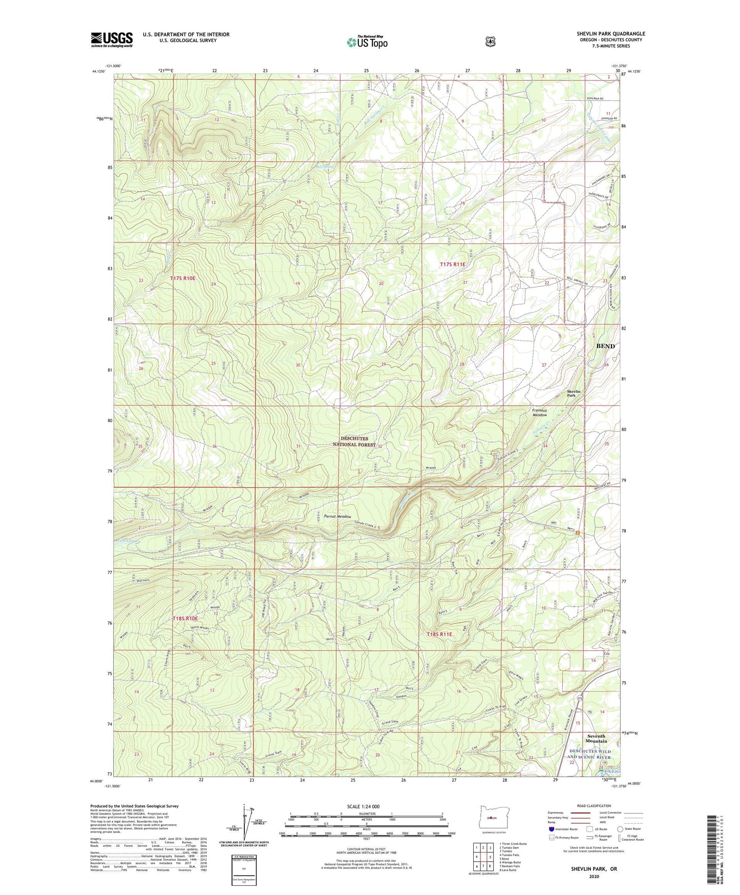
2020 topographic map quadrangle Shevlin Park in the state of Oregon. Scale: 1:24000. Based on the newly updated USGS 7.5' US Topo map series, this map is in the following counties: Deschutes. The map contains contour data, water features, and other items you are used to seeing on USGS maps, but also has updated roads and other features. This is the next generation of topographic maps. Printed on high-quality waterproof paper with UV fade-resistant inks.
Quads adjacent to this one:
West: Tumalo Falls
Northwest: Three Creek Butte
North: Tumalo Dam
Northeast: Tumalo
East: Bend
Southeast: Lava Butte
South: Benham Falls
Southwest: Wanoga Butte
Contains the following named places: Bull Spring, Fremont Meadow, Pernot Meadow, Seventh Mountain Census Designated Place, Shevlin Park, Tumalo Feed Canal, Widgi Creek Golf Club