
MyTopo
Hartstown Pennsylvania US Topo Map
Couldn't load pickup availability
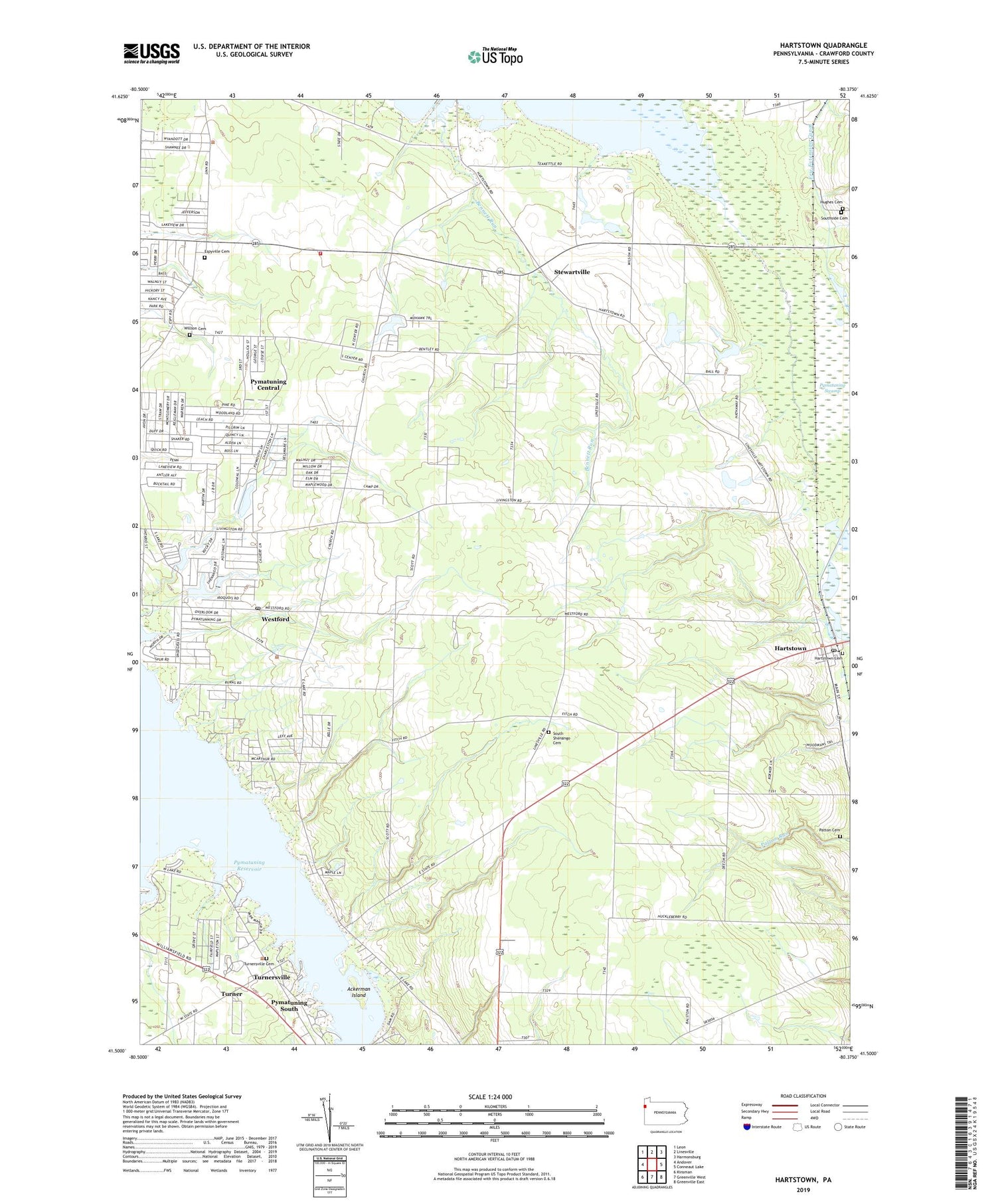
2019 topographic map quadrangle Hartstown in the state of Pennsylvania. Scale: 1:24000. Based on the newly updated USGS 7.5' US Topo map series, this map is in the following counties: Crawford. The map contains contour data, water features, and other items you are used to seeing on USGS maps, but also has updated roads and other features. This is the next generation of topographic maps. Printed on high-quality waterproof paper with UV fade-resistant inks.
Quads adjacent to this one:
West: Andover
Northwest: Leon
North: Linesville
Northeast: Harmonsburg
East: Conneaut Lake
Southeast: Greenville East
South: Greenville West
Southwest: Kinsman
Contains the following named places: Ackerman Island, Bennett Run, Brick Schoolhouse, Brush College School, Center School, Espyville, Espyville Cemetery, Espyville Station, Fallowfield Volunteer Fire Department, Gamble School, Hartstown, Hartstown Cemetery, Hartstown Census Designated Place, Hartstown Golf Course, Hartstown Post Office, Hughes Cemetery, Marshall Corners, Martin School, North Shenango Church, North Shenango School, North Shenango Volunteer Fire Department 17, Patton Cemetery, Pymatuning Central Census Designated Place, Pymatuning Reservoir, Pymatuning South Census Designated Place, Pymatuning State Park, Pymatuning Swamp, South Shenango Cemetery, South Shenango Church, Southside Cemetery, Stewartville, Township of North Shenango, Township of South Shenango, Township of West Fallowfield, Township of West Shenango, Turner, Turnersville, Turnersville Cemetery, Wade School, Westford, Westford Post Office, Willson Cemetery, ZIP Codes: 16110, 16131, 16134


