MyTopo
Thornhurst Pennsylvania US Topo Map
Couldn't load pickup availability
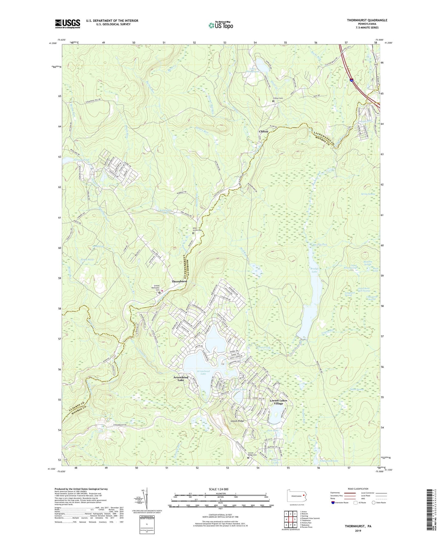
2019 topographic map quadrangle Thornhurst in the state of Pennsylvania. Scale: 1:24000. Based on the newly updated USGS 7.5' US Topo map series, this map is in the following counties: Monroe, Lackawanna, Luzerne, Wayne. The map contains contour data, water features, and other items you are used to seeing on USGS maps, but also has updated roads and other features. This is the next generation of topographic maps. Printed on high-quality waterproof paper with UV fade-resistant inks.
Quads adjacent to this one:
West: Pleasant View Summit
Northwest: Avoca
North: Moscow
Northeast: Sterling
East: Tobyhanna
Southeast: Pocono Pines
South: Blakeslee
Southwest: Hickory Run
Contains the following named places: Anglewood Lake, Arrowhead Lake, Arrowhead Lake Dam, Ash Creek, Bailer Dam, Bleeksley Swamp, Blexley Run, Brady Dam, Bradys Lake, Bradys Lake Dam, Bradys Switch, Buckey Run, Butler Run, Choke Creek, City of Rome Dark Swamp, City of Rome Swamp, Clifton, Clifton Cemetery, Drums, East Lake, Fayette School, Fenner Mill Run, Fritz Run, Grassy Pond, Hagen Run, Kasulaitis Lake, Lake Champagne, Locust Lake, Locust Lakes Village, Locust Ridge, Locust Ridge Cemetery, Locust Ridge School, Longpatch Swamp, Mash Creek, Meadow Brook, Nines Pond, North Arrowhead Lake, North Arrowhead Lake Dam, Pine Grove Cemetery, Pine Grove School, Pond Creek, Rauscher Run, Rucks Run, Sand Spring, Sand Spring Creek, Selfice Swamp, Silver Creek, Spring Run, Spruce Run, State Game Lands Number 135, Tamarack Creek, Thornhurst, Thornhurst Picnic Area, Thornhurst Volunteer Fire and Rescue Company Station 54, Township of Clifton, Township of Thornhurst, Tripup Run, Trout Creek, Underwood Swamp, United Methodist Cemetery, Wolf Run, ZIP Codes: 18347, 18424