MyTopo
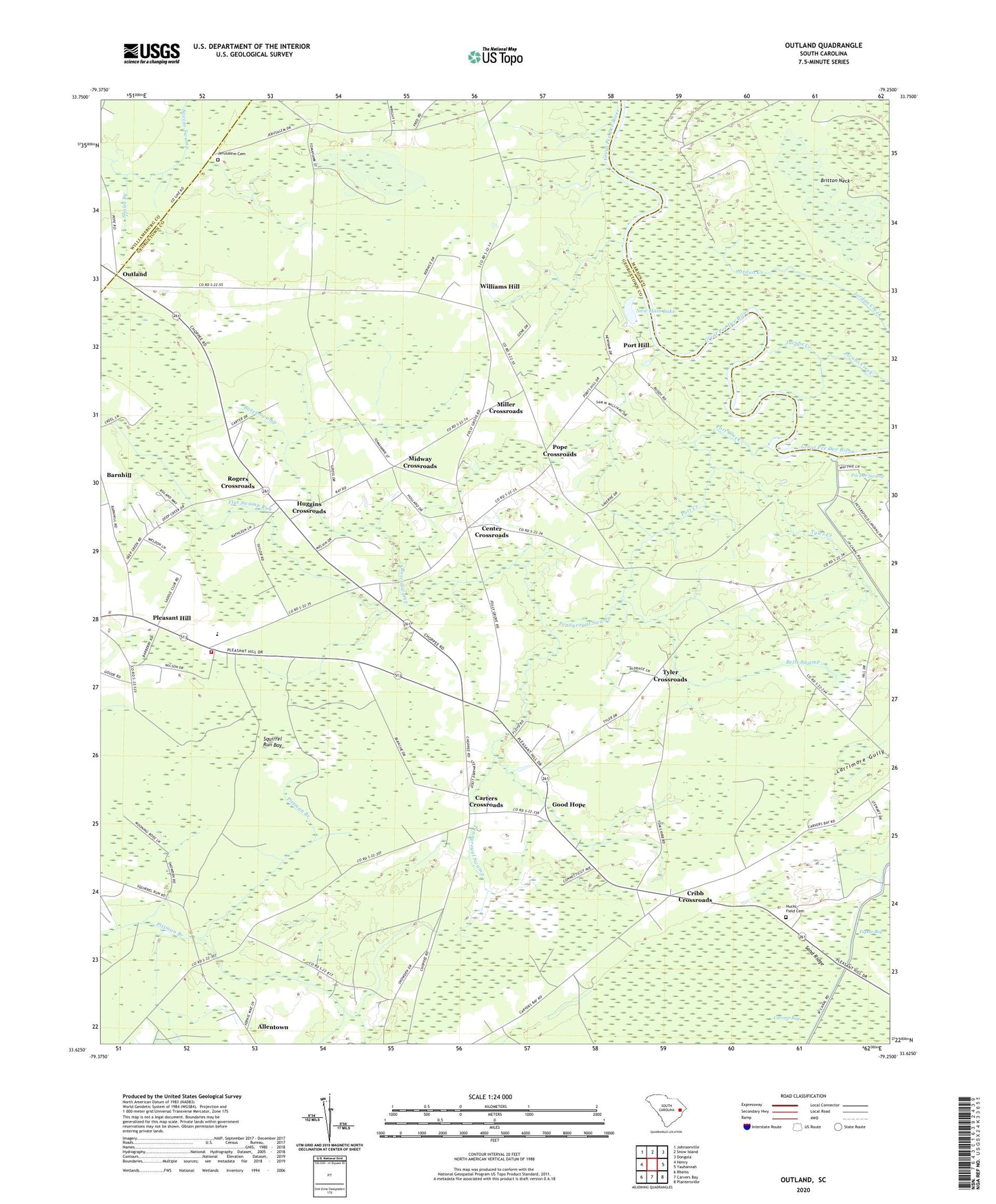
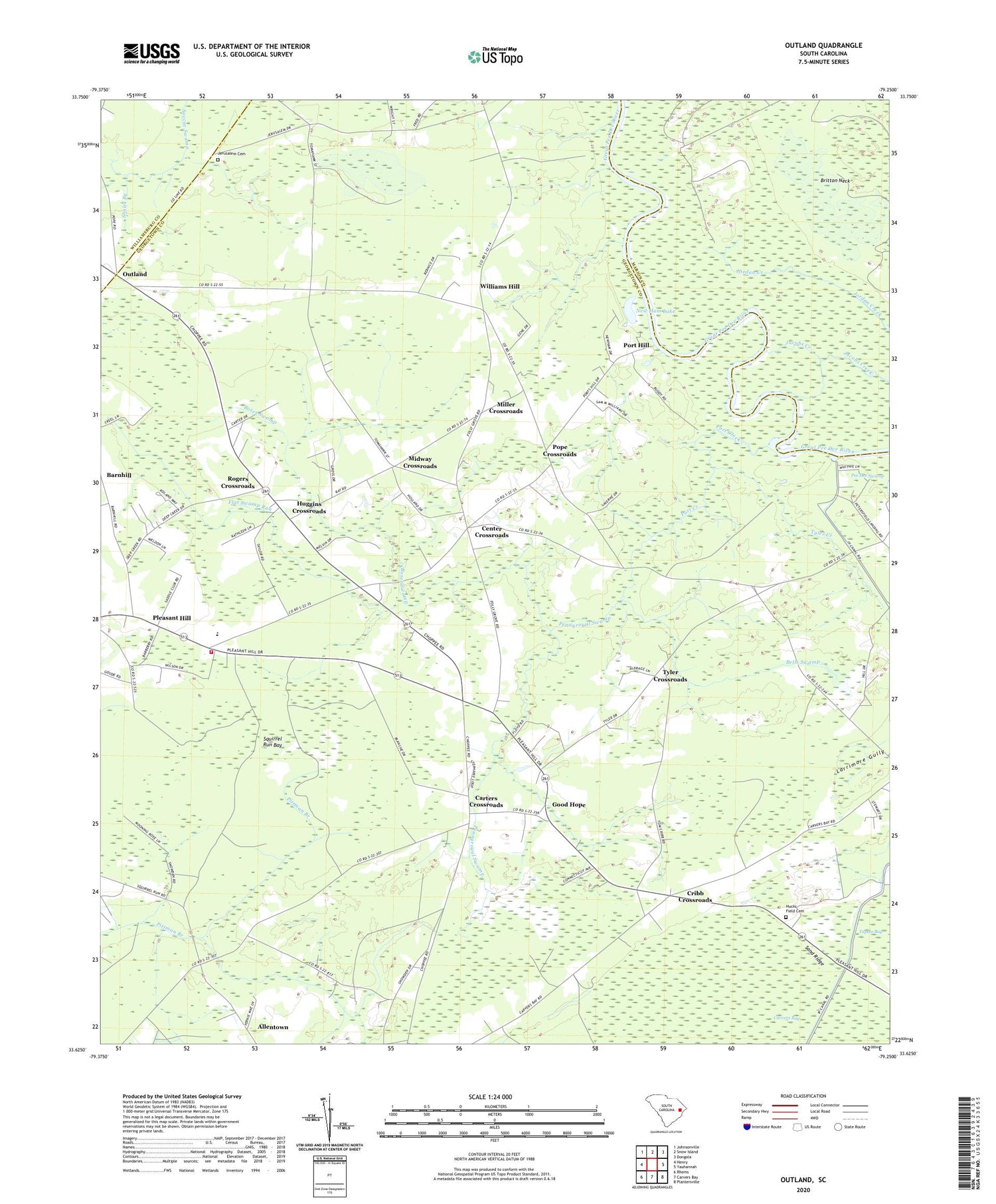
Outland South Carolina US Topo Map
Couldn't load pickup availability
2020 topographic map quadrangle Outland in the state of South Carolina. Scale: 1:24000. Based on the newly updated USGS 7.5' US Topo map series, this map is in the following counties: Georgetown, Marion, Williamsburg. The map contains contour data, water features, and other items you are used to seeing on USGS maps, but also has updated roads and other features. This is the next generation of topographic maps. Printed on high-quality waterproof paper with UV fade-resistant inks.
Quads adjacent to this one:
West: Henry
Northwest: Johnsonville
North: Snow Island
Northeast: Dongola
East: Yauhannah
Southeast: Plantersville
South: Carvers Bay
Southwest: Rhems
Contains the following named places: Allentown, Bells Swamp, Boser Swamp, Britton Neck, Carters Church, Carters Crossroads, Center Church, Center Crossroads, Cribb Crossroads, Deep Creek Elementary School, Flat Swamp Run, Georgetown Fire Department Station 4, Good Hope, Good Hope Church, Hucks Field Cemetery, Huggins Crossroads, Jerusalem Cemetery, Jerusalem Church, Midway Crossroads, Miller Crossroads, Mount Zion Church, New Ham Lake, Outland, Outland Church of God, Pee Dee Church, Pennyroyal Swamp, Pleasant Hill, Pleasant Hill Church, Pleasant Hill Elementary, Pleasant Hill High School, Pleasant Hill Middle School, Pleasant Hill-Folly Grove Division, Pope Crossroads, Port Creek, Port Hill, Port Hill Landing, Rogers Crossroads, Sand Ridge, Shaler Branch, Squirrel Run Bay, Tyler Creek, Tyler Crossroads, Walkers Church, Williams Hill, Williams Hill Church, WLGI-FM (Hemingway)