MyTopo
Trio South Carolina US Topo Map
Couldn't load pickup availability
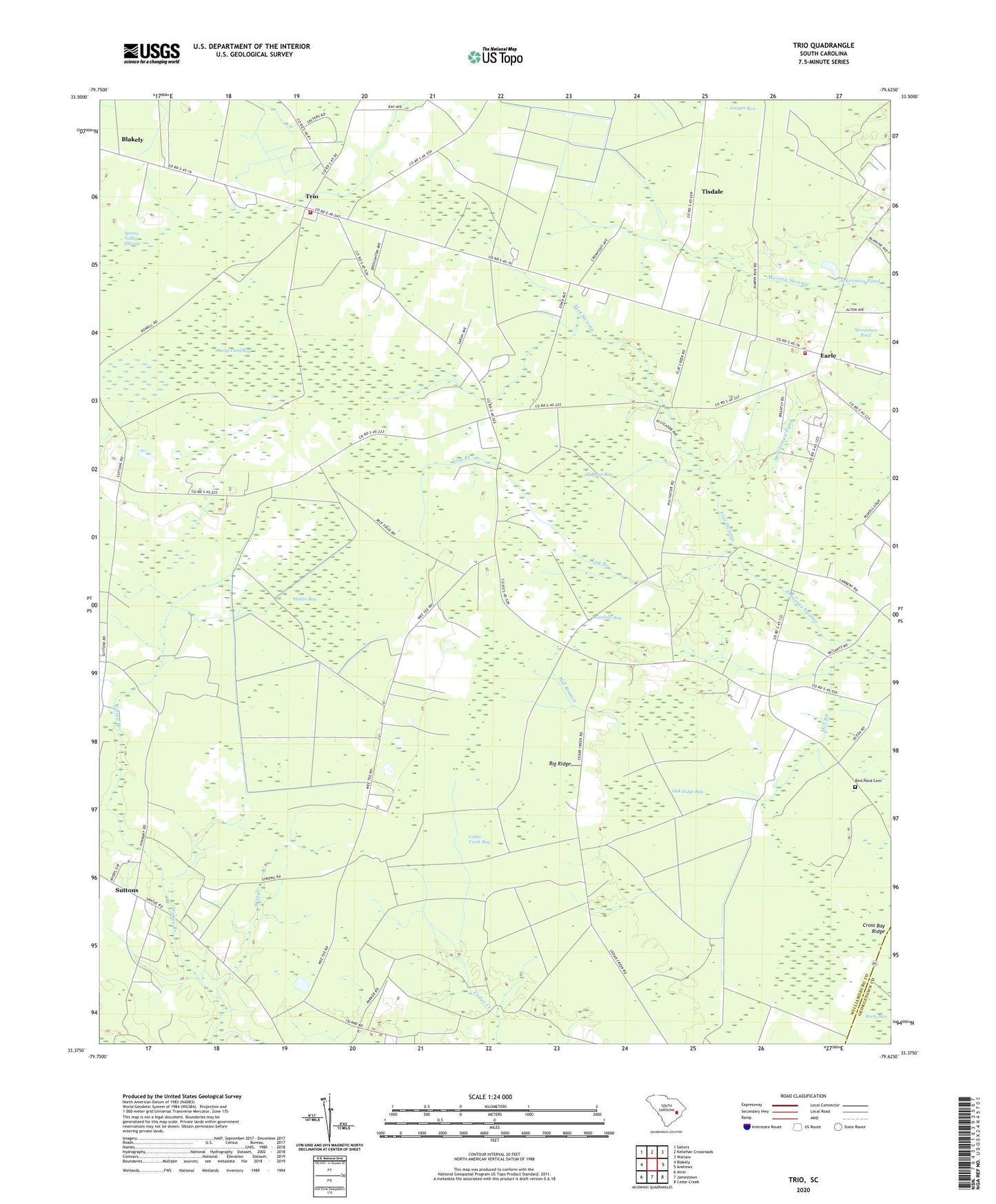
2020 topographic map quadrangle Trio in the state of South Carolina. Scale: 1:24000. Based on the newly updated USGS 7.5' US Topo map series, this map is in the following counties: Williamsburg, Georgetown. The map contains contour data, water features, and other items you are used to seeing on USGS maps, but also has updated roads and other features. This is the next generation of topographic maps. Printed on high-quality waterproof paper with UV fade-resistant inks.
Quads adjacent to this one:
West: Blakely
Northwest: Salters
North: Kellehan Crossroads
Northeast: Warsaw
East: Andrews
Southeast: Cedar Creek
South: Jamestown
Southwest: Alvin
Contains the following named places: Ackerman Pond, Ackerman Pond Dam D-3096, Aimwell School, Alligator Bay, Big Ridge, Bird Pond Cemetery, Camp Pond Bay, Cedar Creek Bay, Cook Corner, Cross Bay Ridge, Earle, Earle Lookout Tower, Earle School, Earls Methodist Episcopal Church South, Faircloth Plantation, Flat Swamp, Juniper Run, Log Branch, Martin Corner, Mill Branch, Mill Creek, Nazareth African Methodist Episcopal Church, Oak Ridge, Oak Ridge Bay, Oak Ridge Church, Oak Ridge School, Ricefield Bay, Saint John Church, Saint John School, Sportsman Pond, Spring Pond Church, Spring Valley Swamp, Suttons, Tisdale, Trio, Trio Division, Trio Methodist Episcopal Church South, Williamsburg County Fire Department 11 - Trio, Williamsburg County Fire Department Station 15, Williamsburg County Headstart School, Wittee Bay, Wittee School