MyTopo
Angostura Reservoir South Dakota US Topo Map
Couldn't load pickup availability
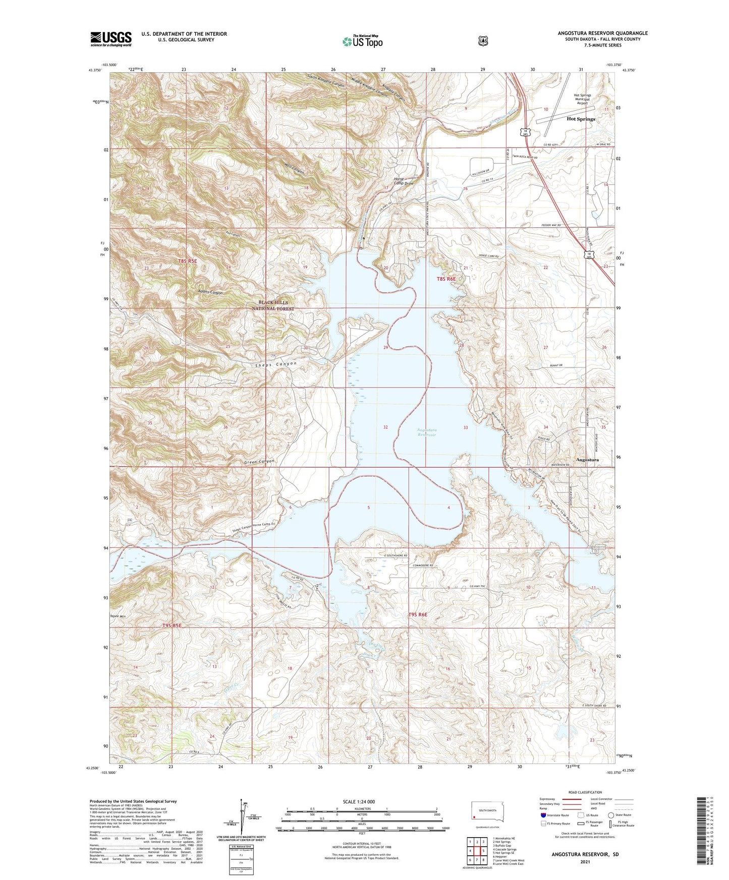
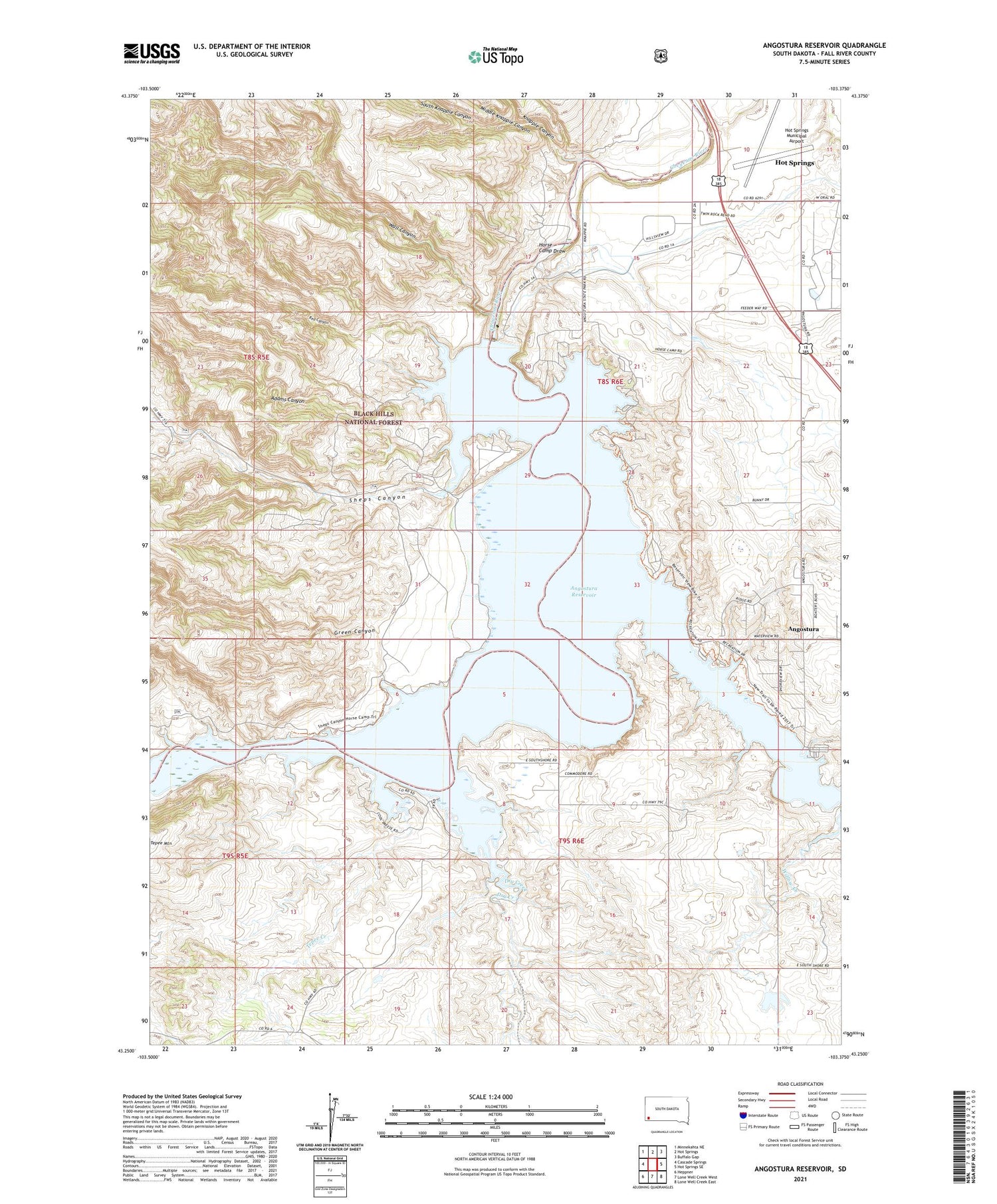
2021 topographic map quadrangle Angostura Reservoir in the state of South Dakota. Scale: 1:24000. Based on the newly updated USGS 7.5' US Topo map series, this map is in the following counties: Fall River. The map contains contour data, water features, and other items you are used to seeing on USGS maps, but also has updated roads and other features. This is the next generation of topographic maps. Printed on high-quality waterproof paper with UV fade-resistant inks.
Quads adjacent to this one:
West: Cascade Springs
Northwest: Minnekahta NE
North: Hot Springs
Northeast: Buffalo Gap
East: Hot Springs SE
Southeast: Lone Well Creek East
South: Lone Well Creek West
Southwest: Heppner
Contains the following named places: Adams Canyon, Angostura, Angostura Census Designated Place, Angostura Dam, Angostura Reservoir, Angostura Reservoir State Recreation Area, Bailey Pond Number 1 Dam, Coleman School, Dry Creek, Fall River Feedyard, Green Canyon, Horse Camp Draw, Horsehead Creek, Hot Springs Municipal Airport, Knapple Canyon, Lithia, Lithia Post Office, Lithia School, Maitland, Middle Knappie Canyon, North Knappie Canyon, Peterspuddle Dam, Red Canyon, Sheps Canyon, South Knappie Canyon, Tepee Creek, Tepee Mountain, Township of Lithia, Wall Canyon, Willow Creek