MyTopo
Jewel Cave South Dakota US Topo Map
Couldn't load pickup availability
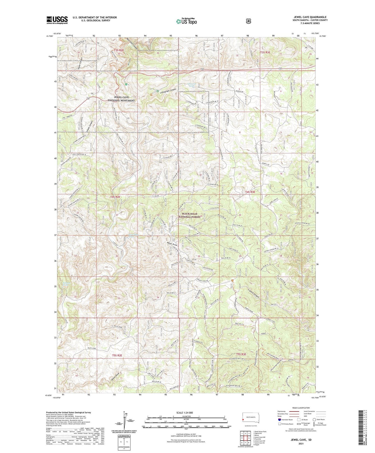
2021 topographic map quadrangle Jewel Cave in the state of South Dakota. Scale: 1:24000. Based on the newly updated USGS 7.5' US Topo map series, this map is in the following counties: Custer. The map contains contour data, water features, and other items you are used to seeing on USGS maps, but also has updated roads and other features. This is the next generation of topographic maps. Printed on high-quality waterproof paper with UV fade-resistant inks.
Quads adjacent to this one:
West: Jewel Cave NW
Northwest: Dead Horse Flats
North: Signal Hill
Northeast: Berne
East: Fourmile
Southeast: Argyle
South: Jewel Cave SE
Southwest: Jewel Cave SW
Contains the following named places: Bull Flats School, Dunbar Ranch, Freeland Well, Freelands Ranch, Gurneys Ranch, Harris Ranch, Jewel Cave Campground, Jewel Cave National Monument, Jewel Cave Visitor Center, King Tut Mine, Layton Well, Lithograph Canyon, Lithograph Spring, McKenna Spring, Morrison Ranch, Smith Ranch, Stapp Quarry, Unorganized Territory of West Custer, Ventling Ranch, Water Draw, Water Draw Spring, West Hell Canyon, Wolf Ranch, Y-4 Ranch, Y-4 Well