MyTopo
Minnekahta South Dakota US Topo Map
Couldn't load pickup availability
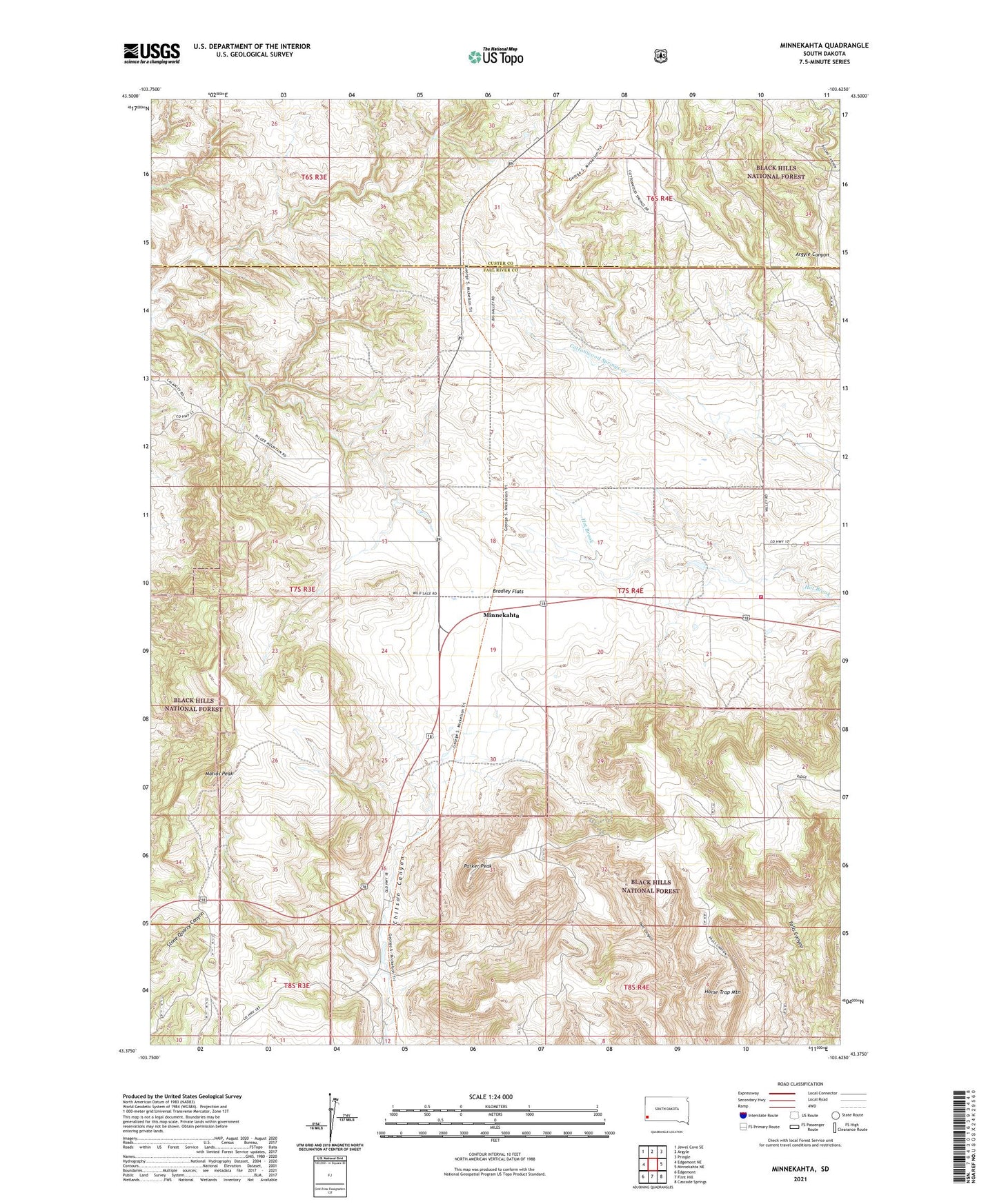
2021 topographic map quadrangle Minnekahta in the state of South Dakota. Scale: 1:24000. Based on the newly updated USGS 7.5' US Topo map series, this map is in the following counties: Fall River, Custer. The map contains contour data, water features, and other items you are used to seeing on USGS maps, but also has updated roads and other features. This is the next generation of topographic maps. Printed on high-quality waterproof paper with UV fade-resistant inks.
Quads adjacent to this one:
West: Edgemont NE
Northwest: Jewel Cave SE
North: Argyle
Northeast: Pringle
East: Minnekahta NE
Southeast: Cascade Springs
South: Flint Hill
Southwest: Edgemont
Contains the following named places: Argyle Canyon, Bradley Flats, Fossil Cycad National Monument, Horse Trap Mountain, Ivanhoe, Johnson Ranch, Marty School, Matias Peak, McCall Well, Minnekahta, Minnekahta Valley Volunteer Fire Department, Parker Peak, School Number 3, Spring on the Hill, Z R Ranch