MyTopo
Lincoln Point Utah US Topo Map
Couldn't load pickup availability
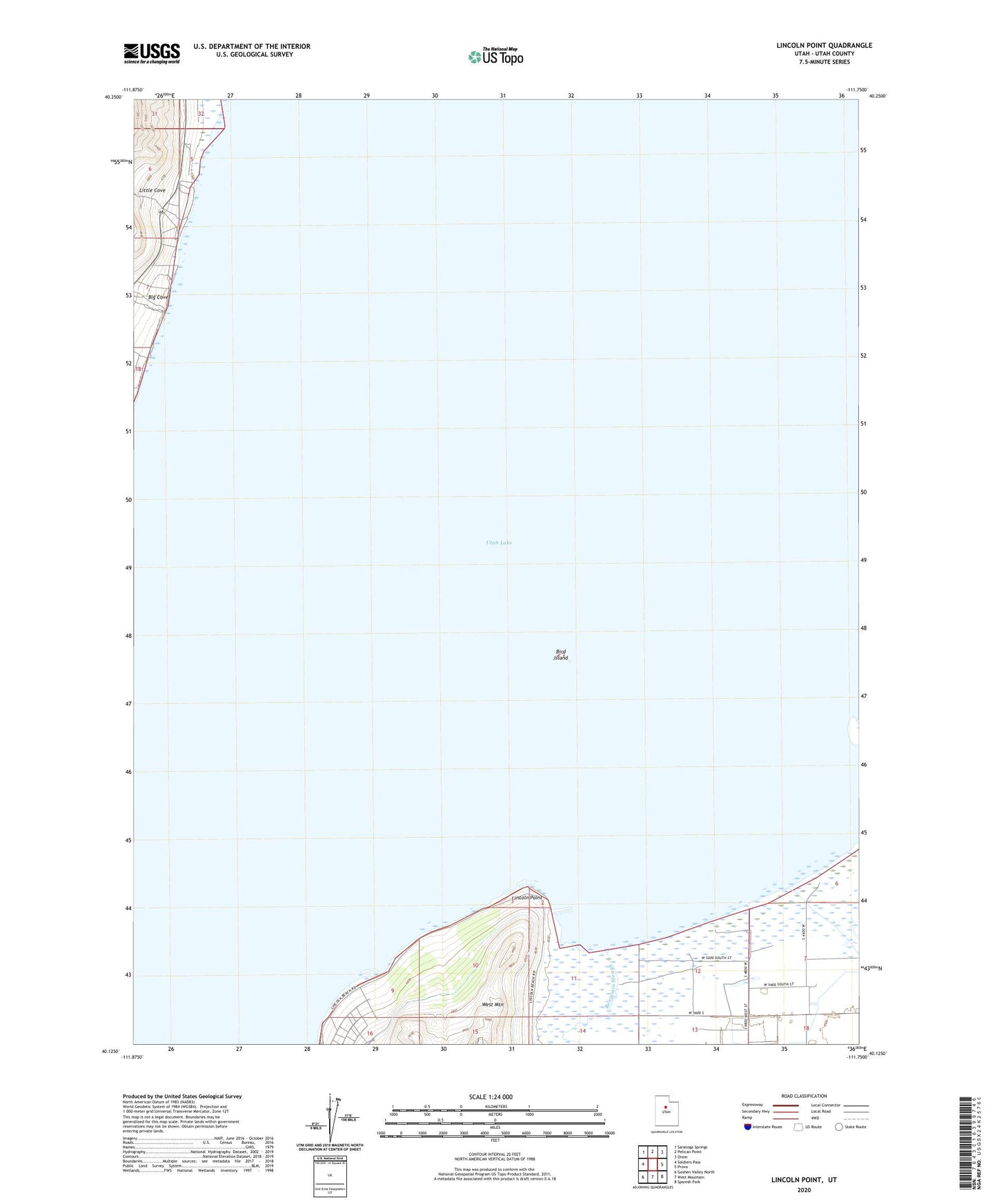
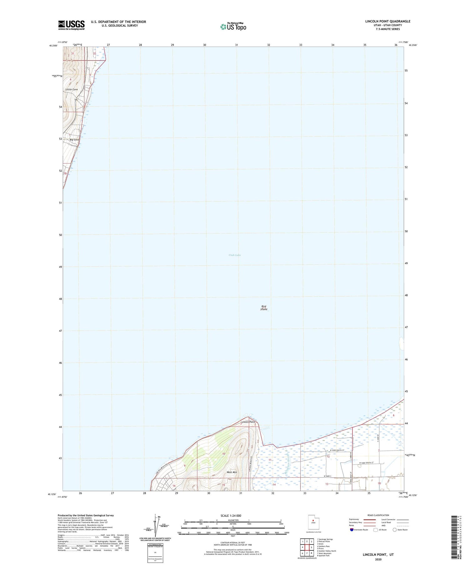
2020 topographic map quadrangle Lincoln Point in the state of Utah. Scale: 1:24000. Based on the newly updated USGS 7.5' US Topo map series, this map is in the following counties: Utah. The map contains contour data, water features, and other items you are used to seeing on USGS maps, but also has updated roads and other features. This is the next generation of topographic maps. Printed on high-quality waterproof paper with UV fade-resistant inks.
Quads adjacent to this one:
West: Soldiers Pass
Northwest: Saratoga Springs
North: Pelican Point
Northeast: Orem
East: Provo
Southeast: Spanish Fork
South: West Mountain
Southwest: Goshen Valley North
Contains the following named places: Benjamin Slough, Big Cove, Bird Island, Lincoln Point, Little Cove, Rock Island Waterfowl Management Area, Utah Lake