MyTopo
Newton Utah US Topo Map
Couldn't load pickup availability
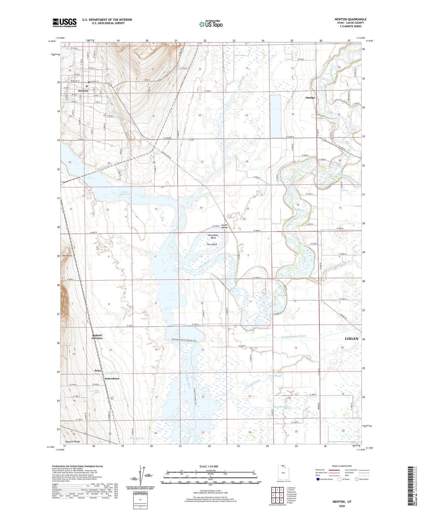
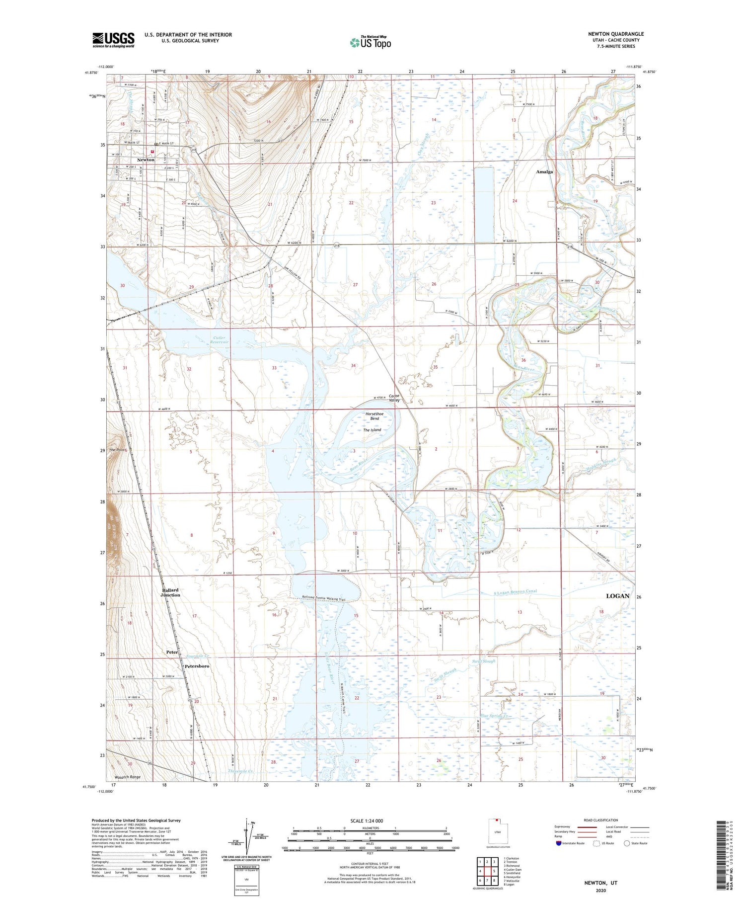
2020 topographic map quadrangle Newton in the state of Utah. Scale: 1:24000. Based on the newly updated USGS 7.5' US Topo map series, this map is in the following counties: Cache. The map contains contour data, water features, and other items you are used to seeing on USGS maps, but also has updated roads and other features. This is the next generation of topographic maps. Printed on high-quality waterproof paper with UV fade-resistant inks.
Quads adjacent to this one:
West: Cutler Dam
Northwest: Clarkston
North: Trenton
Northeast: Richmond
East: Smithfield
Southeast: Logan
South: Wellsville
Southwest: Honeyville
Contains the following named places: Amalga, Ballard Junction, Benson, Benson Marina, Benson School, Blue Spring Creek, Cache Valley, Clay Slough, Cutler Reservoir, Fourmile Creek, Hopkins Slough, Horseshoe Bend, Newton, Newton Creek, Newton Fire Department, Newton Post Office, North Logan Benson Canal, Peter Census Designated Place, Petersboro, Quigley Crossing, Riverside, Smithfield Division, Smithfield Fire and Emergency Medical Services Station 43, South Logan Benson Canal, Summit Creek, Swift Slough, The Barrens, The Church of Jesus Christ of Latter Day Saints, The Island, The Point, Threemile Creek, Town of Amalga, Town of Newton, ZIP Codes: 84304, 84327