MyTopo
Phonolite Hill Utah US Topo Map
Couldn't load pickup availability
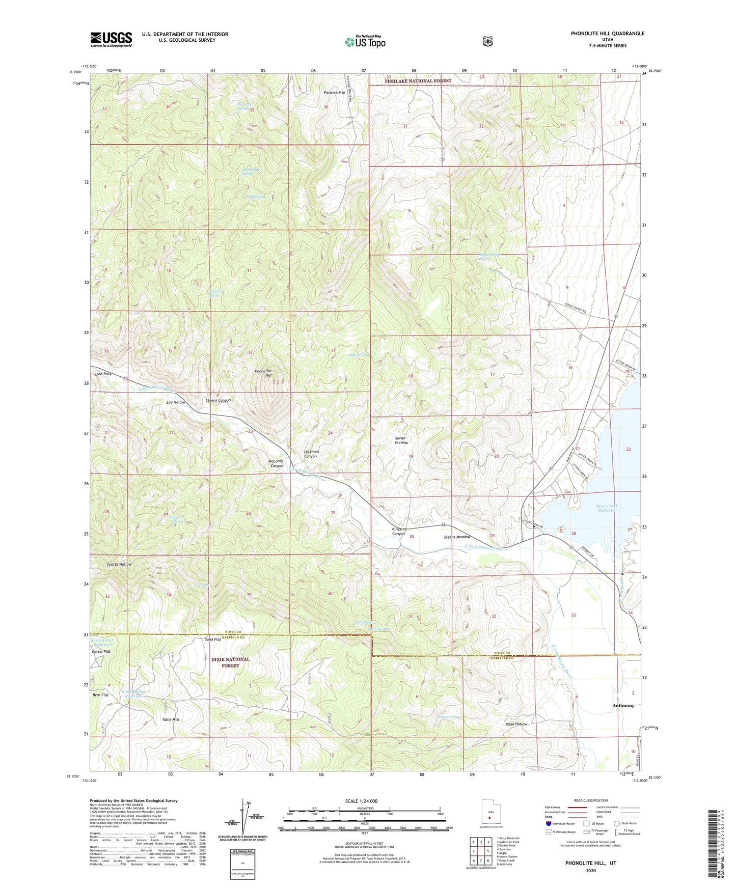
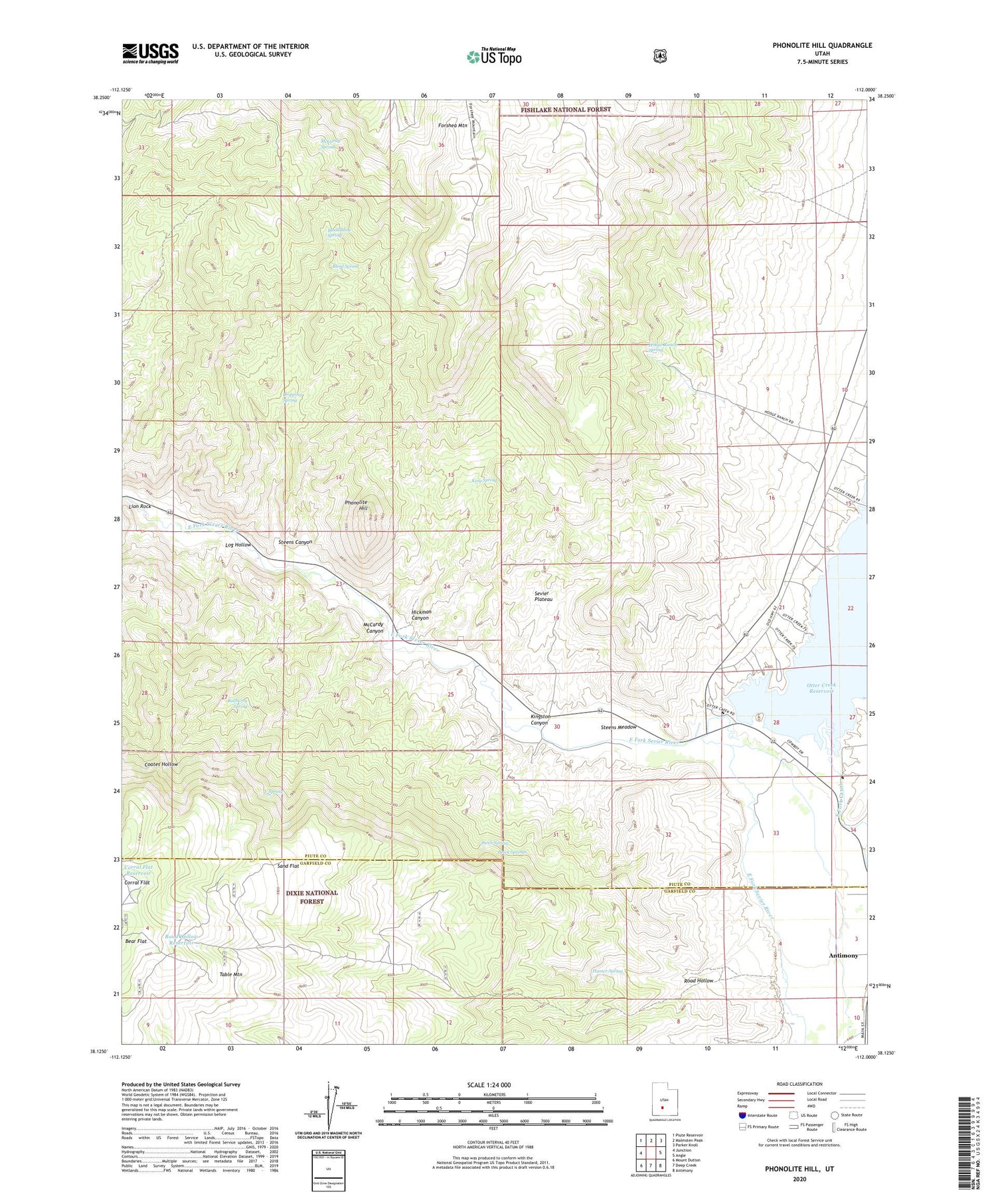
2020 topographic map quadrangle Phonolite Hill in the state of Utah. Scale: 1:24000. Based on the newly updated USGS 7.5' US Topo map series, this map is in the following counties: Piute, Garfield. The map contains contour data, water features, and other items you are used to seeing on USGS maps, but also has updated roads and other features. This is the next generation of topographic maps. Printed on high-quality waterproof paper with UV fade-resistant inks.
Quads adjacent to this one:
West: Junction
Northwest: Piute Reservoir
North: Malmsten Peak
Northeast: Parker Knoll
East: Angle
Southeast: Antimony
South: Deep Creek
Southwest: Mount Dutton
Contains the following named places: Bear Flat, Birch Spring, Black Springs, Blind Spring, Blood Mine Spring, Bullberry Spring, Corral Flat, Corral Flat Reservoir, Dripping Spring, Fishermans Bench Recreation Site, Hickman Canyon, Hodge Ranch Spring, Hunter Spring, King Spring, Lion Rock, Log Hollow, McCardy Canyon, McCardy Spring, Otter Creek Campground, Otter Creek Dam, Otter Creek State Park, Phonolite Hill, Road Hollow, Road Hollow Reservoir, Sams Cabin, Sand Flat, Steens Canyon, Steens Meadow, V Spring