MyTopo
Rill Creek Utah US Topo Map
Couldn't load pickup availability
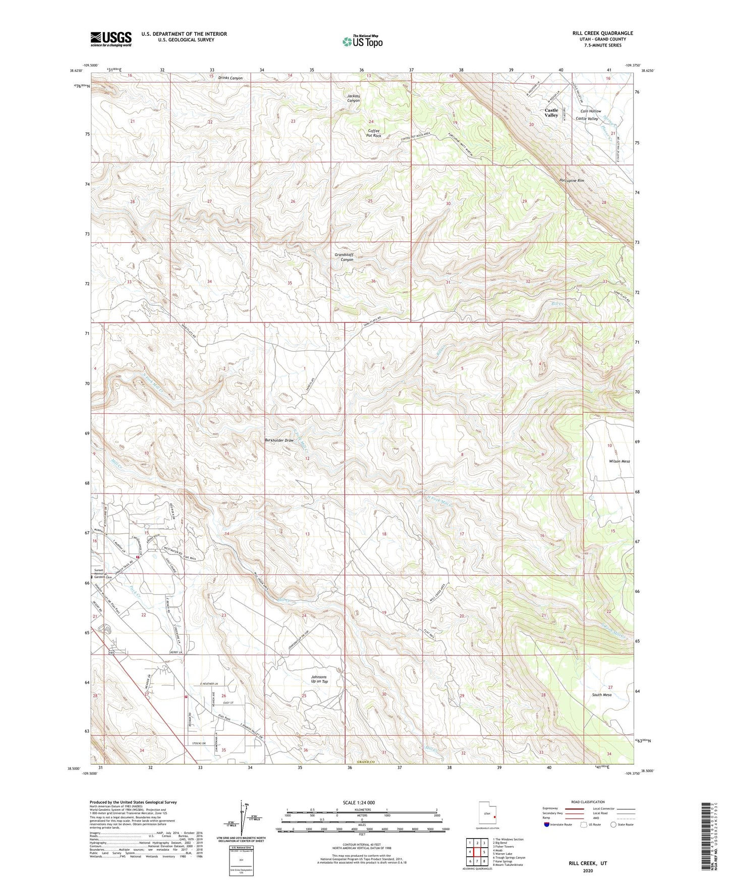
2020 topographic map quadrangle Rill Creek in the state of Utah. Scale: 1:24000. Based on the newly updated USGS 7.5' US Topo map series, this map is in the following counties: Grand. The map contains contour data, water features, and other items you are used to seeing on USGS maps, but also has updated roads and other features. This is the next generation of topographic maps. Printed on high-quality waterproof paper with UV fade-resistant inks.
Quads adjacent to this one:
West: Moab
Northwest: The Windows Section
North: Big Bend
Northeast: Fisher Towers
East: Warner Lake
Southeast: Mount Tukuhnikivatz
South: Kane Springs
Southwest: Trough Springs Canyon
Contains the following named places: Burkholder Draw, Coffee Pot Rock, Johnsons Up on Top, Moab Valley Fire Protection District Station 2, Moab Valley Fire Protection District Station 3, Old City Park, Porcupine Rim, Rill Creek, Spring Creek, Sunset Memorial Gardens Cemetery, Wilson Mesa