MyTopo
Riverside Utah US Topo Map
Couldn't load pickup availability
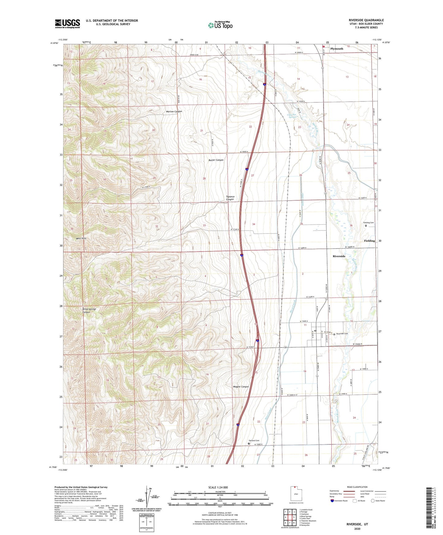
2020 topographic map quadrangle Riverside in the state of Utah. Scale: 1:24000. Based on the newly updated USGS 7.5' US Topo map series, this map is in the following counties: Box Elder. The map contains contour data, water features, and other items you are used to seeing on USGS maps, but also has updated roads and other features. This is the next generation of topographic maps. Printed on high-quality waterproof paper with UV fade-resistant inks.
Quads adjacent to this one:
West: Blind Springs
Northwest: Limekiln Knoll
North: Portage
Northeast: Clarkston
East: Cutler Dam
Southeast: Honeyville
South: Tremonton
Southwest: Thatcher Mountain
Contains the following named places: Belmont Church, Butler Canyon, Fielding Cemetery, Fielding Siding, Garland Cemetery, KMXL-FM (Logan), Landmark Letters Branch, Magpie Canyon, Marlow Canyon, Plymouth Fire Department, Riverside, Riverside Cemetery, Riverside Census Designated Place, Riverside Post Office, Toponce Canyon, Town of Plymouth, Uddy Hot Springs, West Canal, ZIP Codes: 84312, 84334