MyTopo
Tunnel Spring Utah US Topo Map
Couldn't load pickup availability
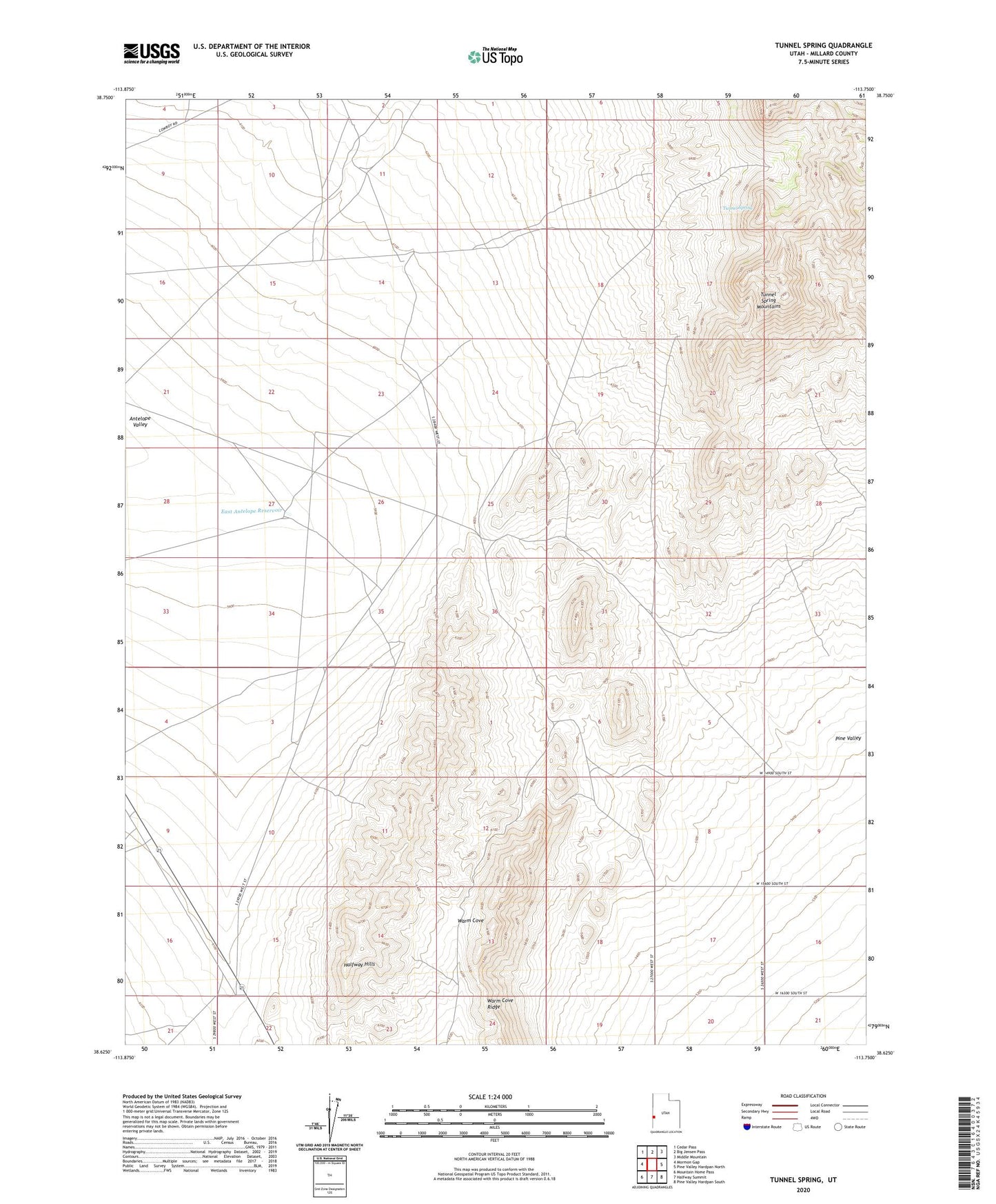
2020 topographic map quadrangle Tunnel Spring in the state of Utah. Scale: 1:24000. Based on the newly updated USGS 7.5' US Topo map series, this map is in the following counties: Millard. The map contains contour data, water features, and other items you are used to seeing on USGS maps, but also has updated roads and other features. This is the next generation of topographic maps. Printed on high-quality waterproof paper with UV fade-resistant inks.
Quads adjacent to this one:
West: Mormon Gap
Northwest: Cedar Pass
North: Big Jensen Pass
Northeast: Middle Mountain
East: Pine Valley Hardpan North
Southeast: Pine Valley Hardpan South
South: Halfway Summit
Southwest: Mountain Home Pass
Contains the following named places: Desert Experimental Range, East Antelope Reservoir, Halfway Hills, Tunnel Spring, Warm Cove Ridge