MyTopo
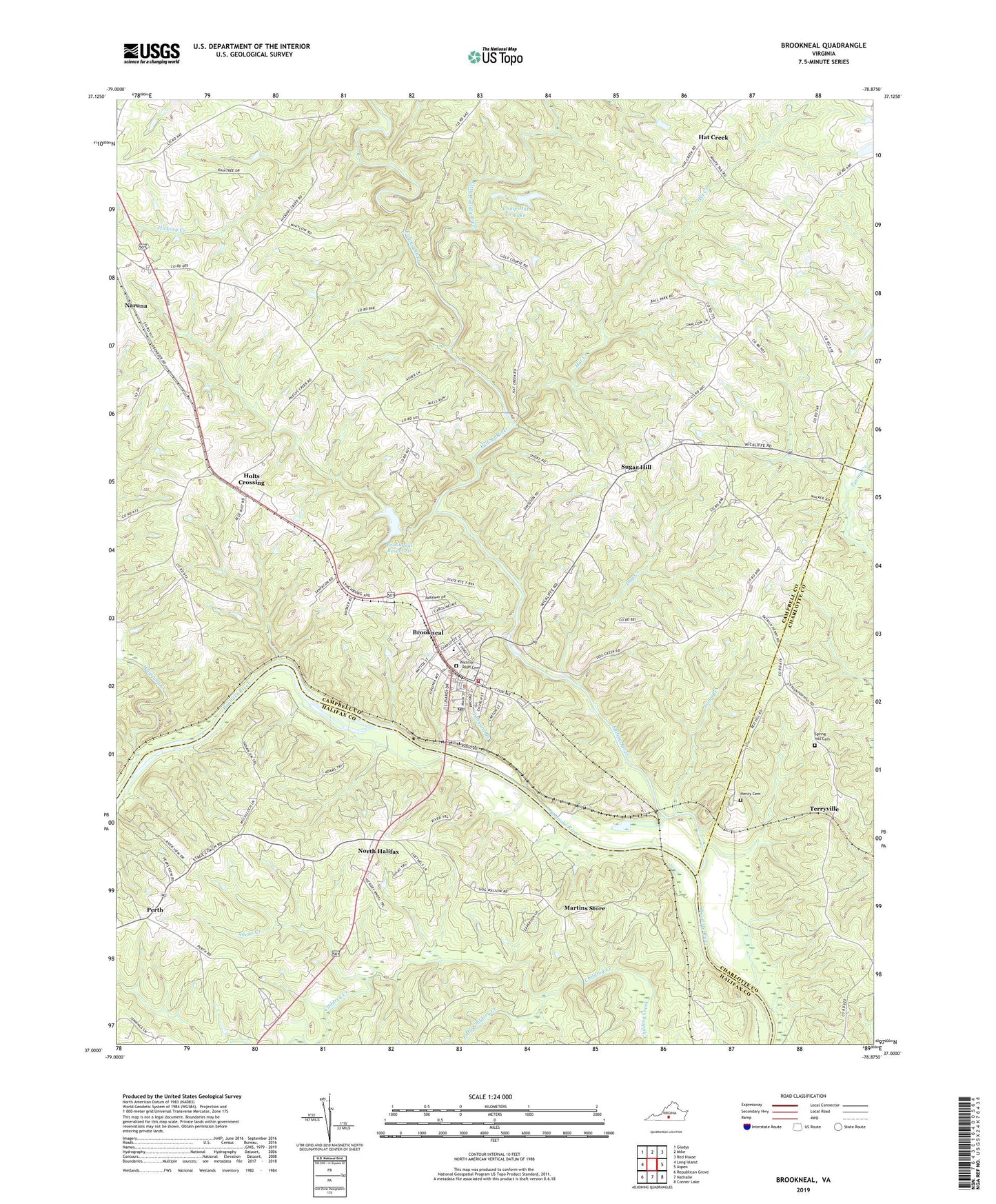
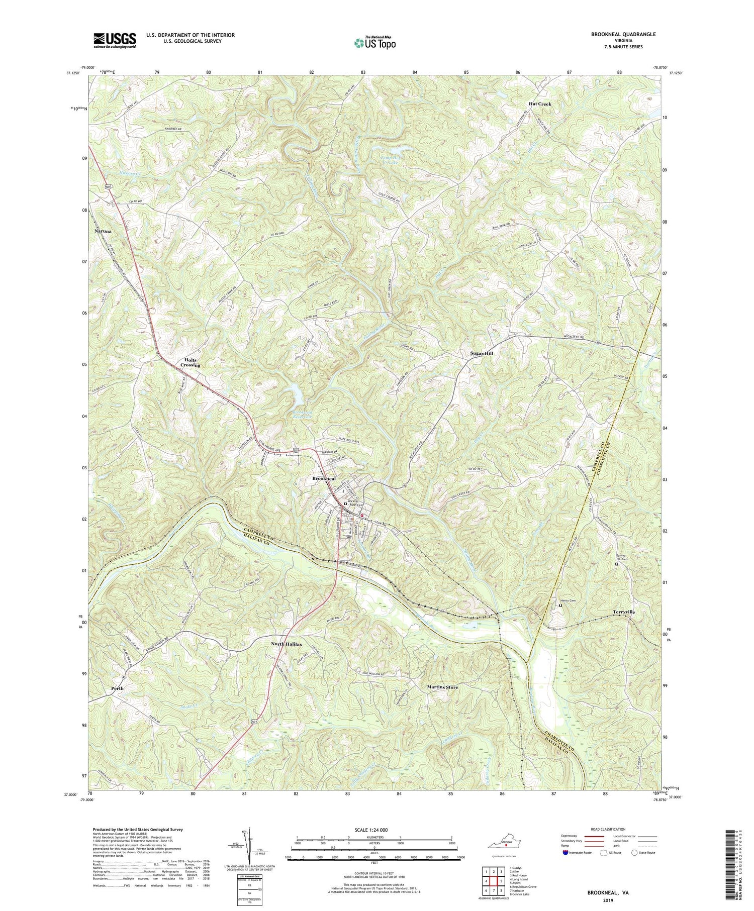
Brookneal Virginia US Topo Map
Couldn't load pickup availability
2019 topographic map quadrangle Brookneal in the state of Virginia. Scale: 1:24000. Based on the newly updated USGS 7.5' US Topo map series, this map is in the following counties: Campbell, Halifax, Charlotte. The map contains contour data, water features, and other items you are used to seeing on USGS maps, but also has updated roads and other features. This is the next generation of topographic maps. Printed on high-quality waterproof paper with UV fade-resistant inks.
Quads adjacent to this one:
West: Long Island
Northwest: Gladys
North: Mike
Northeast: Red House
East: Aspen
Southeast: Conner Lake
South: Nathalie
Southwest: Republican Grove
Contains the following named places: Bates Dam, Beulah Church, Brookneal, Brookneal Dam, Brookneal Elementary School, Brookneal Police Department, Brookneal Post Office, Brookneal Reservoir, Brookneal Volunteer Fire Department, Brookneal Volunteer Rescue Squad, Camp Hat Creek, Camp Hat Creek Dam, Camp Hat Creek Lake, Clarksville Police Department, Dog Creek, Ebenezer Church, Faith Mission Church, Falling River, Falling River Church, Hat Creek, Hat Creek Church, Henry Cemetery, Hickory Creek, Hickory Road School, Holts Crossing, Little Childrey Creek, Little Falling River, Long Branch, Martins Store, Mount Calvary Church, North Halifax, Patrick Henry, Patrick Henry Museum, Patrick Henry National Memorial, Perth, Red Hill, Saint Elizabeth Church, Snake Creek, Spring Hill Cemetery, Spring Hill Church, Sugar Hill, Tanyard Branch, Terryville, Town of Brookneal, West End Church, Whipping Creek, Wickliff - Rush Cemetery, WODI-AM (Brookneal), ZIP Code: 24528