MyTopo
Crescent Harbor Washington US Topo Map
Couldn't load pickup availability
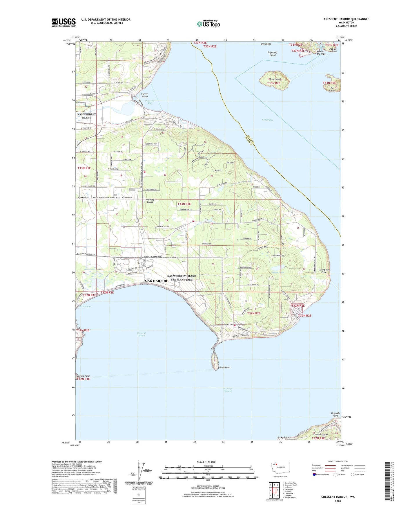
2020 topographic map quadrangle Crescent Harbor in the state of Washington. Scale: 1:24000. Based on the newly updated USGS 7.5' US Topo map series, this map is in the following counties: Island, Skagit. The map contains contour data, water features, and other items you are used to seeing on USGS maps, but also has updated roads and other features. This is the next generation of topographic maps. Printed on high-quality waterproof paper with UV fade-resistant inks.
Quads adjacent to this one:
West: Oak Harbor
Northwest: Deception Pass
North: Anacortes South
Northeast: La Conner
East: Utsalady
Southeast: Juniper Beach
South: Camano
Southwest: Coupeville
Contains the following named places: Boulder Hill Quarry, Clover Valley, Country Place Mobile Home Park, Crescent Harbor, Crescent Harbor Elementary School, Dot Island, Dugualla Bay, Eerkes Spring, Fidalgo Island, Forbes Point, Fort Whitman, Goat Island, Henni Pit, Hole in the Wall, Ika Island, Island County Fire District 2 North Whidbey Fire and Rescue Station 22 Taylor Road, Island County Fire District 2 North Whidbey Fire and Rescue Station 23 Silver Lake Road, Island County Fire District 2 North Whidbey Fire and Rescue Station 24 Polnell, Kalamut Island, Krieg Quarry, Kyle's Pit, Maple Grove Beach, Maple Grove Boat Launch, McGlinn Island, Oak Harbor Wastewater Lagoon Northeast Cell, Oak Harbor Wastewater Lagoon Northwest Cell, Oak Harbor Wastewater Lagoon Southeast Cell, Oak Harbor Wastewater Lagoon Southwest Cell, Polnell Point, Rocky Point, Shepherd Quarry, Silver Lake, Strawberry Point, Sugarloaf Island, Utsalady Point, ZIP Code: 98277