MyTopo
Toutle Washington US Topo Map
Couldn't load pickup availability
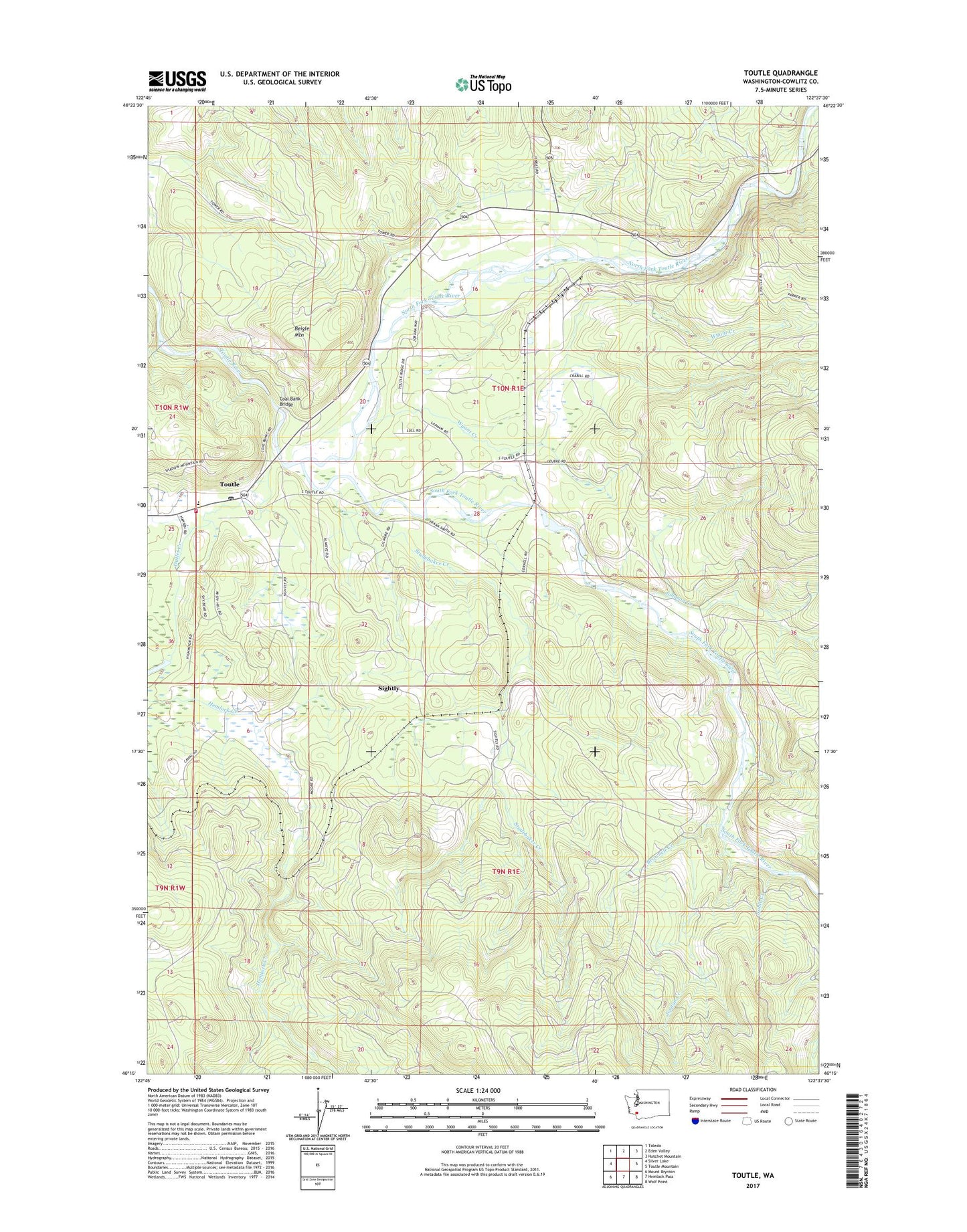
2020 topographic map quadrangle Toutle in the state of Washington. Scale: 1:24000. Based on the newly updated USGS 7.5' US Topo map series, this map is in the following counties: Cowlitz. The map contains contour data, water features, and other items you are used to seeing on USGS maps, but also has updated roads and other features. This is the next generation of topographic maps. Printed on high-quality waterproof paper with UV fade-resistant inks.
Quads adjacent to this one:
West: Silver Lake
Northwest: Toledo
North: Eden Valley
Northeast: Hatchet Mountain
East: Toutle Mountain
Southeast: Wolf Point
South: Hemlock Pass
Southwest: Mount Brynion
Contains the following named places: Beigle Mountain, Brownell Creek, Coal Bank Bridge, Cowlitz County Fire Protection District 3 Main, Hemlock Creek, Johnson Creek, Jordan Creek, Kid Valley Park, Noble Creek, North Fork Toutle River, Outlet Creek, Sightly, Silver Lake Dam, South Fork Toutle Debris Dam, South Fork Toutle River, Studebaker Creek, Toutle, Toutle Lake High School, Toutle Post Office, Wyant Creek