MyTopo
Stanberry East Wisconsin US Topo Map
Couldn't load pickup availability
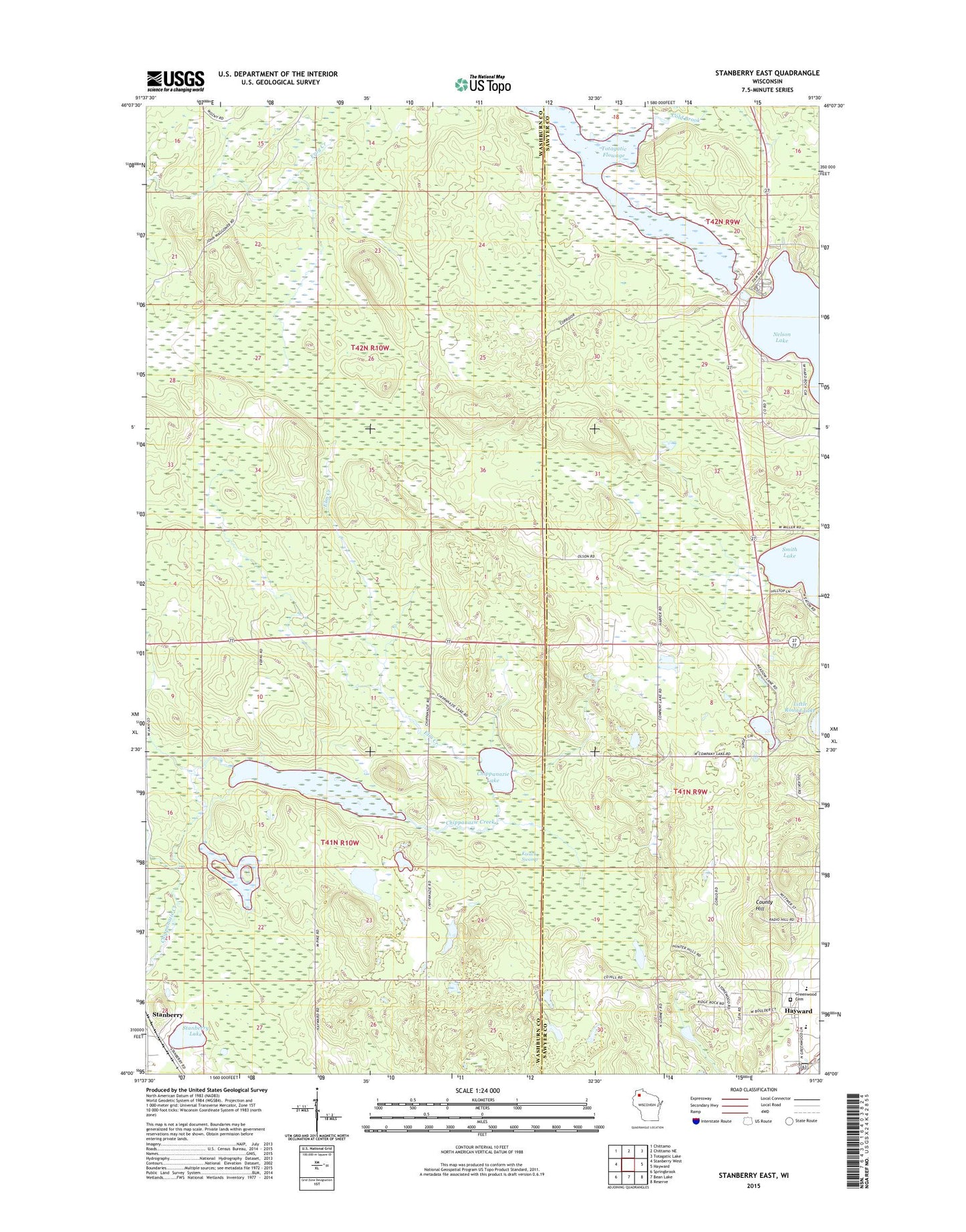
2018 topographic map quadrangle Stanberry East in the state of Wisconsin. Scale: 1:24000. Based on the newly updated USGS 7.5' US Topo map series, this map is in the following counties: Washburn, Sawyer. The map contains contour data, water features, and other items you are used to seeing on USGS maps, but also has updated roads and other features. This is the next generation of topographic maps. Printed on high-quality waterproof paper with UV fade-resistant inks.
Quads adjacent to this one:
West: Stanberry West
Northwest: Chittamo
North: Chittamo NE
Northeast: Totagatic Lake
East: Hayward
Southeast: Reserve
South: Bean Lake
Southwest: Springbrook
Contains the following named places: Chippanazie Lake, Chippanazie School, Cold Brook, County Hill, Elm Creek, Greenwood Cemetery, Hayward High School, Hayward Middle School, Kissick Alkaline Bog Lake State Natural Area, Kissick Swamp, Kissick Swamp State Wildlife Management Area, Nelson Lake 55, Stanberry Lake, Totagatic 2 WP 239 Dam, Totagatic Flowage, Totagatic Highlands Hemlocks State Natural Area, Town of Stinnett, WRLS-FM (Hayward)