MyTopo
Stockton Island Wisconsin US Topo Map
Couldn't load pickup availability
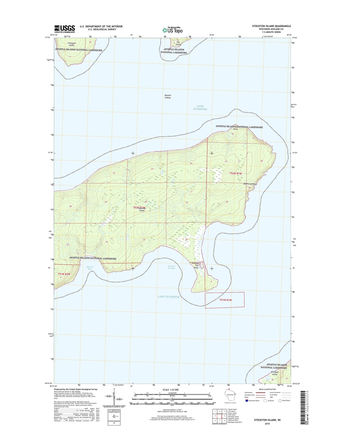
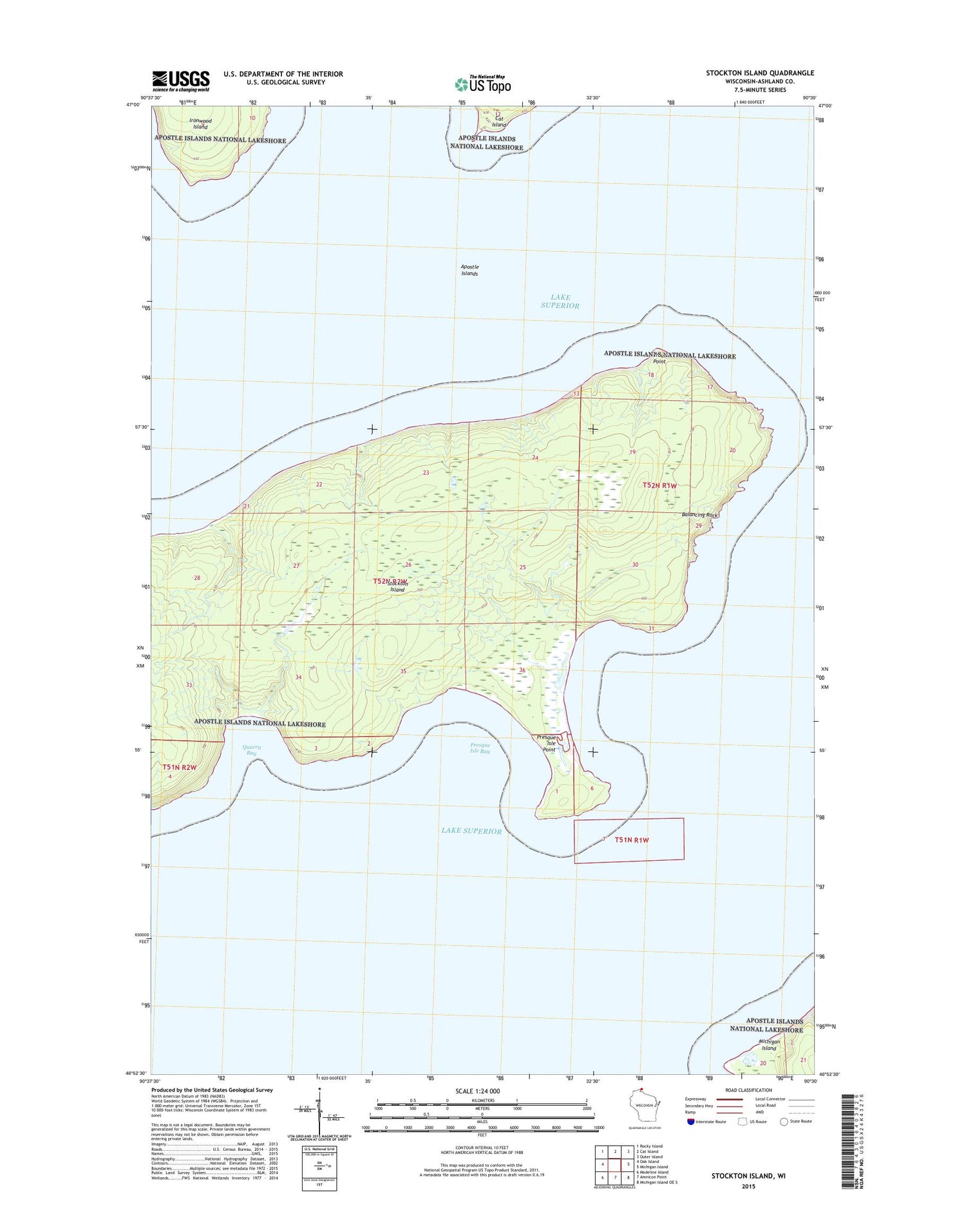
2018 topographic map quadrangle Stockton Island in the state of Wisconsin. Scale: 1:24000. Based on the newly updated USGS 7.5' US Topo map series, this map is in the following counties: Ashland. The map contains contour data, water features, and other items you are used to seeing on USGS maps, but also has updated roads and other features. This is the next generation of topographic maps. Printed on high-quality waterproof paper with UV fade-resistant inks.
Quads adjacent to this one:
West: Oak Island
Northwest: Rocky Island
North: Cat Island
Northeast: Outer Island
East: Michigan Island
Southeast: Michigan Island OE S
South: Amnicon Point
Southwest: Madeline Island
Contains the following named places: Balancing Rock, Gaylord Nelson Wilderness, Presque Isle Bay, Presque Isle Point, Quarry Bay, Stockton Island, Town of La Pointe, Trout Point, ZIP Code: 54850