MyTopo
Granite Wyoming US Topo Map
Couldn't load pickup availability
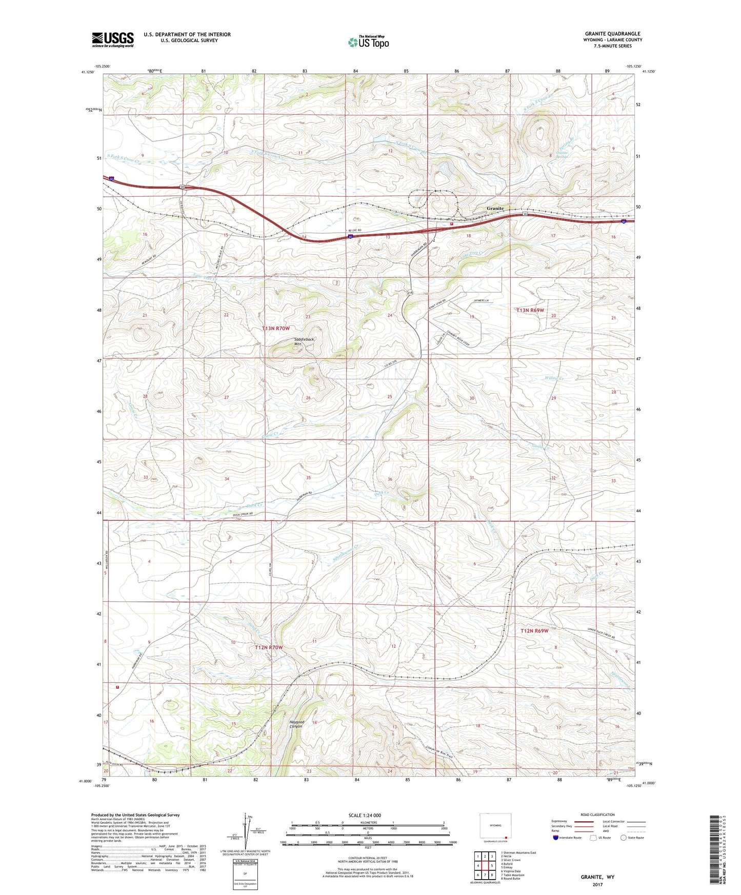
2021 topographic map quadrangle Granite in the state of Wyoming. Scale: 1:24000. Based on the newly updated USGS 7.5' US Topo map series, this map is in the following counties: Laramie. The map contains contour data, water features, and other items you are used to seeing on USGS maps, but also has updated roads and other features. This is the next generation of topographic maps. Printed on high-quality waterproof paper with UV fade-resistant inks.
Quads adjacent to this one:
West: Buford
Northwest: Sherman Mountains East
North: Hecla
Northeast: Silver Crown
East: Emkay
Southeast: Round Butte
South: Table Mountain
Southwest: Virginia Dale
Contains the following named places: Good Hope Mine, Granite, Granite Springs, Harriman, Laramie County Fire District 10 - Granite Canyon Station, Laramie County Fire District 10 Harriman, Lyle Faith Quarry, Saddleback Mountain, Spring Branch, Willadsen School, ZIP Code: 82059