MyTopo
Reno Reservoir Wyoming US Topo Map
Couldn't load pickup availability
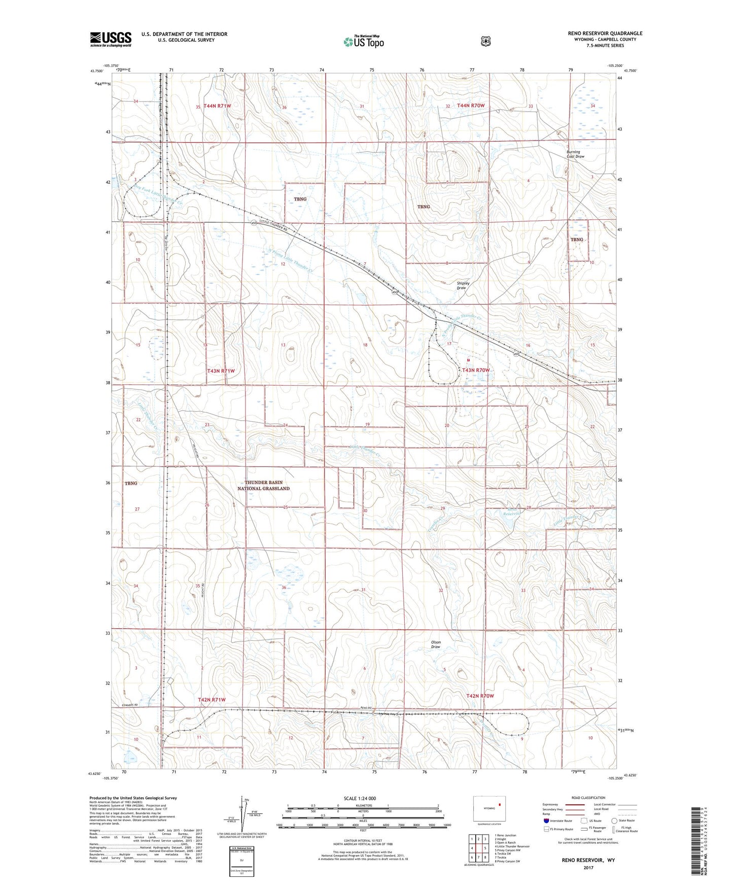
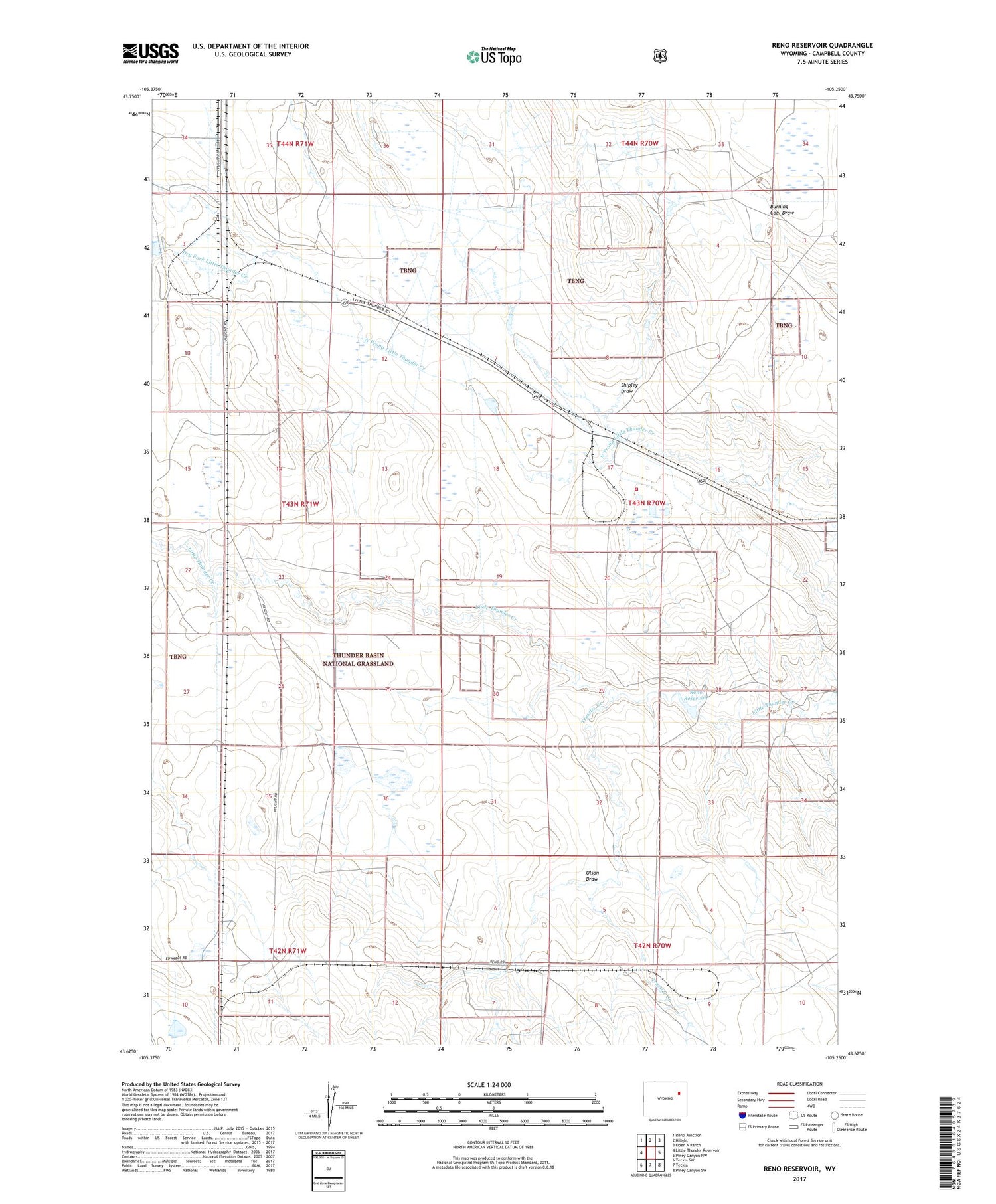
2021 topographic map quadrangle Reno Reservoir in the state of Wyoming. Scale: 1:24000. Based on the newly updated USGS 7.5' US Topo map series, this map is in the following counties: Campbell. The map contains contour data, water features, and other items you are used to seeing on USGS maps, but also has updated roads and other features. This is the next generation of topographic maps. Printed on high-quality waterproof paper with UV fade-resistant inks.
Quads adjacent to this one:
West: Little Thunder Reservoir
Northwest: Reno Junction
North: Hilight
Northeast: Open A Ranch
East: Piney Canyon NW
Southeast: Piney Canyon SW
South: Teckla
Southwest: Teckla SW
Contains the following named places: Black Thunder Mine, Dry Fork Little Thunder Creek, Gopher Pumping Station, Olson Draw, Reno 9-240-1 Dam, Reno 9-240-1 Reservoir, Reno Number 1 Dam, Reno Number 1 Reservoir, Reno Reservoir, Shipley Draw, Stuart Reservoir, Thunder Basin Coal Company - Black Thunder Mine Fire Department, Trussler Creek