MyTopo
Shoshone Canyon Wyoming US Topo Map
Couldn't load pickup availability
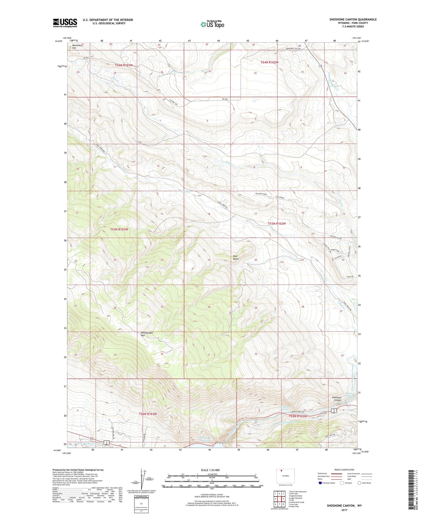
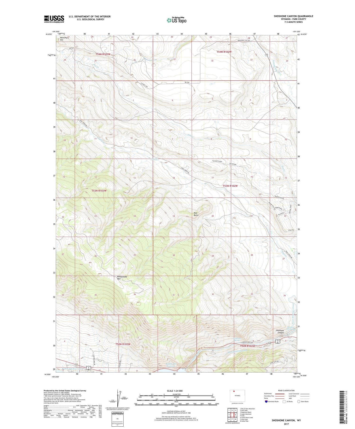
2021 topographic map quadrangle Shoshone Canyon in the state of Wyoming. Scale: 1:24000. Based on the newly updated USGS 7.5' US Topo map series, this map is in the following counties: Park. The map contains contour data, water features, and other items you are used to seeing on USGS maps, but also has updated roads and other features. This is the next generation of topographic maps. Printed on high-quality waterproof paper with UV fade-resistant inks.
Quads adjacent to this one:
West: Logan Mountain
North: Goff Lake
Northeast: Eaglenest Basin
East: Cody
Southeast: Indian Pass
South: Irma Flats
Southwest: Castle Rock Creek
Contains the following named places: Buffalo Bill Dam, Lundvall Ranch, Monument Hill, Needle Hot Springs, Red Butte, Red Butte Mine, Shoshone Canyon, Shoshone Canyon Mine, Shoshone Hot Springs, Stafford Ranch