MyTopo
Tin Can Lake Wyoming US Topo Map
Couldn't load pickup availability
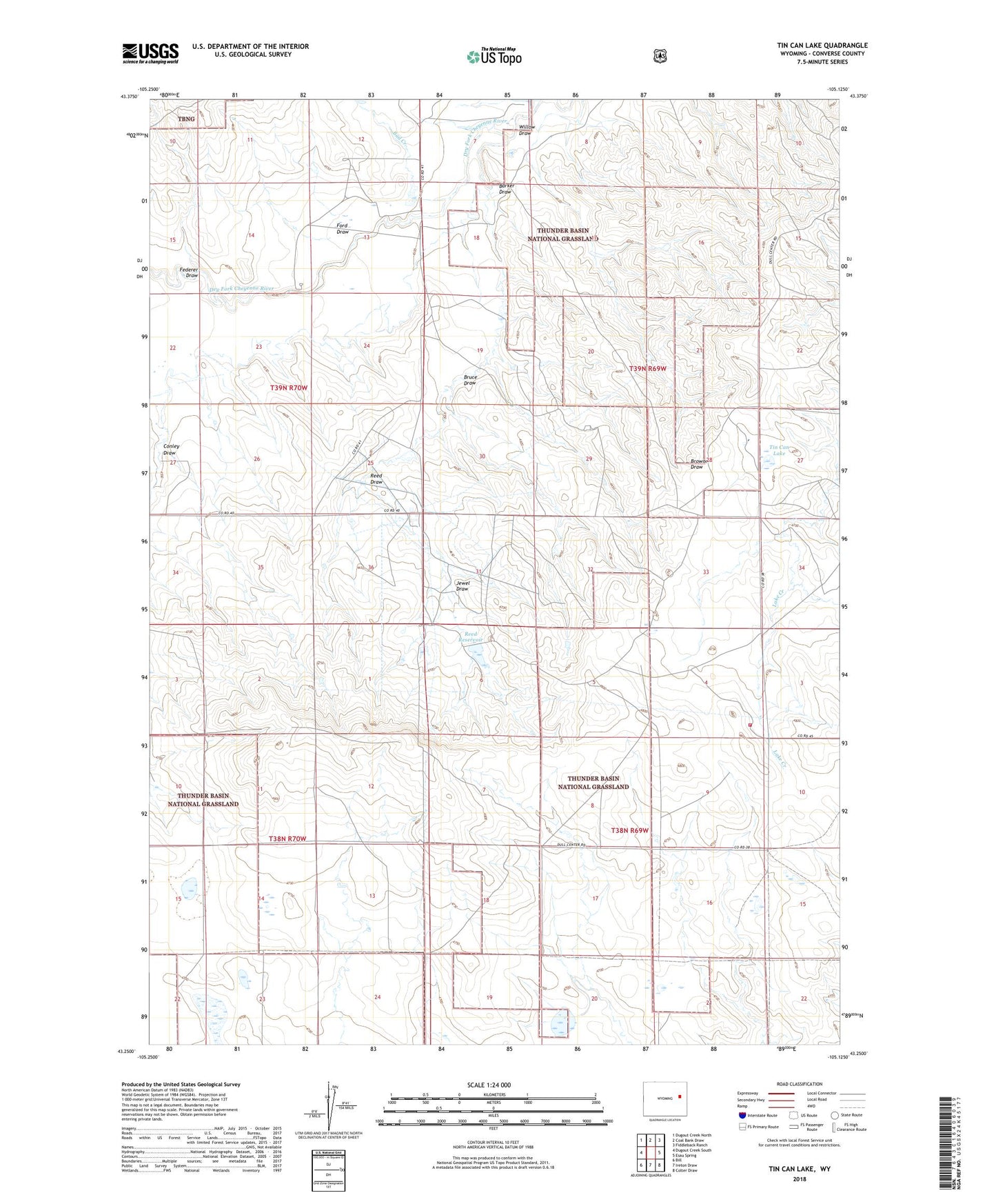
2021 topographic map quadrangle Tin Can Lake in the state of Wyoming. Scale: 1:24000. Based on the newly updated USGS 7.5' US Topo map series, this map is in the following counties: Converse. The map contains contour data, water features, and other items you are used to seeing on USGS maps, but also has updated roads and other features. This is the next generation of topographic maps. Printed on high-quality waterproof paper with UV fade-resistant inks.
Quads adjacent to this one:
West: Dugout Creek South
Northwest: Dugout Creek North
North: Coal Bank Draw
Northeast: Fiddleback Ranch
East: Esau Spring
Southeast: Colter Draw
South: Ireton Draw
Southwest: Bill
Contains the following named places: Bad Creek, Barker Draw, Browner Draw, Bruce Draw, Conley Draw, Converse County Rural Fire Control Association, Federer Draw, Ford Draw, Jewel Draw, Pellatz Ranch, Reed Dam, Reed Draw, Reed Ranch, Reed Reservoir, Sunshine Valley Ranch, Tin Can Lake, Willow Draw