MyTopo
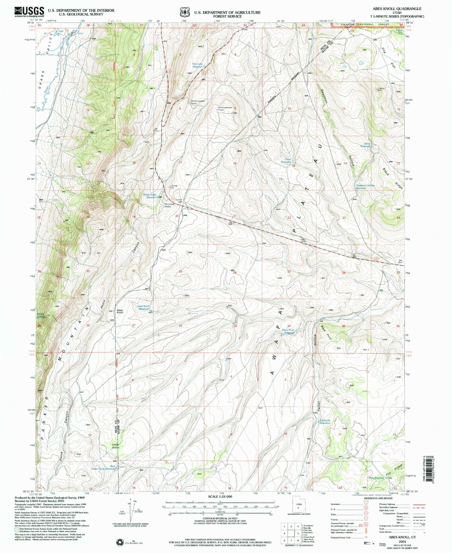
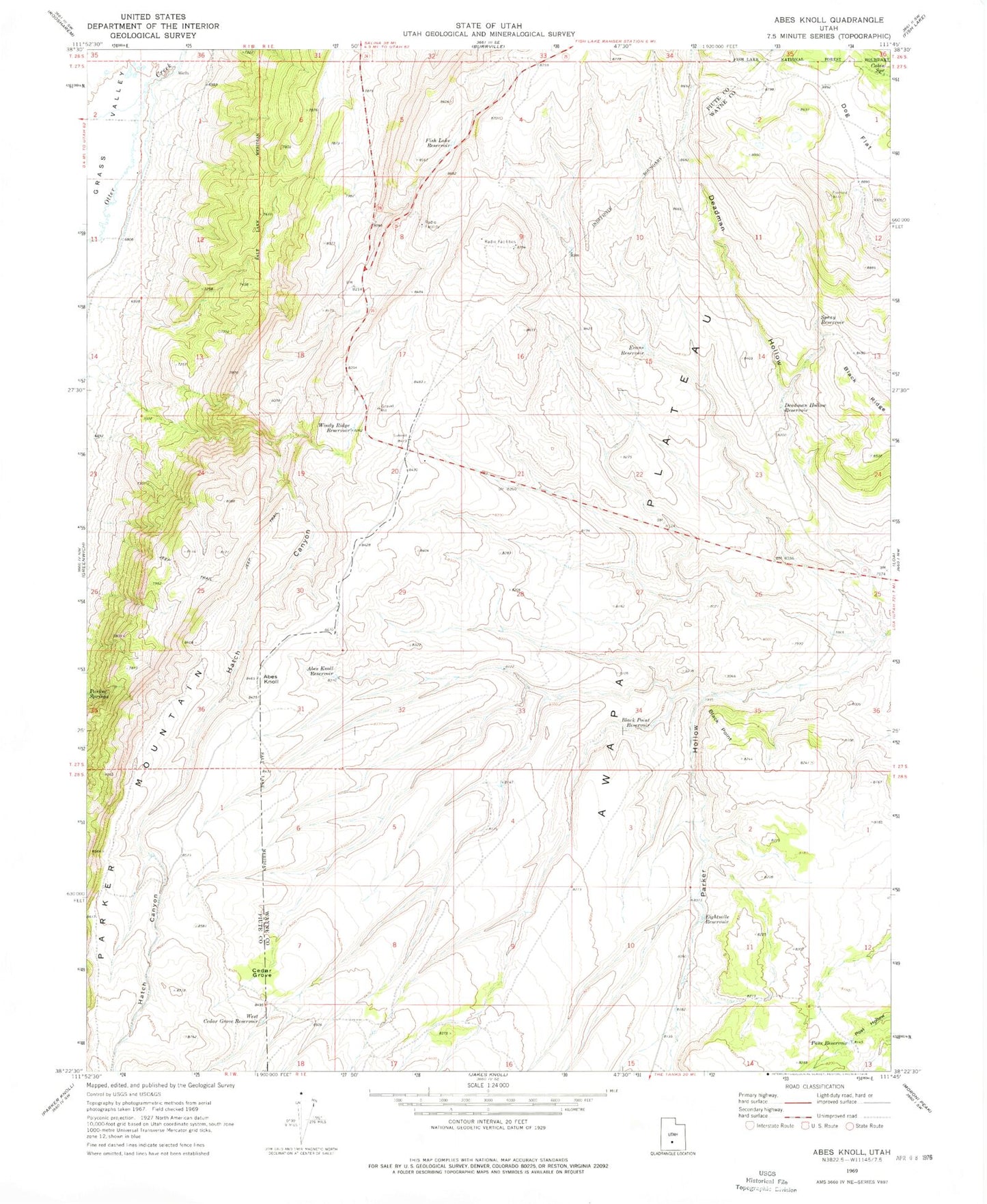
Classic USGS Abes Knoll Utah 7.5'x7.5' Topo Map
Couldn't load pickup availability
Historical USGS topographic quad map of Abes Knoll in the state of Utah. Map scale may vary for some years, but is generally around 1:24,000. Print size is approximately 24" x 27"
This quadrangle is in the following counties: Piute, Wayne.
The map contains contour lines, roads, rivers, towns, and lakes. Printed on high-quality waterproof paper with UV fade-resistant inks, and shipped rolled.
Contains the following named places: Abes Knoll, Abes Knoll Reservoir, Black Point, Black Point Reservoir, Cabin Spring, Cedar Grove, Deadman Hollow, Deadman Hollow Reservoir, Dog Flat, Eightmile Reservoir, Evans Reservoir, Fish Lake Reservoir, Hatch Canyon, Parker Hollow, Pass Reservoir, Spray Reservoir, West Cedar Grove Reservoir, Windy Ridge Reservoir