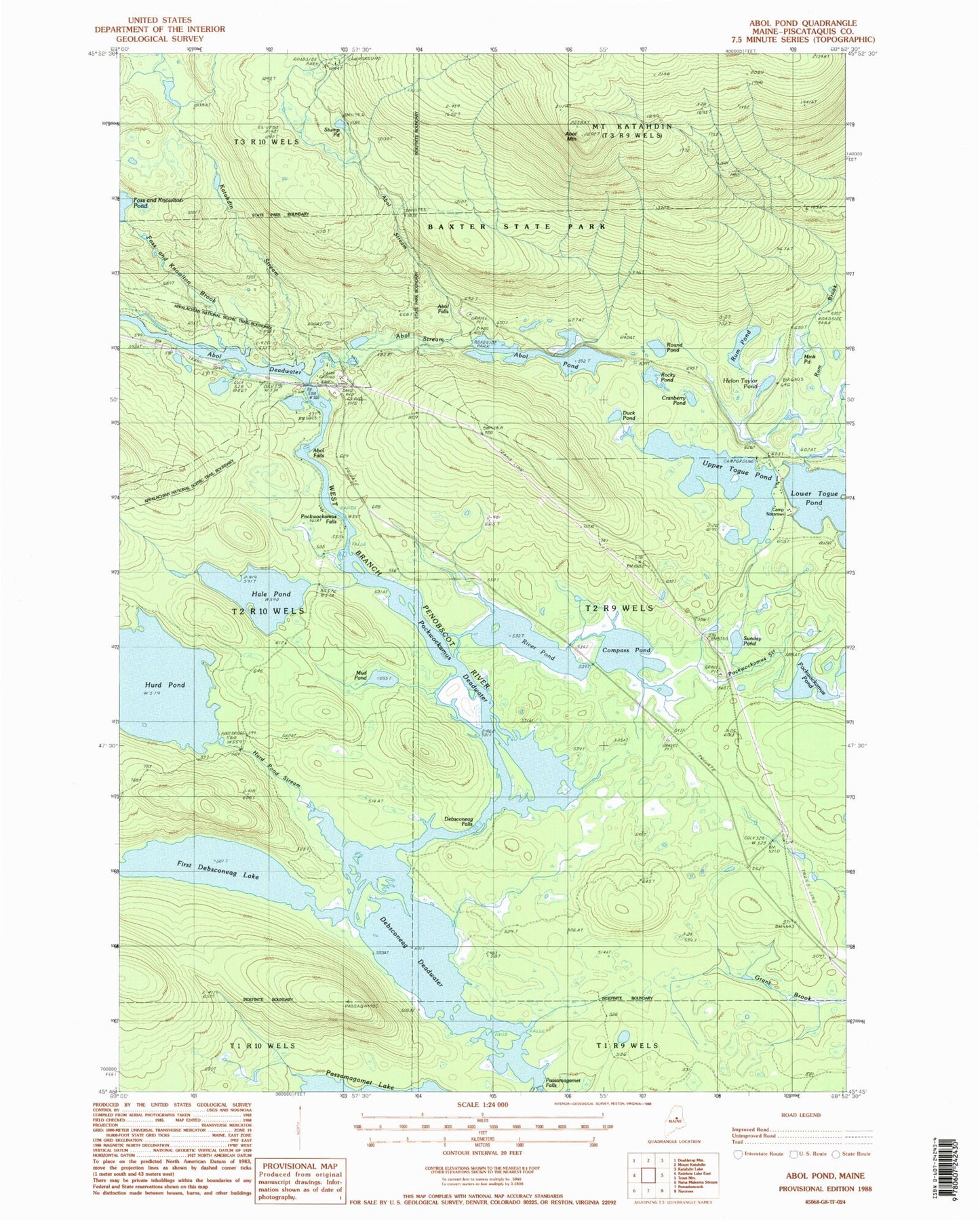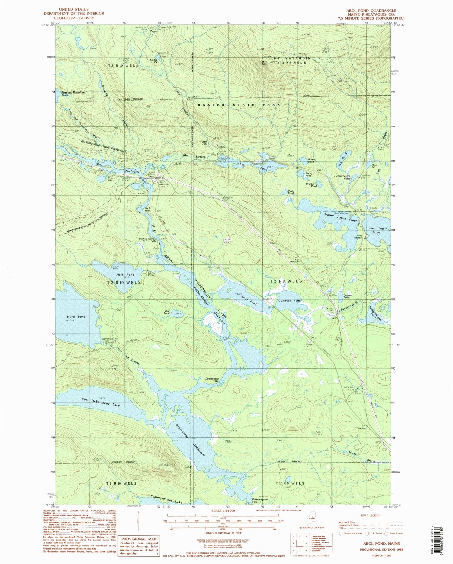
MyTopo
Classic USGS Abol Pond Maine 7.5'x7.5' Topo Map
Couldn't load pickup availability
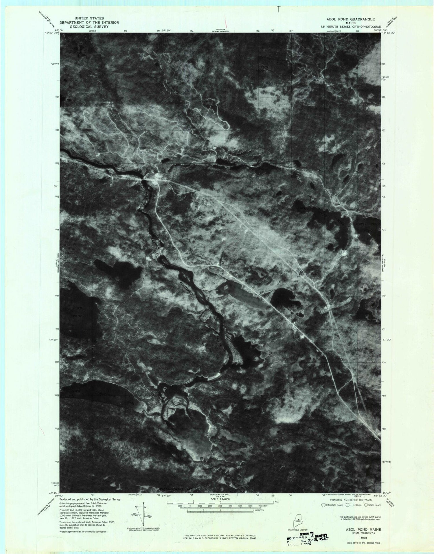
Historical USGS topographic quad map of Abol Pond in the state of Maine. Typical map scale is 1:24,000, but may vary for certain years, if available. Print size: 24" x 27"
This quadrangle is in the following counties: Piscataquis.
The map contains contour lines, roads, rivers, towns, and lakes. Printed on high-quality waterproof paper with UV fade-resistant inks, and shipped rolled.
Contains the following named places: Abol Campsite, Abol Deadwater, Abol Falls, Abol Mountain, Abol Pond, Abol Stream, Compass Pond, Cranberry Pond, Debsconeag Deadwater, Debsconeag Falls, Duck Pond, First Debsconeag Lake, Foss and Knowlton Brook, Hale Pond, Hurd Pond, Hurd Pond Stream, Joe Francis Camp, Katahdin Stream, Mink Pond, Mud Pond, Pockwockamus Deadwater, Pockwockamus Falls, Pockwockamus Pond, Pockwockamus Stream, Helon Taylor Pond, River Pond, Rocky Pond, Round Pond, Rum Brook, Rum Brook Campsite, Rum Pond, Sunday Pond, Togue Pond Camp, Upper Togue Pond, Camp Natarswi, Togue Pond Campsite, T2 R9 WELS