
MyTopo
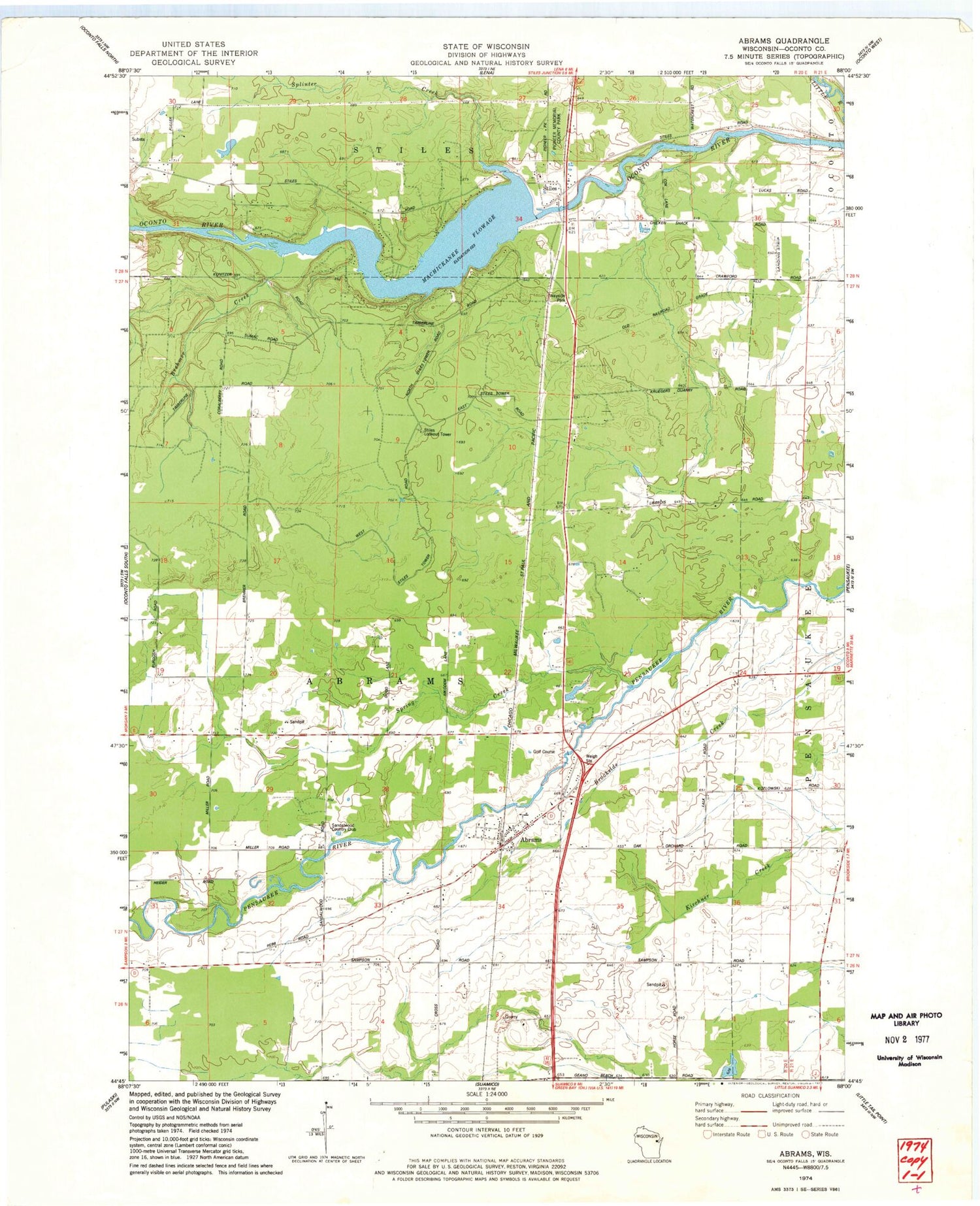
Classic USGS Abrams Wisconsin 7.5'x7.5' Topo Map
Couldn't load pickup availability
Historical USGS topographic quad map of Abrams in the state of Wisconsin. Map scale may vary for some years, but is generally around 1:24,000. Print size is approximately 24" x 27"
This quadrangle is in the following counties: Oconto.
The map contains contour lines, roads, rivers, towns, and lakes. Printed on high-quality waterproof paper with UV fade-resistant inks, and shipped rolled.
Contains the following named places: Abrams, Abrams Census Designated Place, Abrams Elementary School, Abrams Fire Department, Abrams Post Office, Brehmer Creek, Cain's Field, Machickanee Flowage, Machickanee Flowage 770, Pioneer Memorial County Park, Sandalwood Country Club, Splinter Creek, Spring Creek, Stiles, Stiles 2WP550 Dam, Stiles Lookout Tower, Town of Abrams, ZIP Code: 54101


