MyTopo
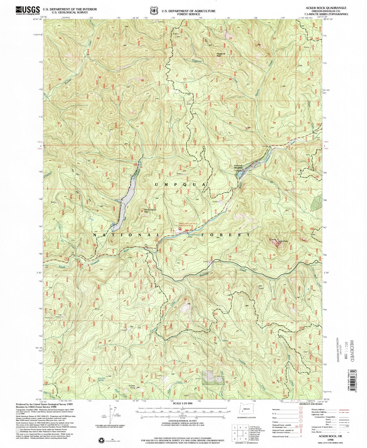
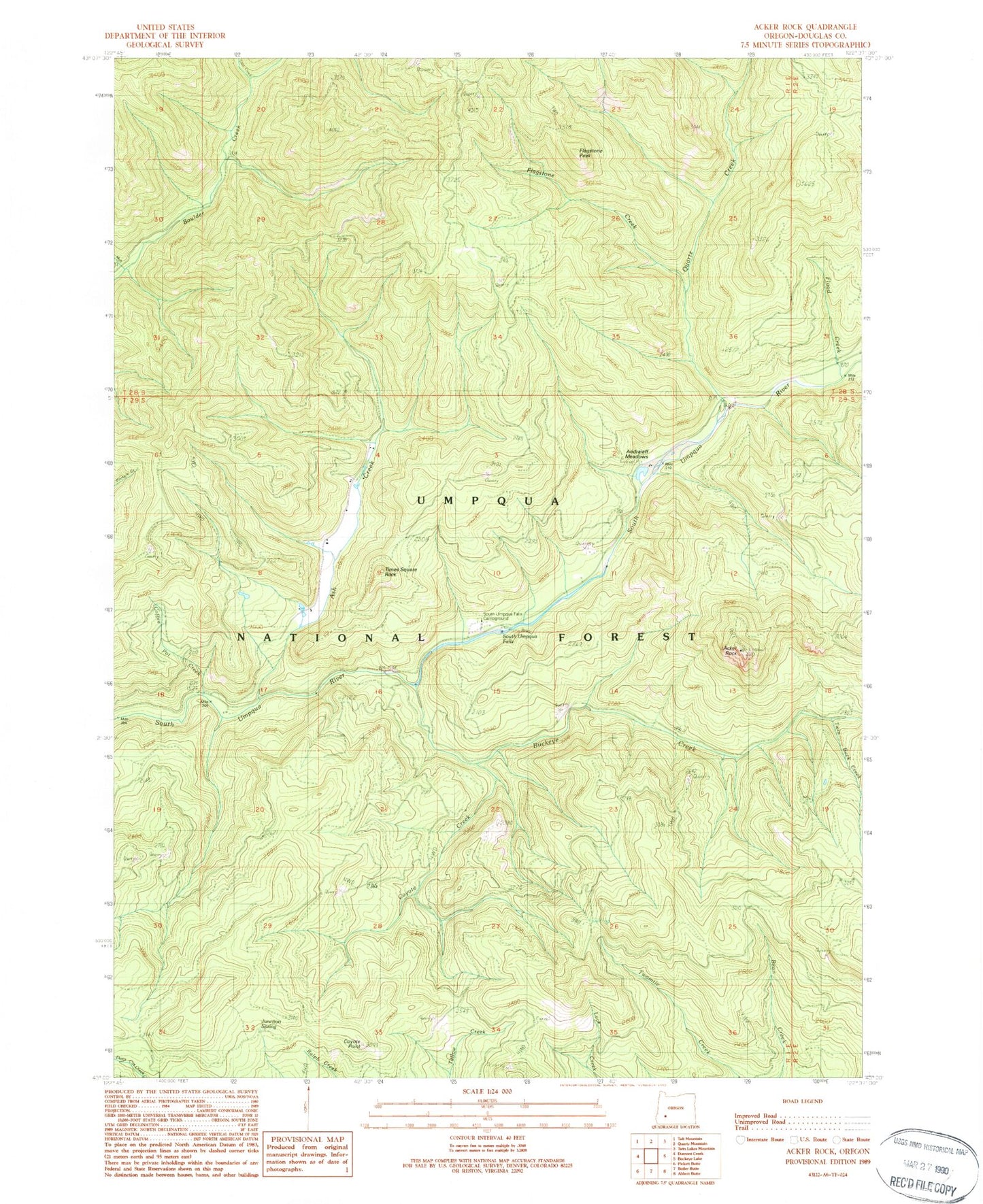
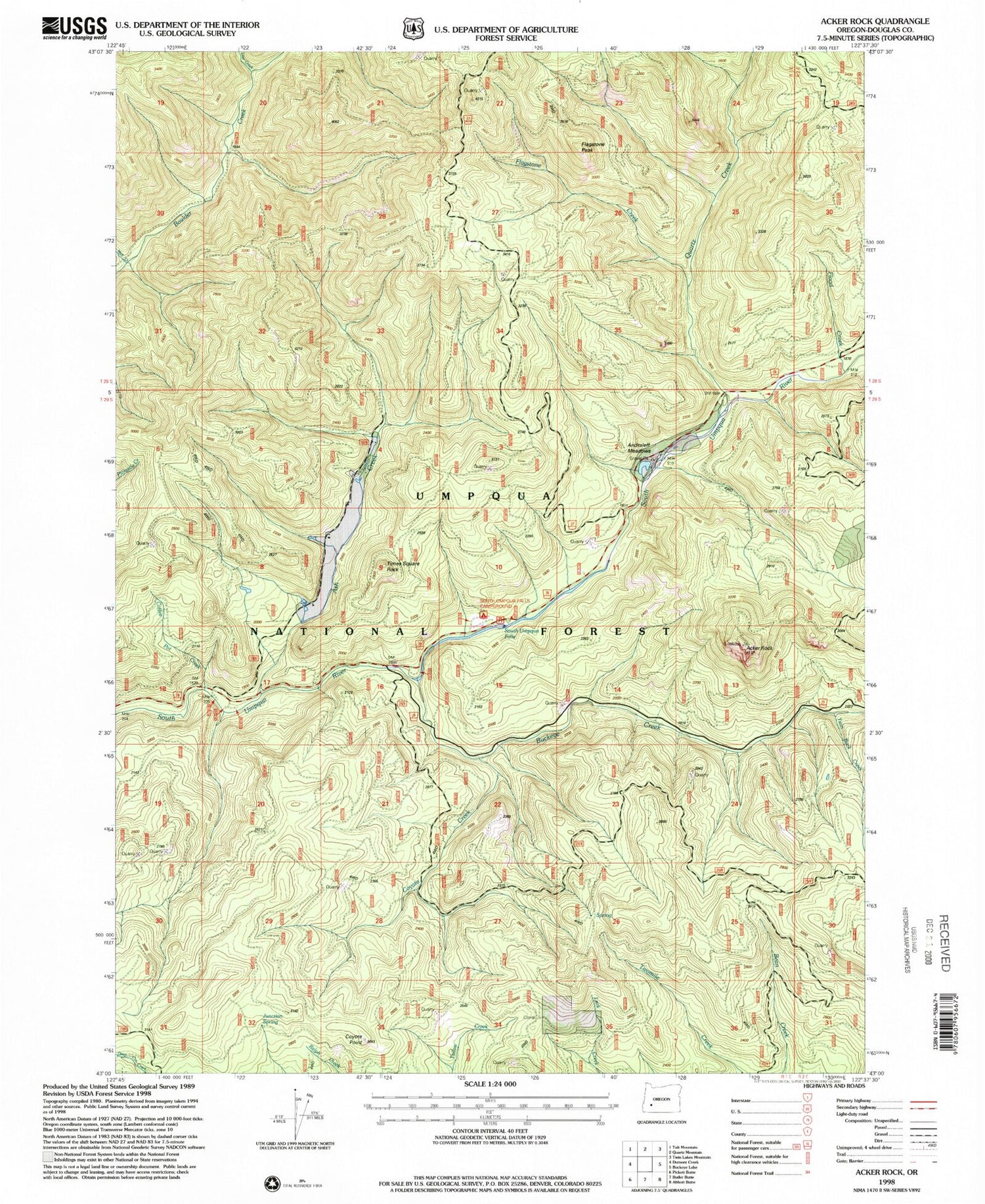
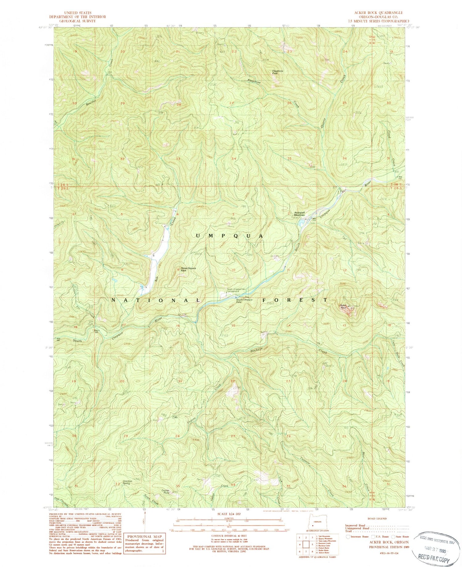
Classic USGS Acker Rock Oregon 7.5'x7.5' Topo Map
Couldn't load pickup availability
Historical USGS topographic quad map of Acker Rock in the state of Oregon. Map scale may vary for some years, but is generally around 1:24,000. Print size is approximately 24" x 27"
This quadrangle is in the following counties: Douglas.
The map contains contour lines, roads, rivers, towns, and lakes. Printed on high-quality waterproof paper with UV fade-resistant inks, and shipped rolled.
Contains the following named places: Acker Rock, Andraieff Meadows, Ash Creek, Buckeye Creek, Camp Coffee Pot, Camp Vena, Coffeepot Creek, Coyote Creek, Coyote Point, Erlebach Ranch, Flagstone Creek, Flagstone Peak, Flood Creek, Junction Spring, Last Camp, Last Creek, Quartz Creek, Skookum Chuck Camp, Skookum Creek Camp, South Umpqua Experimental Forest, South Umpqua Falls, South Umpqua Guard Station, Times Square Rock, Twin Buck Creek, Twinbuck Camp