MyTopo
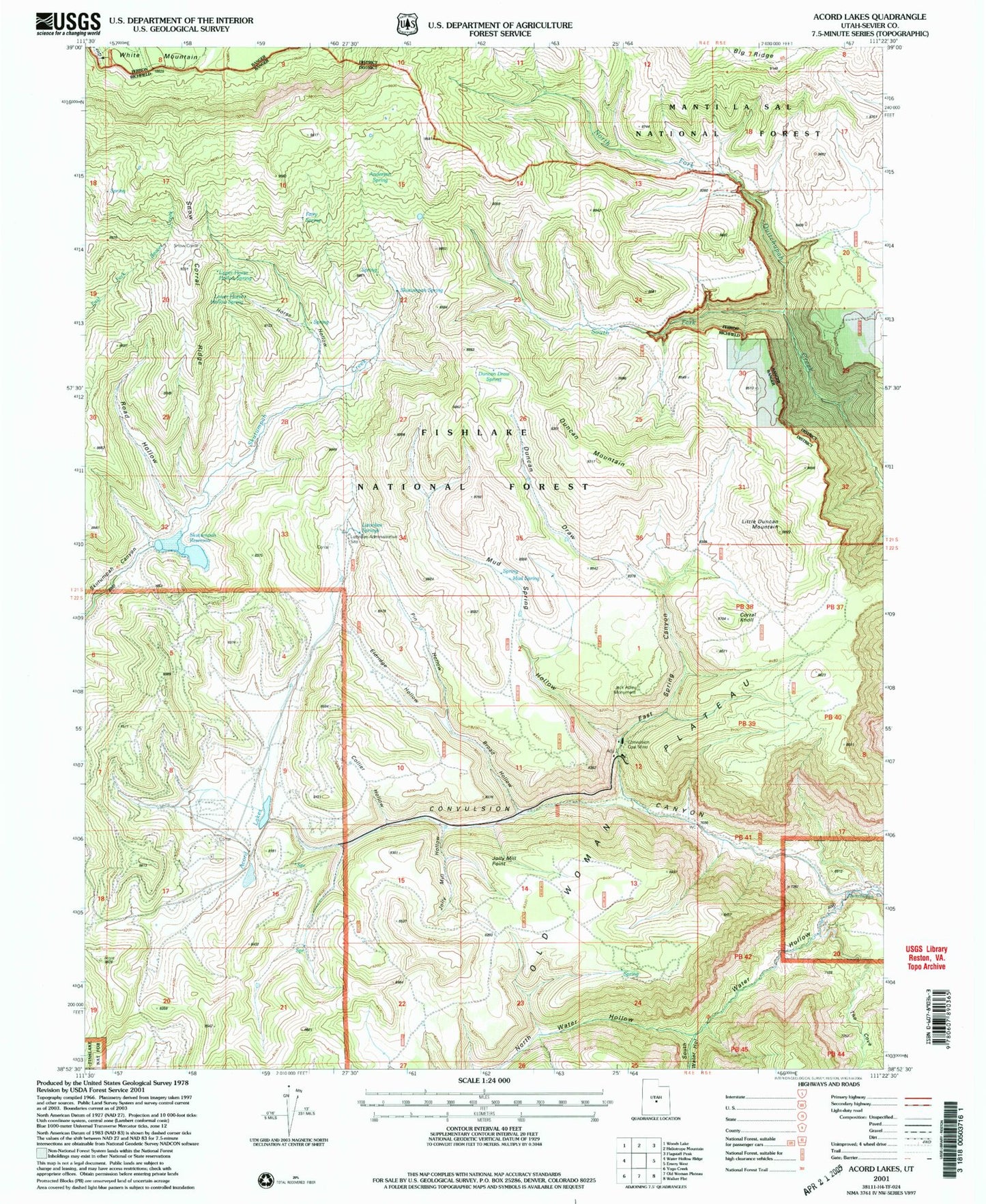
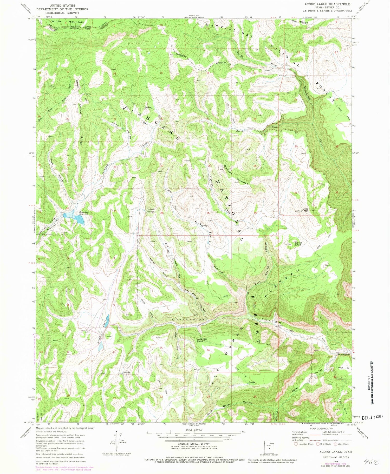
Classic USGS Acord Lakes Utah 7.5'x7.5' Topo Map
Couldn't load pickup availability
Historical USGS topographic quad map of Acord Lakes in the state of Utah. Map scale may vary for some years, but is generally around 1:24,000. Print size is approximately 24" x 27"
This quadrangle is in the following counties: Sevier.
The map contains contour lines, roads, rivers, towns, and lakes. Printed on high-quality waterproof paper with UV fade-resistant inks, and shipped rolled.
Contains the following named places: Acord Lakes, Anderson Spring, Big Ridge, Broad Hollow, Collier Hollow, Convulsion Canyon, Convulsion Coal Mine, Corral Knoll, Duncan Draw, Duncan Draw Spring, Duncan Mountain, East Spring Canyon, Eldridge Hollow, Fairy Spring, Horse Hollow, Jack Adley Monument, Jolly Mill Hollow, Jolly Mill Point, Little Duncan Mountain, Lizonbee Administrative Site, Lizonbee Springs, Lower Horse Hollow Spring, Lunds Cabin, Mud Spring, Mud Spring Hollow, North Water Hollow, Pin Hollow, Road Hollow, Skutumpah Dam, Skutumpah Reservoir, Skutumpah Spring, Snow Corral Ridge, South Fork North Fork Quitchupah Creek, South Water Hollow, The Cove, Upper Horse Hollow Spring, Water Hollow, White Mountain