MyTopo
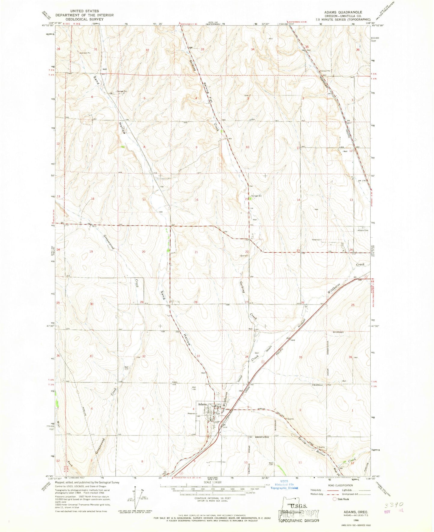
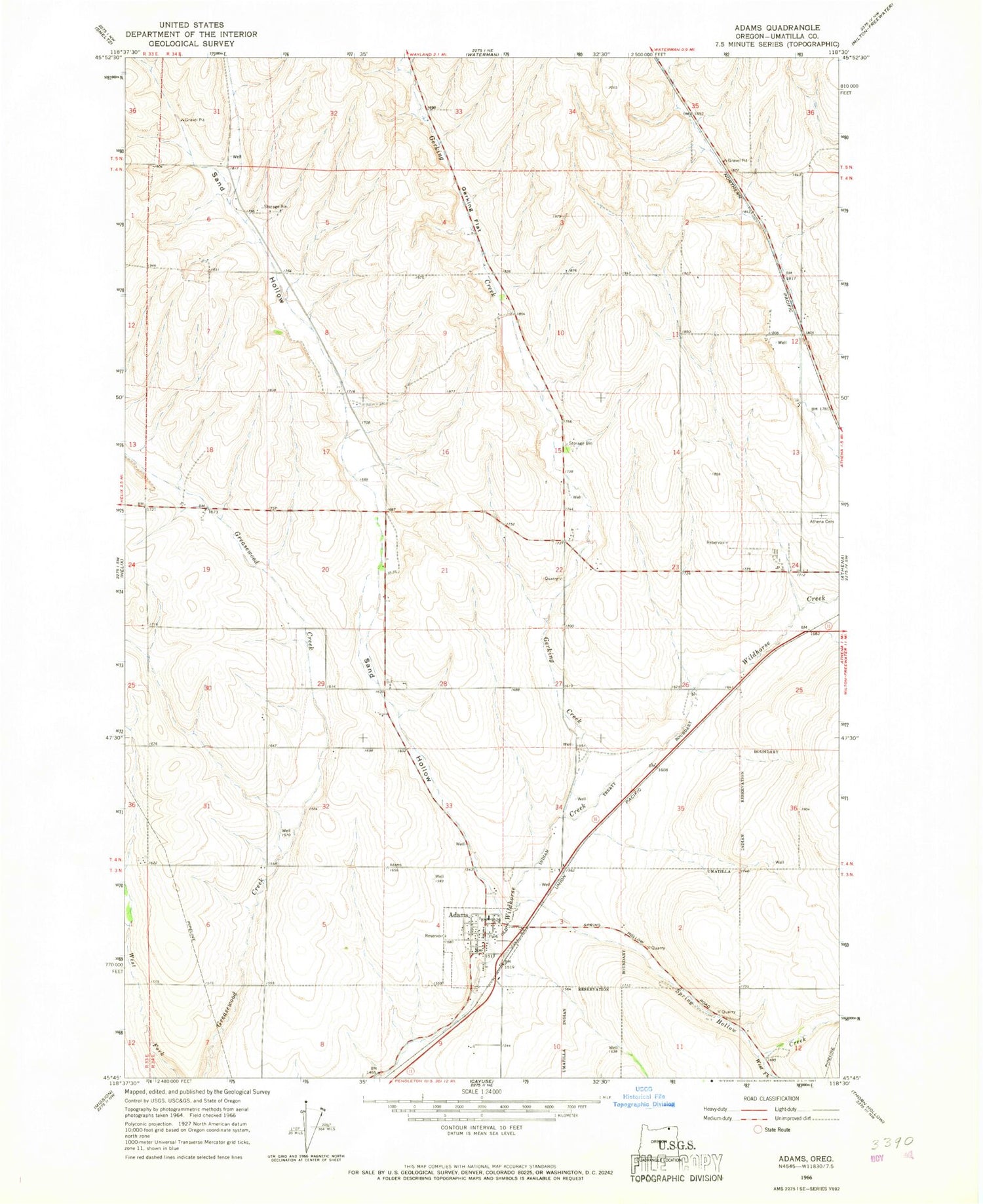
Classic USGS Adams Oregon 7.5'x7.5' Topo Map
Couldn't load pickup availability
Historical USGS topographic quad map of Adams in the state of Oregon. Map scale may vary for some years, but is generally around 1:24,000. Print size is approximately 24" x 27"
This quadrangle is in the following counties: Umatilla.
The map contains contour lines, roads, rivers, towns, and lakes. Printed on high-quality waterproof paper with UV fade-resistant inks, and shipped rolled.
Contains the following named places: Adam Public Works Department, Adams, Adams City Hall, Adams City Park, Adams Post Office, Adams Public Library, Athena Cemetery, City of Adams, Davis Airstrip, East Umatilla County Rural Fire Protection District Station 2, Gerking Creek, Gerking Flat, Sand Hollow, Spring Hollow Creek, Waterman Gulch, West Fork Spring Hollow Creek, ZIP Code: 97813