MyTopo
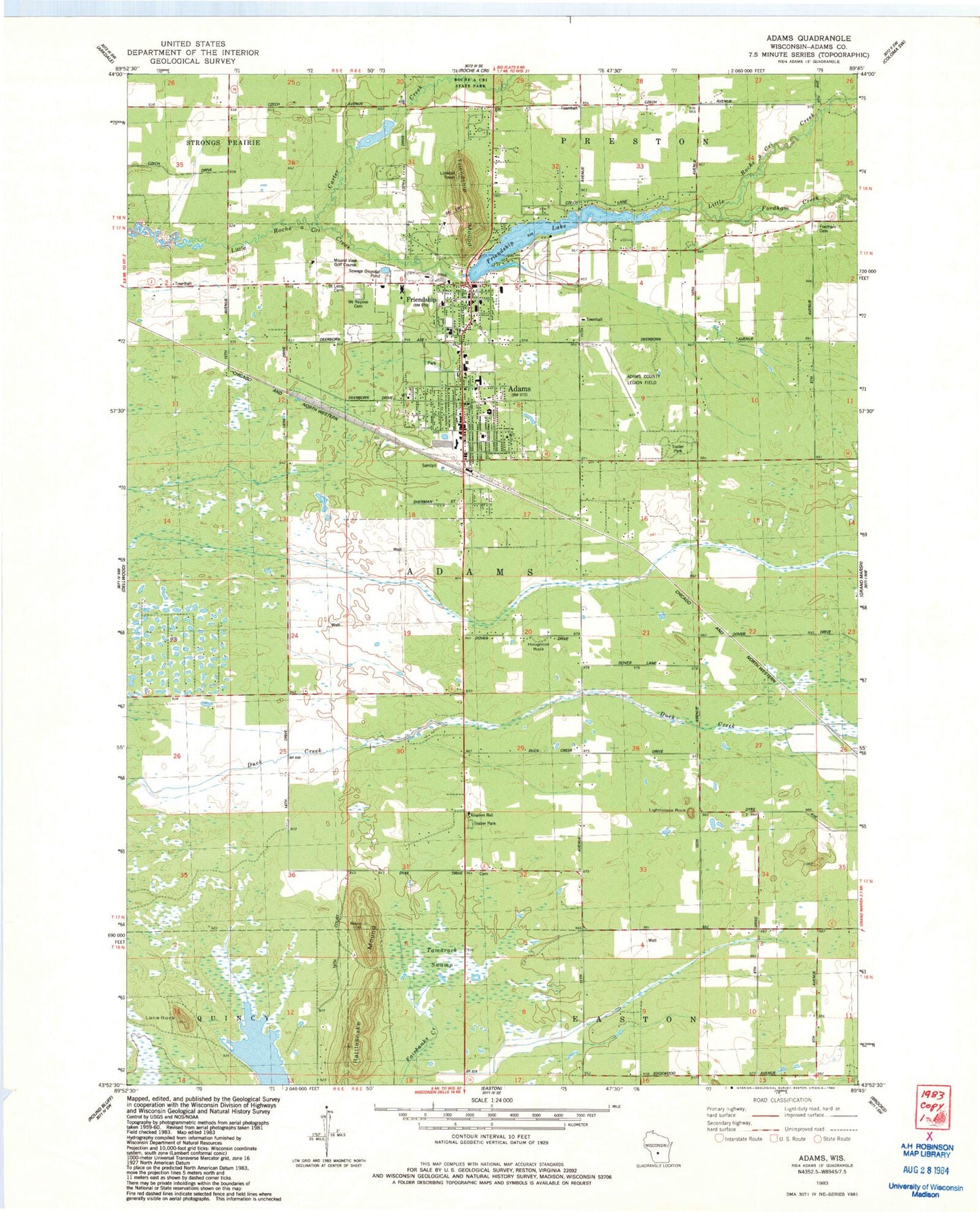
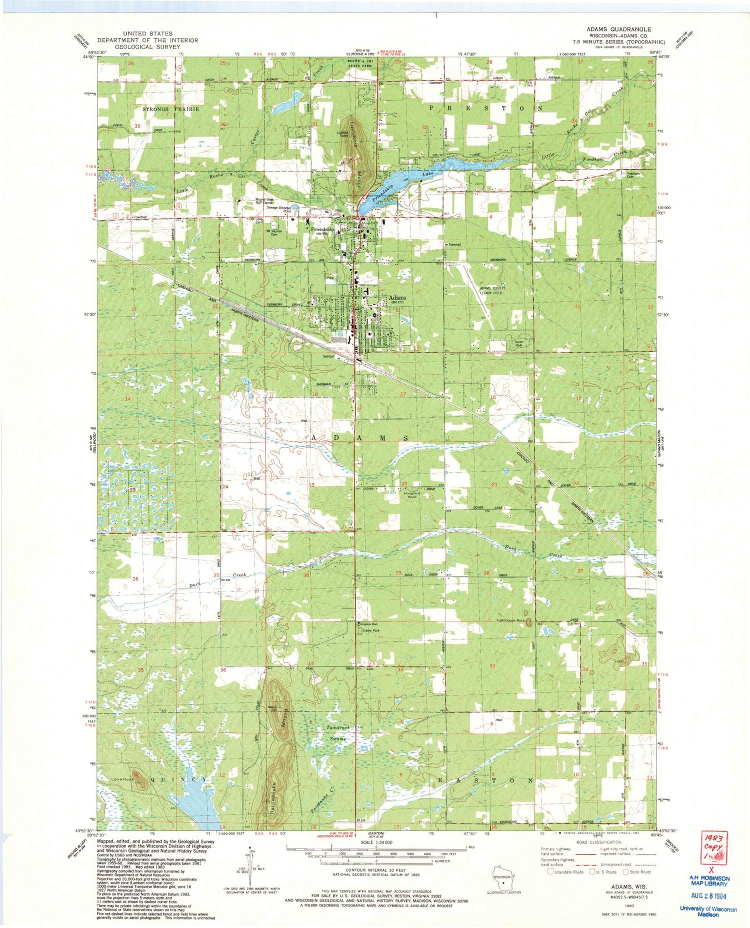
Classic USGS Adams Wisconsin 7.5'x7.5' Topo Map
Couldn't load pickup availability
Historical USGS topographic quad map of Adams in the state of Wisconsin. Map scale may vary for some years, but is generally around 1:24,000. Print size is approximately 24" x 27"
This quadrangle is in the following counties: Adams.
The map contains contour lines, roads, rivers, towns, and lakes. Printed on high-quality waterproof paper with UV fade-resistant inks, and shipped rolled.
Contains the following named places: 3 Reservoir, 50 Reservoir, 53910, 53934, Adams, Adams - Friendship Elementary School, Adams - Friendship High School, Adams - Friendship Middle School, Adams Center, Adams County, Adams County Courthouse, Adams County Fire District, Adams County Jail, Adams County Legion Field, Adams County Library, Adams County Sheriff's Office, Adams Elementary School, Adams Police Department, Adams Post Office, Adams Wastewater Treatment Plant, Carter Creek, City of Adams, First Baptist Church of Adams, Fordham Creek, Friendship, Friendship 2WP745 Dam, Friendship Lake, Friendship Mound, Friendship Post Office, Friendship Volunteer Fire Department, Houghton Rock, Immanuel Evangelical Lutheran Church, Kingdom Hall, Lighthouse Rock, Lone Rock, Mound View Golf Course, Moundview Memorial Hospital and Clinics, Mount Repose Cemetery, Rattlesnake Mound, Saint Joseph Catholic Church, Saint Leo's Cemetery, Splitek 3WR299 Dam, Tamarack Swamp, Town of Adams, Trinity Congregational Church, Trinity Lutheran Church, Village of Friendship