MyTopo
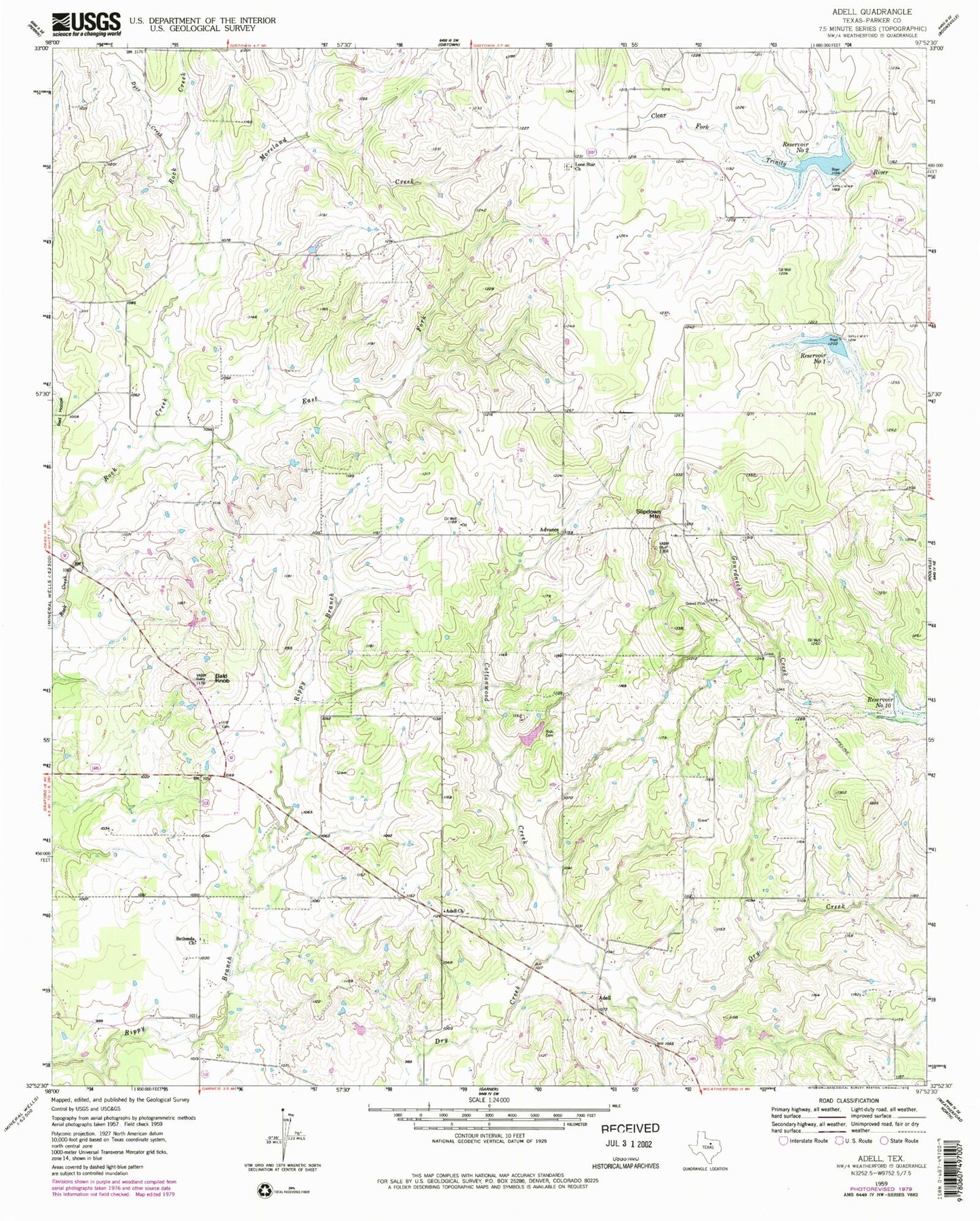
Classic USGS Adell Texas 7.5'x7.5' Topo Map
Couldn't load pickup availability
Historical USGS topographic quad map of Adell in the state of Texas. Map scale may vary for some years, but is generally around 1:24,000. Print size is approximately 24" x 27"
This quadrangle is in the following counties: Parker.
The map contains contour lines, roads, rivers, towns, and lakes. Printed on high-quality waterproof paper with UV fade-resistant inks, and shipped rolled.
Contains the following named places: Adell, Adell Church, Advance, Arnett Landing, Bald Knob, Bethesda Cemetery, Bethesda Church, Blo Airport, Brown Family Cemetery, Cottonwood Creek, Dyer Creek, East Fork Rock Creek, Grub Lake, Grub Lake Dam, Lone Star Cemetery, Lone Star Church, Mader Family Cemetery, Moreland Creek, Reservoir Number One, Reservoir Number Two, Risch Cemetery, Slipdown Mountain, Soil Conservation Service Site 1 Dam, Soil Conservation Service Site 2 Dam, Soil Conservation Service Site 2 Reservoir, Weatherford Northwest Division, ZIP Code: 76487