MyTopo
Classic USGS Adobe Flat Oregon 7.5'x7.5' Topo Map
Regular price
$16.95
Regular price
Sale price
$16.95
Unit price
per
Couldn't load pickup availability
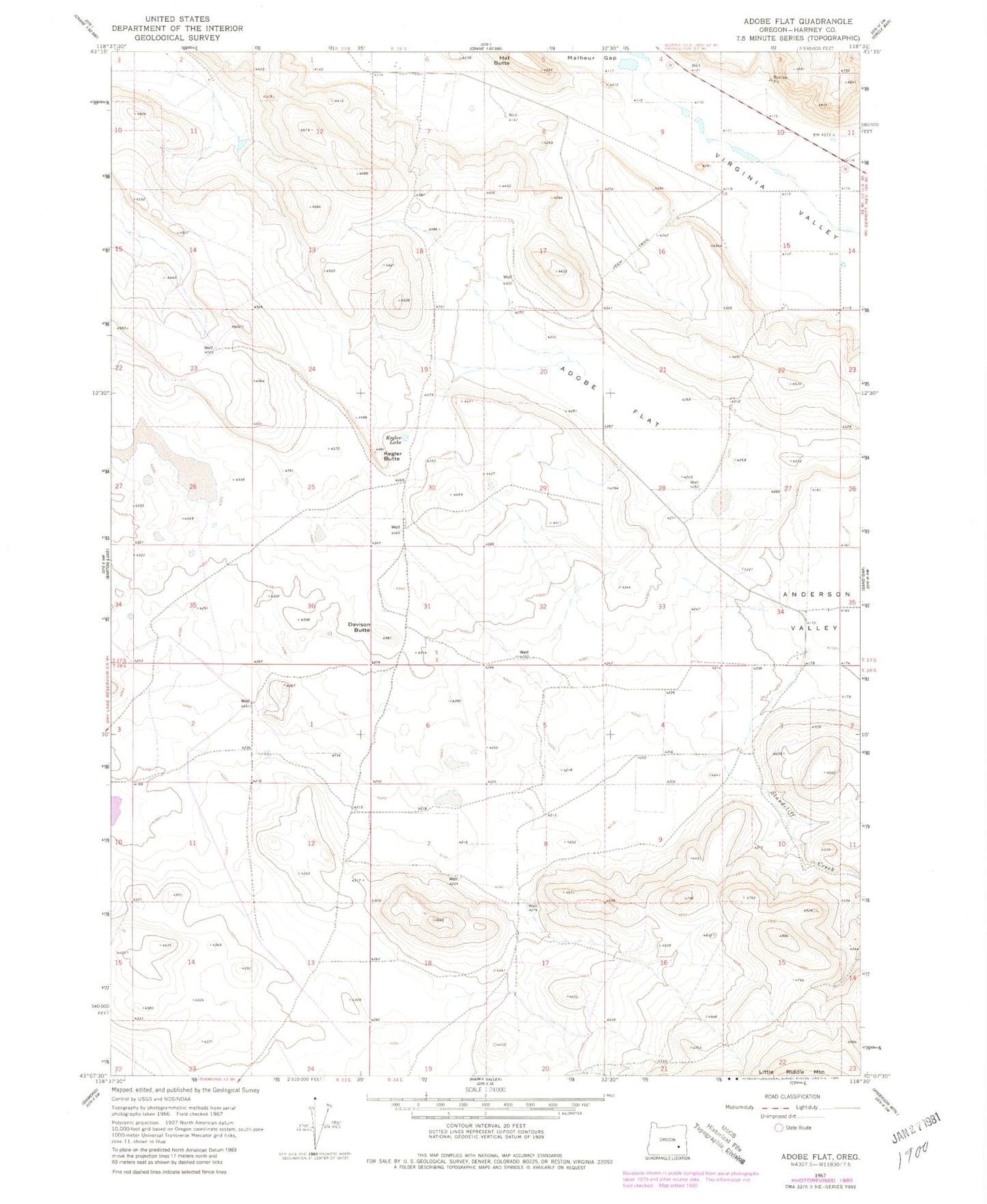
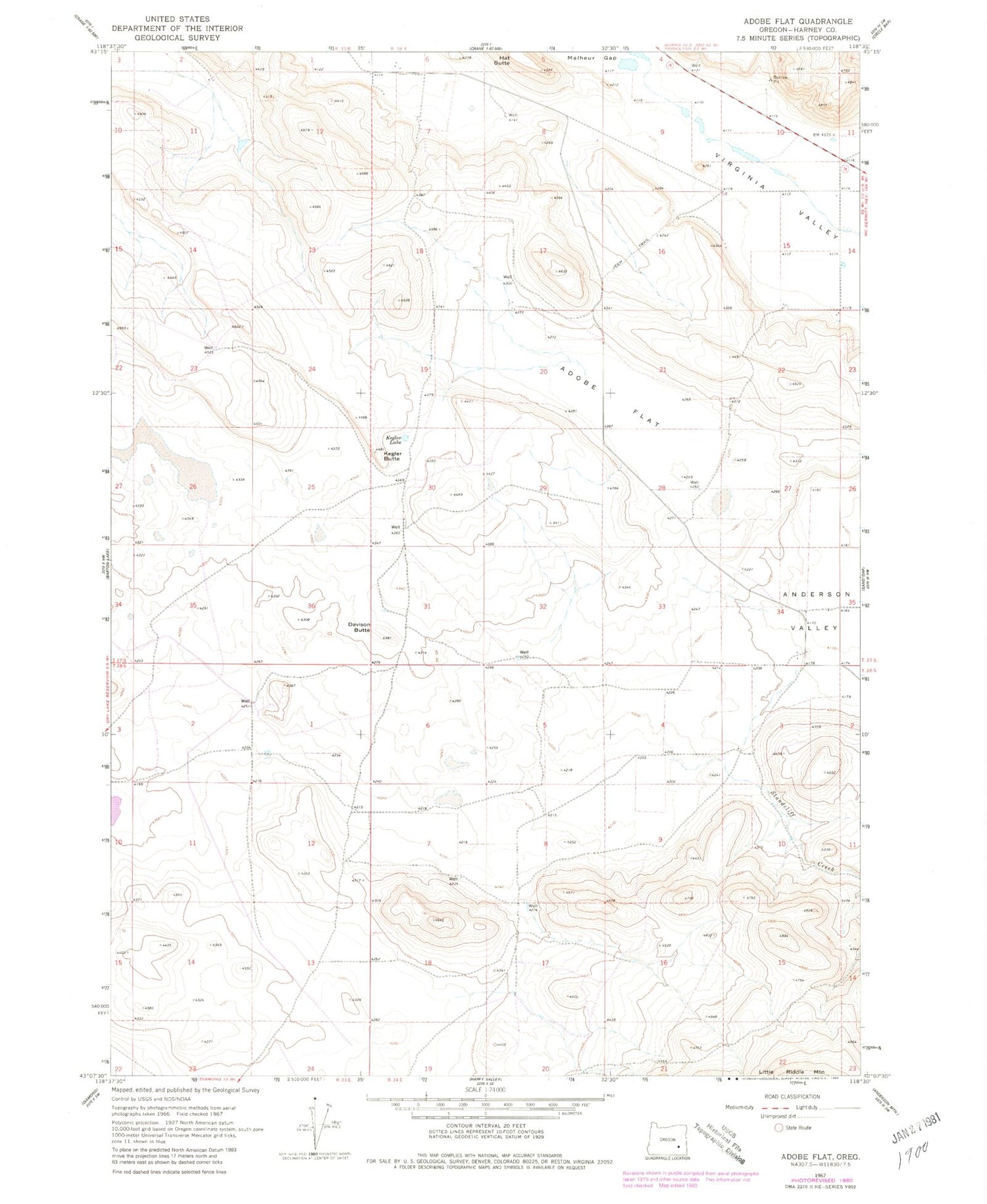
Historical USGS topographic quad map of Adobe Flat in the state of Oregon. Map scale may vary for some years, but is generally around 1:24,000. Print size is approximately 24" x 27"
This quadrangle is in the following counties: Harney.
The map contains contour lines, roads, rivers, towns, and lakes. Printed on high-quality waterproof paper with UV fade-resistant inks, and shipped rolled.
Contains the following named places: Adobe Flat, Anderson, Anderson Valley, Carl Smith Ranch, Davies Ranch, Davison Butte, Dracatos Draw, Dracatos Reservoir, Hatt Butte, Kegler Butte, Kegler Lake, Princeton, Princeton Post Office, Standcliff Creek, Virginia Valley, Windy Post Office