MyTopo
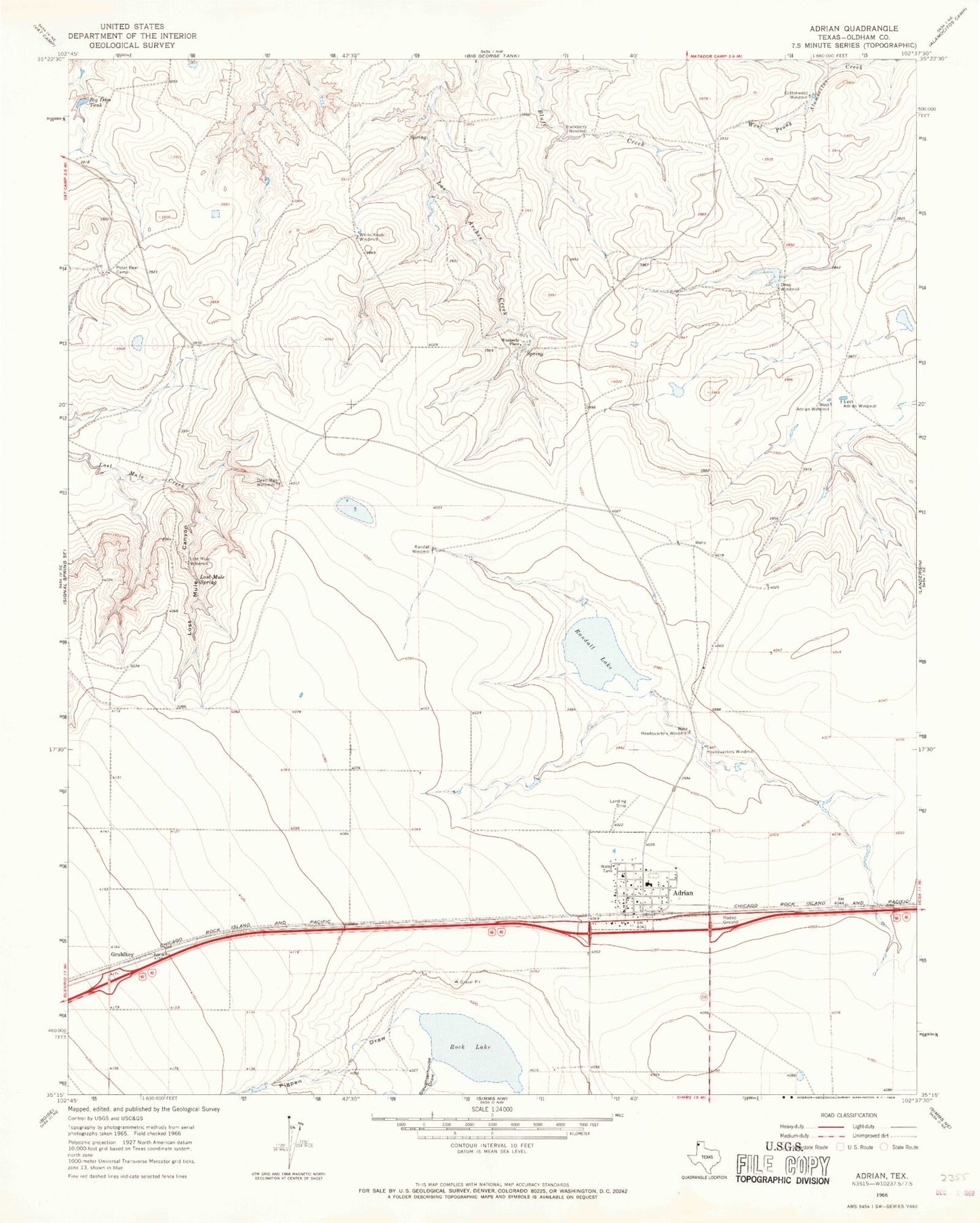
Classic USGS Adrian Texas 7.5'x7.5' Topo Map
Couldn't load pickup availability
Historical USGS topographic quad map of Adrian in the state of Texas. Map scale may vary for some years, but is generally around 1:24,000. Print size is approximately 24" x 27"
This quadrangle is in the following counties: Oldham.
The map contains contour lines, roads, rivers, towns, and lakes. Printed on high-quality waterproof paper with UV fade-resistant inks, and shipped rolled.
Contains the following named places: Adrian, Adrian City Office, Adrian Emergency Medical Services, Adrian Post Office, Adrian Volunteer Fire Department, Big Dam Tank, Big Dam Tank Dam, City of Adrian, Cottonwood Windmill, Dead Man Windmill, Deep Windmill, East Adrian Windmill, East Headquarters Windmill, Gruhlkey, Hackberry Windmill, Lost Mule Canyon, Lost Mule Spring, Lost Mule Windmill, Pigpen Draw, Polar Bear Camp, Randall Lake, Randall Windmill, Rock Lake, Slaughterhouse Draw, West Adrian Windmill, West Headquarters Windmill, West Prong Windmill, White Knob Windmill, Wimberly Place