MyTopo
Classic USGS Ady Texas 7.5'x7.5' Topo Map
Couldn't load pickup availability
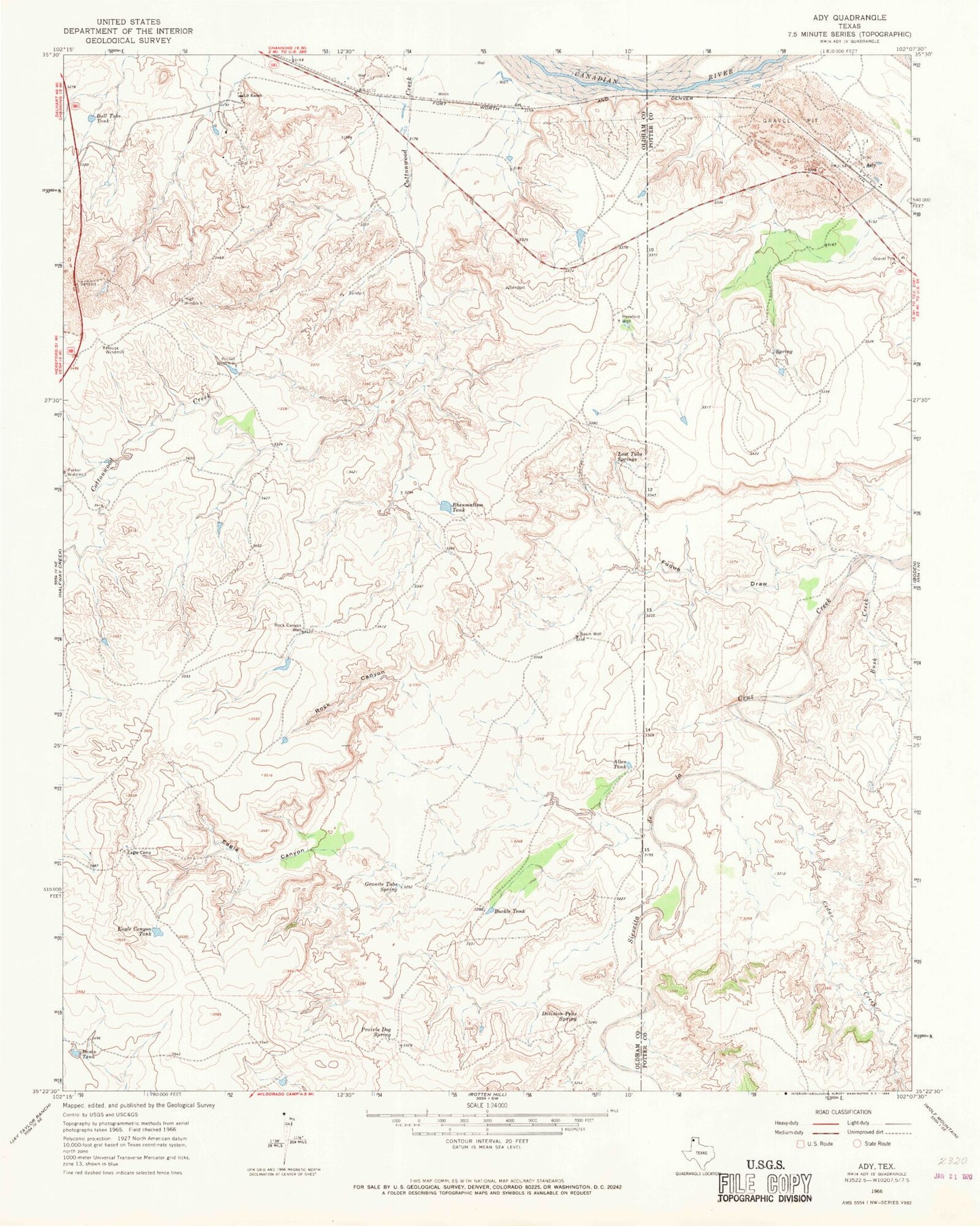
Historical USGS topographic quad map of Ady in the state of Texas. Map scale may vary for some years, but is generally around 1:24,000. Print size is approximately 24" x 27"
This quadrangle is in the following counties: Oldham, Potter.
The map contains contour lines, roads, rivers, towns, and lakes. Printed on high-quality waterproof paper with UV fade-resistant inks, and shipped rolled.
Contains the following named places: Ady, Allen Tank, Basin Tank, Basin Well, Buckle Tank, Bull Tubs Tank, Bush Creek, Cedar Creek, Division Pens Spring, Eagle Camp, Eagle Canyon, Eagle Canyon Tank, Fuqua Draw, Granite Tubs Spring, Hereford Well, High Windmill, House Windmill, Lost Tubs Springs, LS Ranch, Pocket Windmill, Prairie Dog Spring, Rheumatism Tank, Rock Canyon, Rock Canyon Well, ZIP Code: 79010