
MyTopo
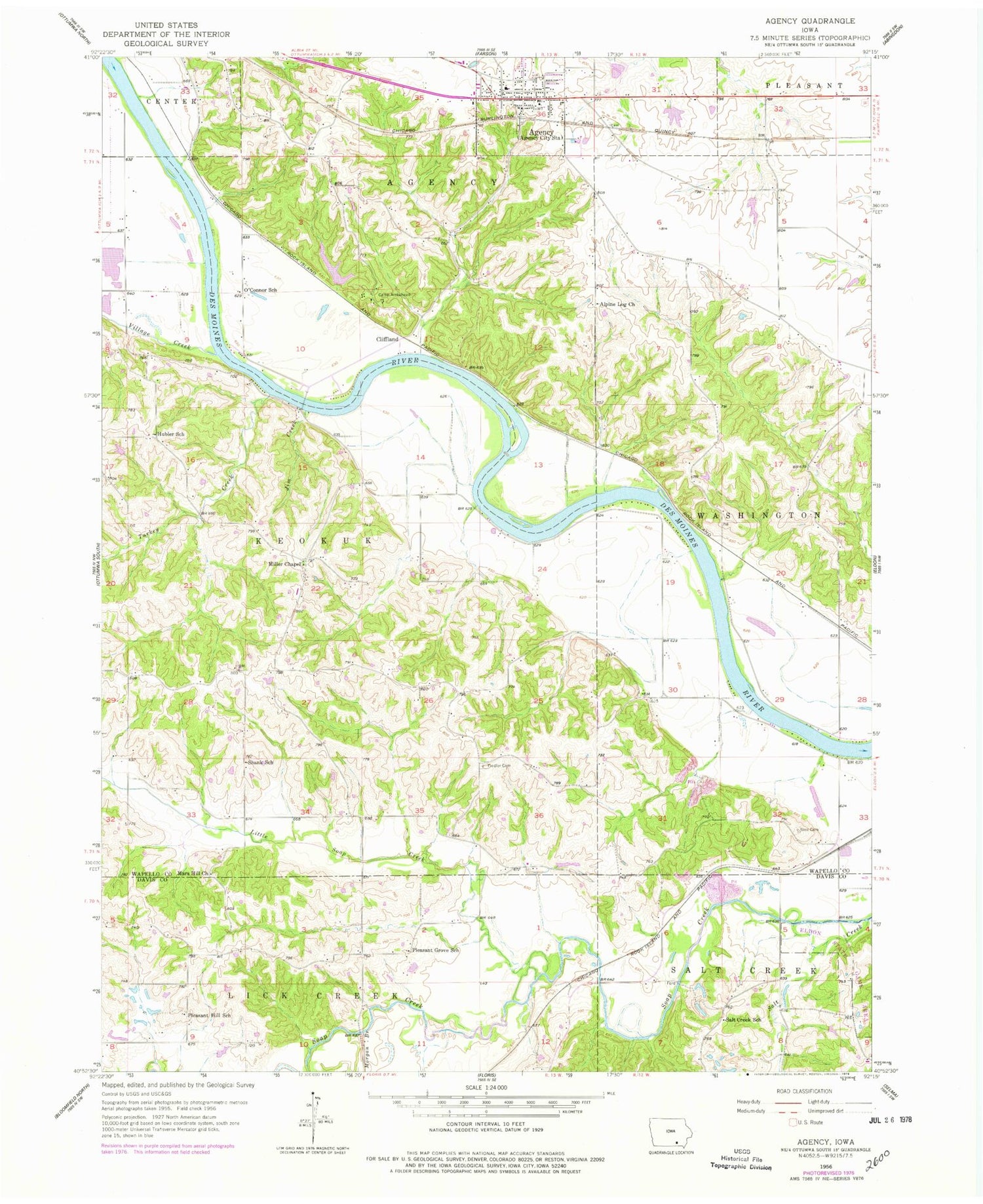
Classic USGS Agency Iowa 7.5'x7.5' Topo Map
Couldn't load pickup availability
Historical USGS topographic quad map of Agency in the state of Iowa. Map scale may vary for some years, but is generally around 1:24,000. Print size is approximately 24" x 27"
This quadrangle is in the following counties: Davis, Wapello.
The map contains contour lines, roads, rivers, towns, and lakes. Printed on high-quality waterproof paper with UV fade-resistant inks, and shipped rolled.
Contains the following named places: Agency, Agency Cemetery, Agency City Hall, Agency Post Office, Agency Public Library, Agency United Methodist Church, Agency Volunteer Fire and Rescue Department, Alpine, Alpine Log Church, Alpine Post Office, Bethlehem Church, Betterton School, Camp Arrowhead, Chief Wapello Cemetery, Chief Wapello's Grave Historical Marker, City of Agency, Cliff Land, Cliffland, Cliffland Post Office, Cliffland River Access, Fiedler Cemetery, Fiedler School, Fox Hills Wildlife Management Area, Hackney Grave, Hubler School, Laddsdale, Laddsdale Post Office, Little Soap Creek, Mars Hill Cemetery, Mars Hill Church, McCormick Cemetery, Miller Chapel, Morgan Branch, New Laddsdale Woodland Retreat, New Life Family Church, O'Connor School, Parrott Cemetery, Pleasant Grove School, Pleasant Hill School, Railback Cemetery, Salt Creek, Salt Creek School, Sedore Cemetery, Shank School, Sioc Cemetery, Township of Agency, Township of Keokuk, Turkey Creek, Village Creek, ZIP Code: 52530


