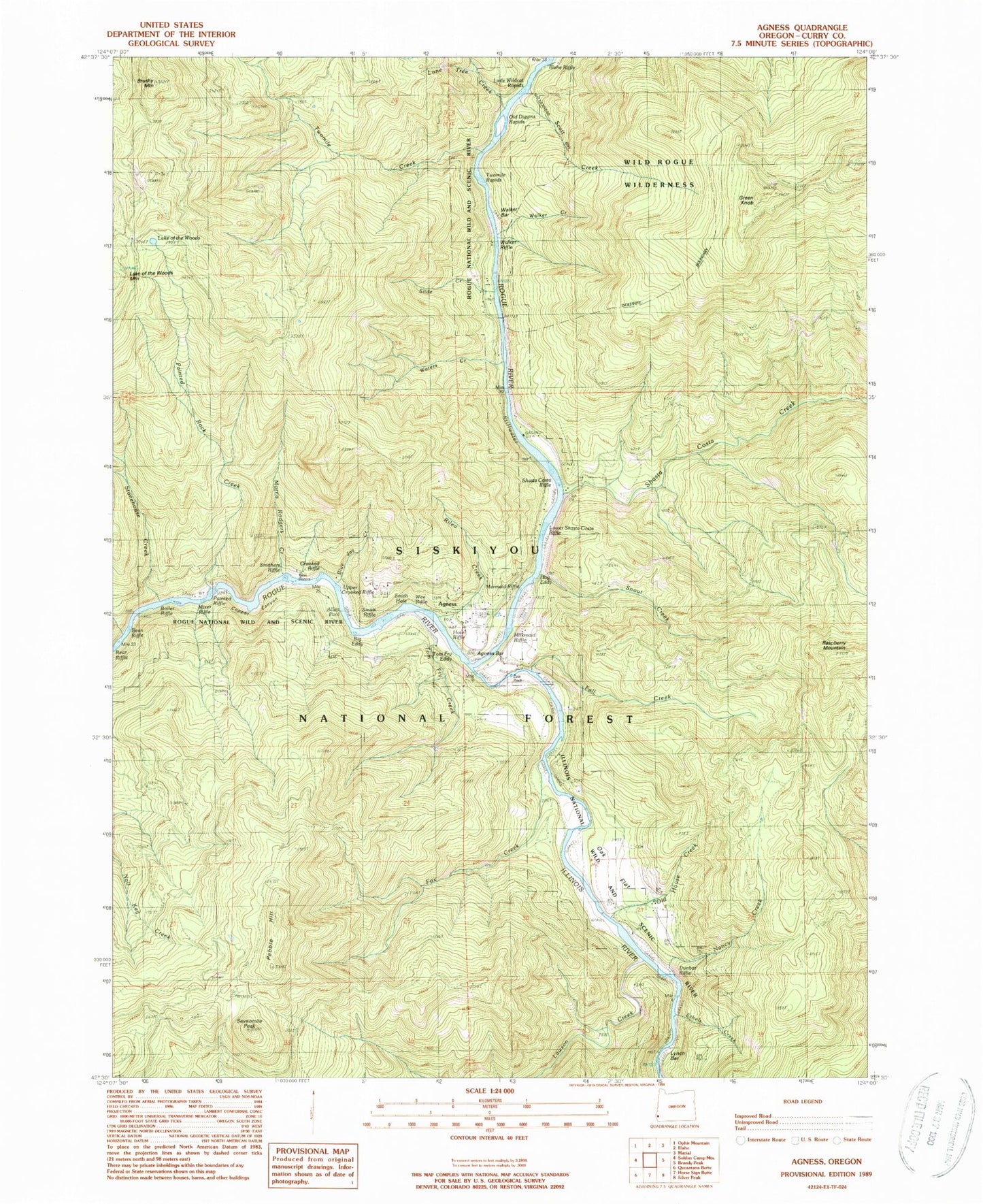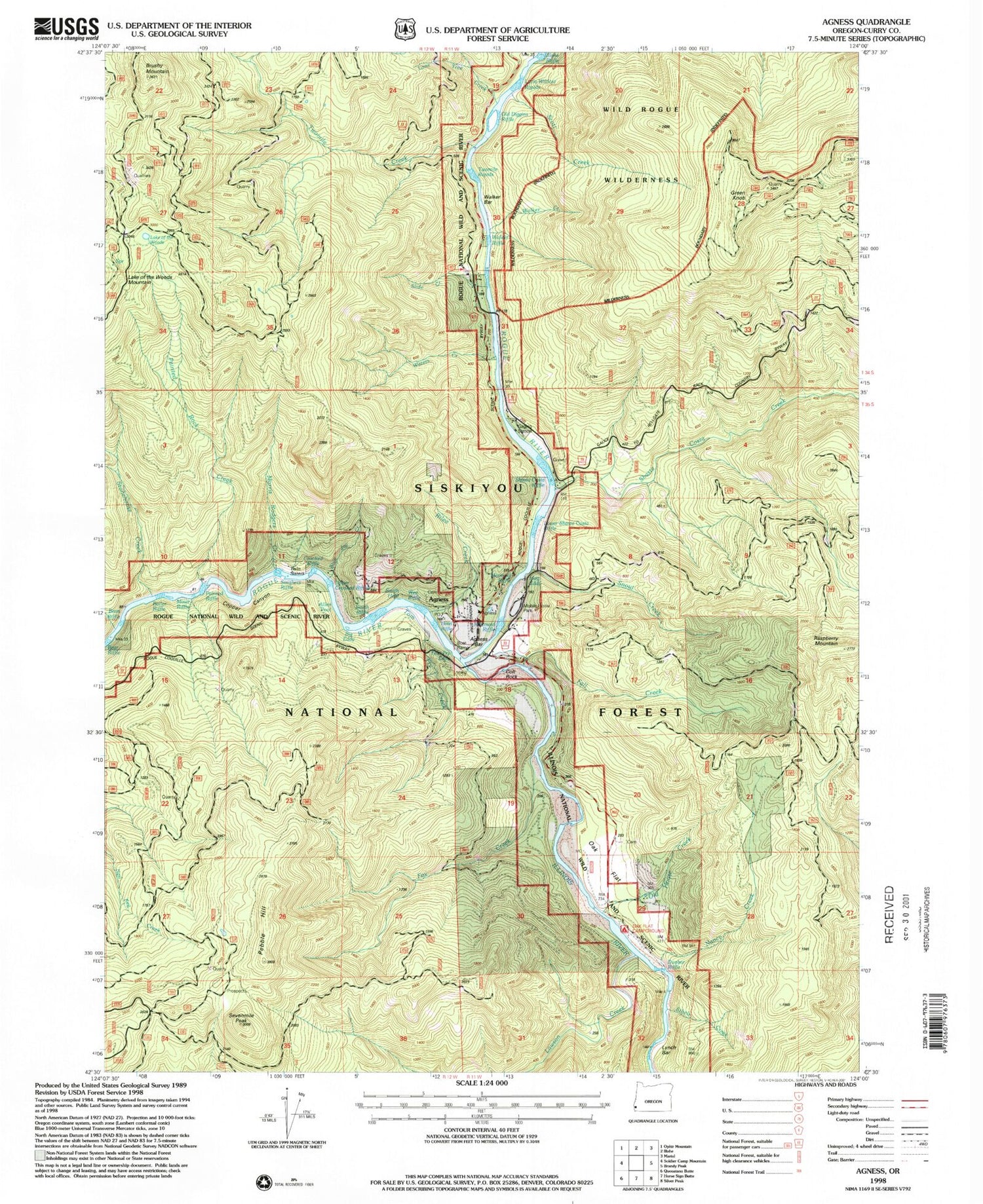

MyTopo
Classic USGS Agness Oregon 7.5'x7.5' Topo Map
Couldn't load pickup availability
Historical USGS topographic quad map of Agness in the state of Oregon. Map scale may vary for some years, but is generally around 1:24,000. Print size is approximately 24" x 27"
This quadrangle is in the following counties: Curry.
The map contains contour lines, roads, rivers, towns, and lakes. Printed on high-quality waterproof paper with UV fade-resistant inks, and shipped rolled.
Contains the following named places: Agness, Agness Bar, Agness Community Library District, Agness Elementary School, Agness Illahee Fire Department, Agness Post Office, Agness Recreation Site, Allen Pool, Anderson Creek, Bean Riffle, Big Eddy, Blue Jay Creek, Boiler Riffle, Bolan Lake Dam, Brushy Mountain, Cochran Creek, Copper Canyon, Cougar Lane Store Agness Landing, Crooked Riffle, Cumtux Post Office, Dunbar Riffle, Ethels Creek, Fall Creek, Fox Creek, Green Knob, Hotel Riffle, Illinois River, Lake of the Woods, Lawson Creek, Little Wildcat Rapids, Lone Tree Creek, Lower Shasta Costa Riffle, Lucas Gravel Bar, Lynch Bar, Mermaid Riffle, Milkmaid Riffle, Mixer Riffle, Morris Rodgers Creek, Muleshoe Creek, Nancy Creek, Oak Flat, Oak Flat Recreation Site, Oak Flats Cemetery, Old Diggins Riffle, Old House Creek, Painted Riffle, Painted Rock Creek, Pebble Hill, Raspberry Mountain, Rattlesnake Creek, Rilea Creek, Scott Creek, Sevenmile Peak, Shasta Costa Creek, Shasta Costa Riffle, Slide Creek, Smith Hole, Smith Riffle, Smithers Riffle, Snout Creek, Stonehouse Creek, Sundown Creek, Tom Fry Creek, Tom Fry Eddy, Twin Sisters, Twomile Creek, Twomile Rapids, Upper Crooked Riffle, Walker Bar, Walker Creek, Walker Riffle, Waters Creek, Waters Creek Campground, Wee Riffle, ZIP Code: 97406