MyTopo
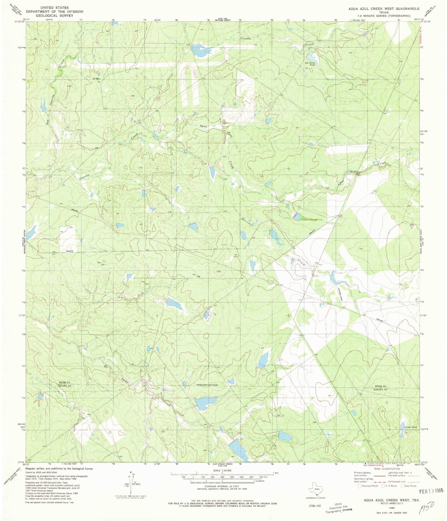
Classic USGS Agua Azul Creek West Texas 7.5'x7.5' Topo Map
Couldn't load pickup availability
Historical USGS topographic quad map of Agua Azul Creek West in the state of Texas. Map scale may vary for some years, but is generally around 1:24,000. Print size is approximately 24" x 27"
This quadrangle is in the following counties: Webb, Zapata.
The map contains contour lines, roads, rivers, towns, and lakes. Printed on high-quality waterproof paper with UV fade-resistant inks, and shipped rolled.
Contains the following named places: Agua Azul Creek, Barrocito Creek, Cerrito Creek, Hubbard Lake Number 1, Hubbard Lake Number 1 Dam, Jordan Tank, KZZQ-FM (Mirando City), L E Bruni Lake Number 1, L E Bruni Lake Number 1 Dam, L E Bruni Lake Number 2, L E Bruni Lake Number 2 Dam, L E Bruni Lake Number 4, L E Bruni Lake Number 4 Dam, La Rosita Tank, Los Lasos Tank, Rhodes Lake Dam