MyTopo
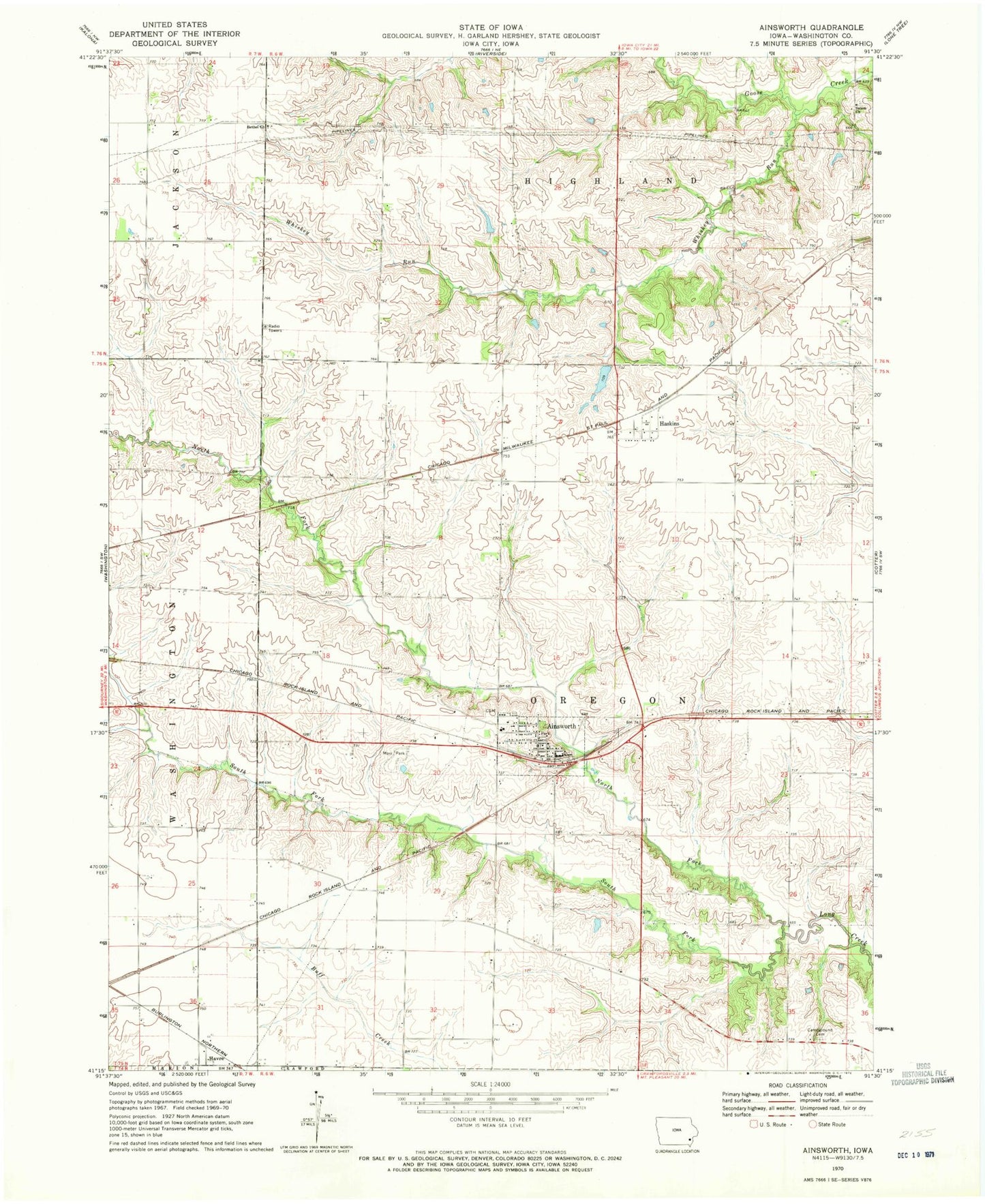
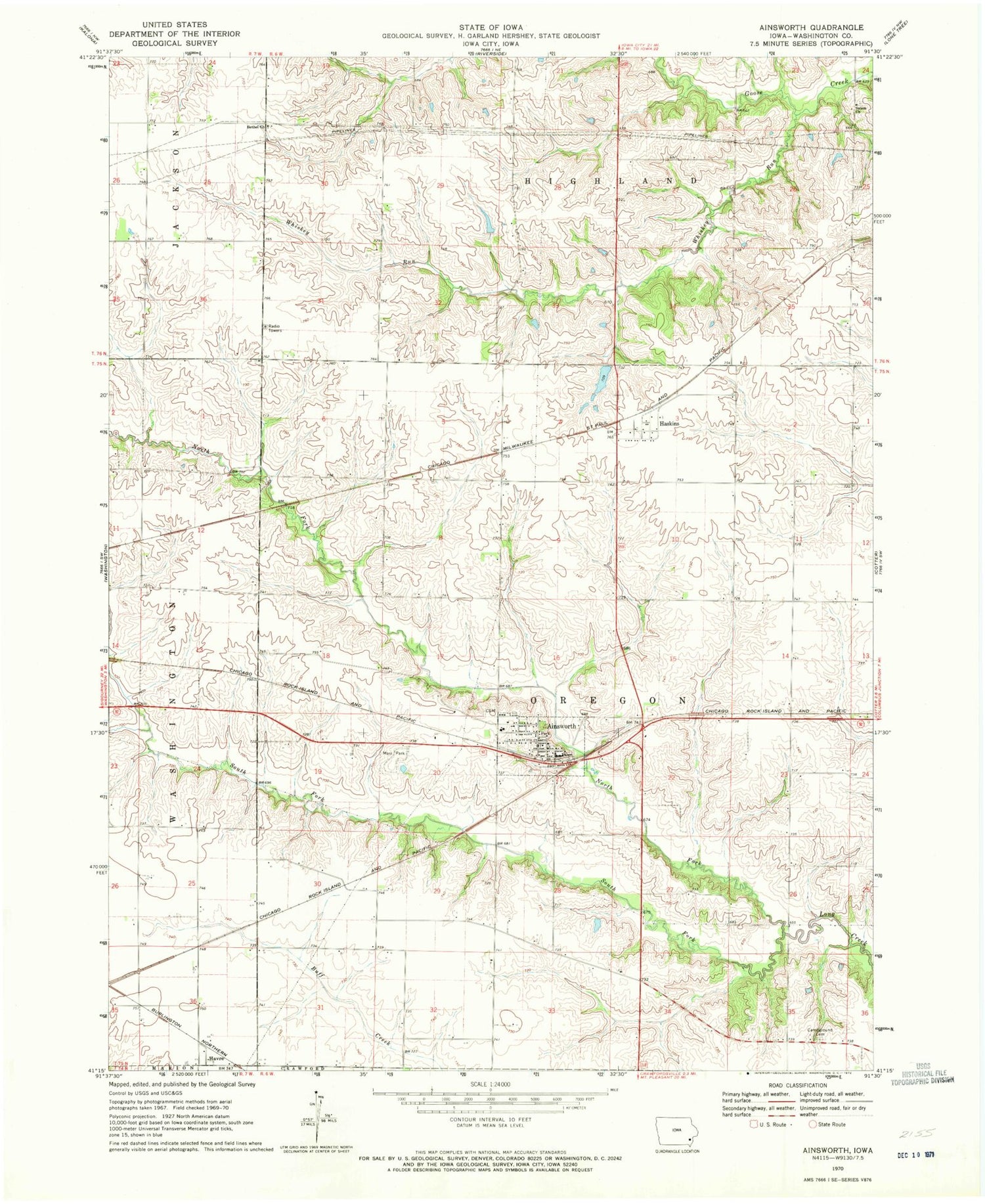
Classic USGS Ainsworth Iowa 7.5'x7.5' Topo Map
Couldn't load pickup availability
Historical USGS topographic quad map of Ainsworth in the state of Iowa. Map scale may vary for some years, but is generally around 1:24,000. Print size is approximately 24" x 27"
This quadrangle is in the following counties: Washington.
The map contains contour lines, roads, rivers, towns, and lakes. Printed on high-quality waterproof paper with UV fade-resistant inks, and shipped rolled.
Contains the following named places: Ainsworth, Ainsworth Cemetery, Ainsworth Community Church, Ainsworth Community Presbyterian Church, Ainsworth Elementary School, Ainsworth Fire and Rescue, Ainsworth Post Office, Ainsworth Town Hall, Bethel Church, Campground Cemetery, Center Hill Post Office, City of Ainsworth, Crawford Pond Park, Dairy, Farmers Co-op Elevator, Haskins, Haskins Post Office, Havre, Havre Post Office, Johnson County Home, Marr Park, North Fork Long Creek, Pottsville Post Office, Salem Cemetery, Salem Church, South Fork Long Creek, Township of Oregon, Whiskey Run, ZIP Code: 52201