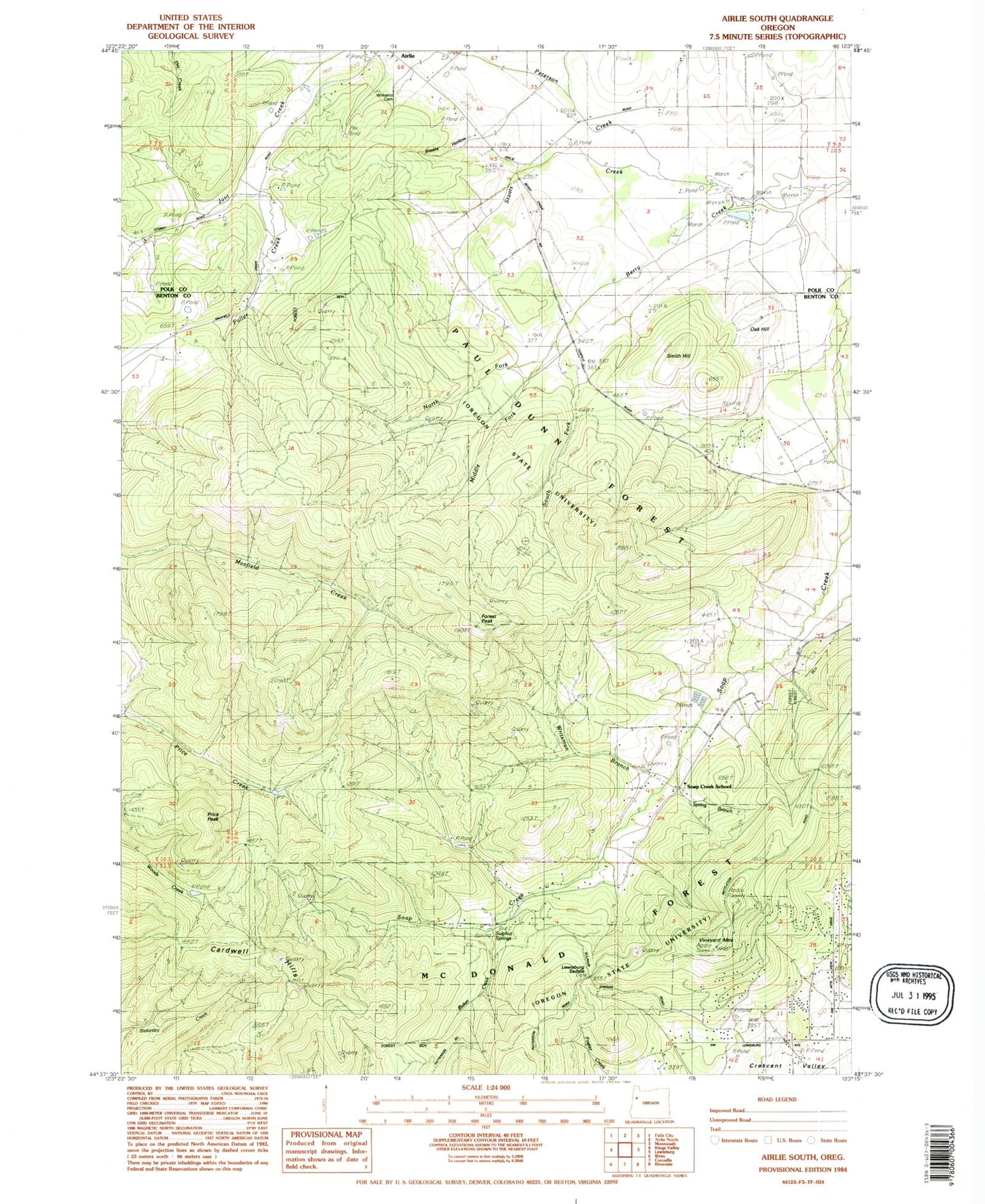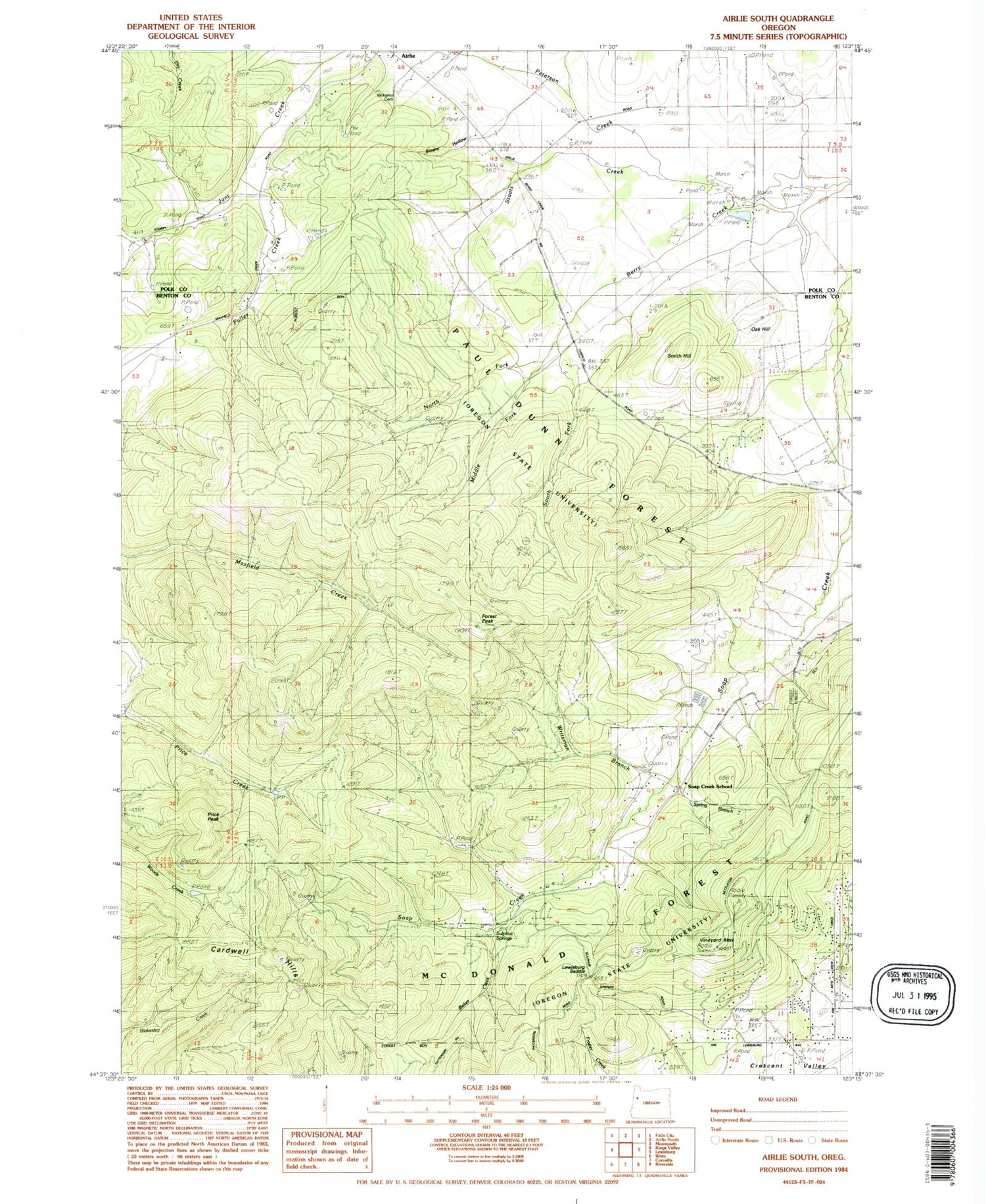
MyTopo
Classic USGS Airlie South Oregon 7.5'x7.5' Topo Map
Couldn't load pickup availability
Historical USGS topographic quad map of Airlie South in the state of Oregon. Typical map scale is 1:24,000, but may vary for certain years, if available. Print size: 24" x 27"
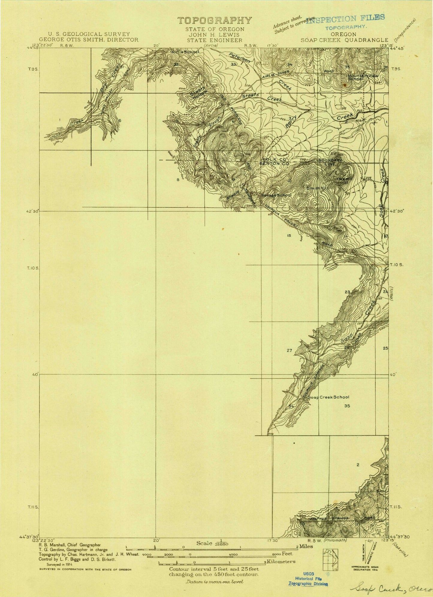
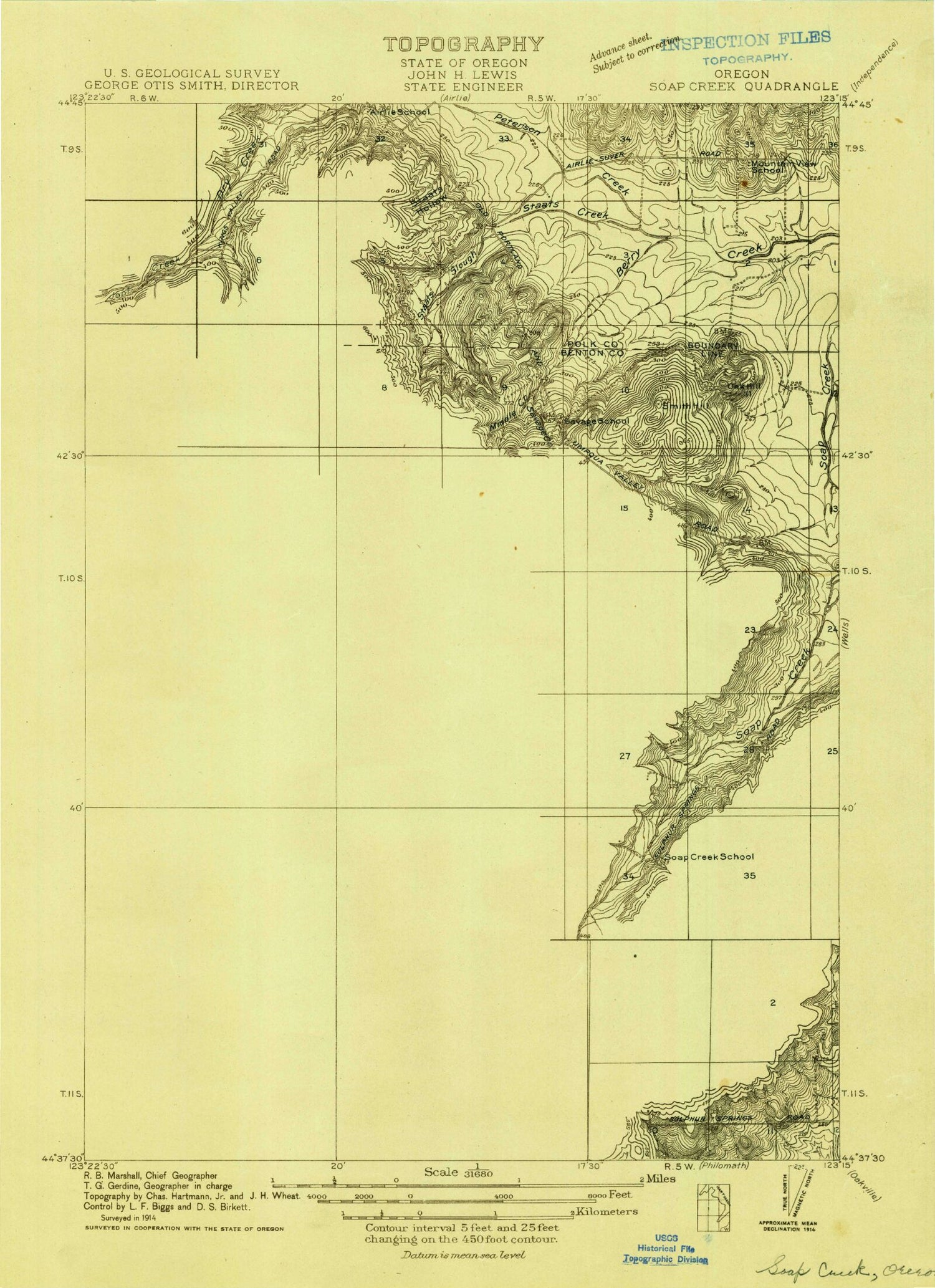
This quadrangle is in the following counties: Benton, Polk.
The map contains contour lines, roads, rivers, towns, and lakes. Printed on high-quality waterproof paper with UV fade-resistant inks, and shipped rolled.
Contains the following named places: Adair Tract State Forest, Baker Creek, Forest Peak, Middle Fork Berry Creek, North Fork Berry Creek, Peterson Creek, Price Peak, Soap Creek School (historical), South Fork Berry Creek, Staats Creek, Sulphur Springs, Vineyard Mountain, Kester Pond, Johnson Reservoir, Writsman Brook, KOAC-TV, KHPE-FM, KRKT-FM, Cardwell Hills, Spring Branch, Lewisburg Saddle, Oak Hill, Smith Hill, McDonald State Forest, KLOO-FM, Crescent Valley, Oakshire Reservoir, Kenney Reservoir, Fuller Creek, Staats Hollow, Williams Cemetery, Bald Hill City Park, Corvallis Fire Department Station 6, Adair Rural Fire Protection District Station 1402