MyTopo
Classic USGS Akawa Butte Oregon 7.5'x7.5' Topo Map
Regular price
$16.95
Regular price
Sale price
$16.95
Unit price
per
Couldn't load pickup availability
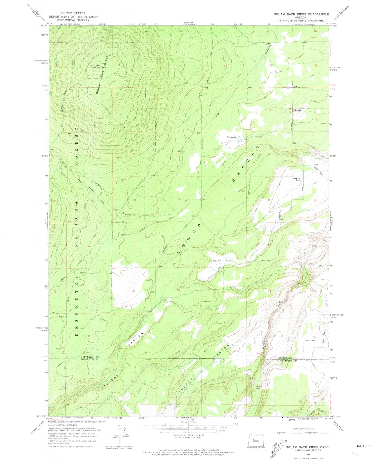
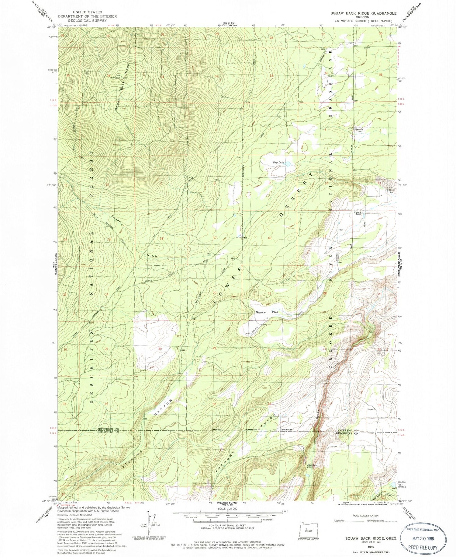
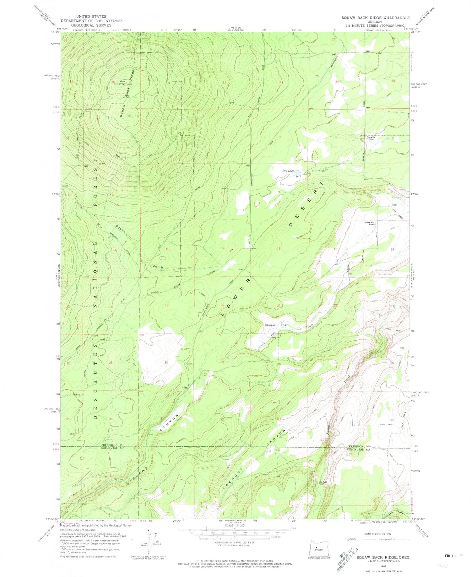
Historical USGS topographic quad map of Akawa Butte in the state of Oregon. Map scale may vary for some years, but is generally around 1:24,000. Print size is approximately 24" x 27"
This quadrangle is in the following counties: Deschutes, Jefferson.
The map contains contour lines, roads, rivers, towns, and lakes. Printed on high-quality waterproof paper with UV fade-resistant inks, and shipped rolled.
Contains the following named places: Akawa Butte, Akawa Gulch, Dry Lake, Emery Post Office, Fremont Canyon, Geneva, Geneva Post Office, Lower Desert, Rim Rock Ranch, Singing Horse Ranch, Stevens Canyon, Tai Flat