
MyTopo
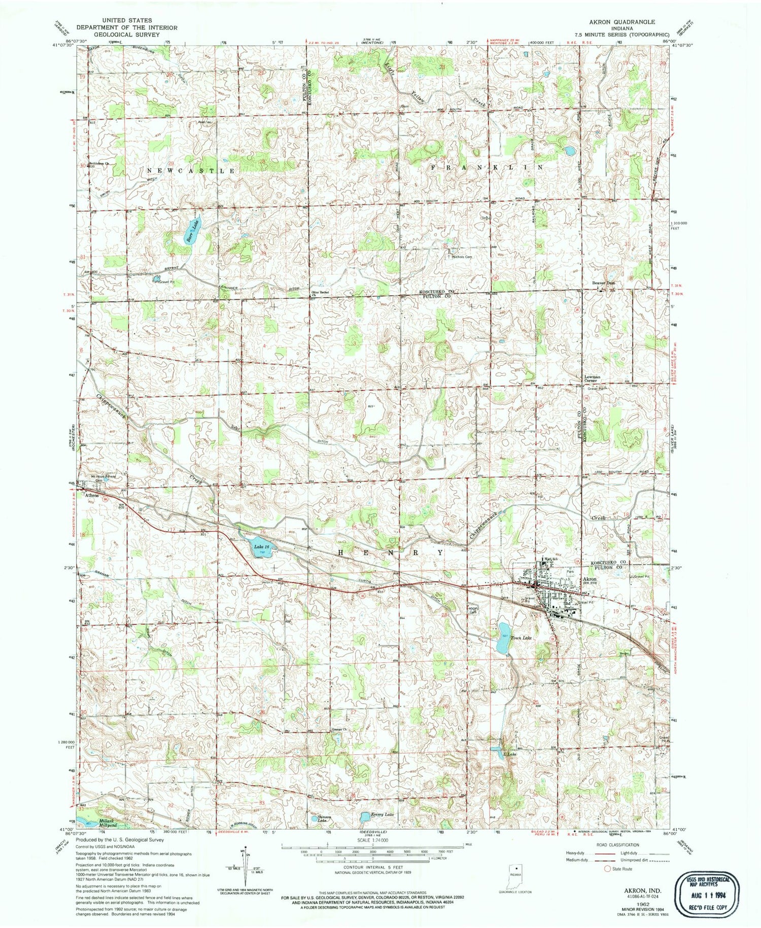
Classic USGS Akron Indiana 7.5'x7.5' Topo Map
Couldn't load pickup availability
Historical USGS topographic quad map of Akron in the state of Indiana. Map scale may vary for some years, but is generally around 1:24,000. Print size is approximately 24" x 27"
This quadrangle is in the following counties: Fulton, Kosciusko.
The map contains contour lines, roads, rivers, towns, and lakes. Printed on high-quality waterproof paper with UV fade-resistant inks, and shipped rolled.
Contains the following named places: Akron, Akron Elementary School, Akron Independent Order of Odd Fellows Cemetery, Akron Police Department, Akron Post Office, Barr Lake, Beaver Dam, Bethlehem Church, Bryant Leininger Ditch, Curtis Ditch, Gast Ditch, Graham Ditch, Henry Township Fire Department, Hoovers Cemetery, Keesey Lake, L Lake, Lake Sixteen, Lowman Corner, Millark Millpond, Nichols Cemetery, Olive Bethel Church, Omega Church, Rickle Ditch, Rowe Ditch, Stinson Lake, Town Lake, Town of Akron, Township of Franklin, Township of Henry, Woodcock Airport, ZIP Code: 46910


